
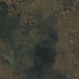

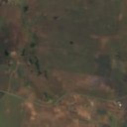

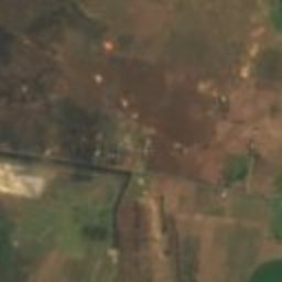
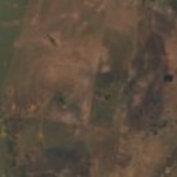


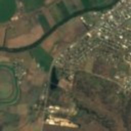

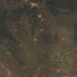
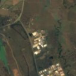


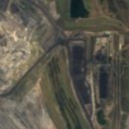
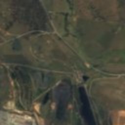
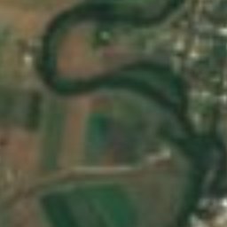
Satellite: Sentinel-2 cloudless 2016 by EOX IT Services GmbH · CC BY 4.0 · Contains modified Copernicus Sentinel data 2016
farmMuswellbrook, New South Wales
Edinglassie
Heritage Act — State Heritage Register
Typefarm
Built–
Best monthsApr · Aug–Sepweather in Muswellbrook
32.30° S, 150.83° EUTC+11 · Australian Eastern Daylight Time
When to goMuswellbrook · weather score
Best timeApr · Aug–Sep
October: high / low24° / 13°
iAbout
Edinglassie in brief
Edinglassie is a farm in Muswellbrook, New South Wales, Australia.
It holds the designation Heritage Act — State Heritage Register.
For a visit, the weather in Muswellbrook is best in April, August and September; in October afternoons average 24°.
Facts
- Type
- farm
- Designation
- Heritage Act — State Heritage Register
- Nearest town
- Muswellbrook
- Region
- New South Wales
- Coordinates
- -32.30320, 150.82900
iiLocation
Where to find it
iiiWhen to visit
Climate guideWeather in Muswellbrook
Month score for sightseeing
Best Apr · Aug–Sep49
Jan
51
Feb
62
Mar
80
Apr
78
May
74
Jun
66
Jul
79
Aug
86
Sep
78
Oct
65
Nov
59
Dec
ivNearby
All monuments in AustraliaMore heritage close by
Satellite: Sentinel-2 cloudless 2016 by EOX IT Services GmbH · CC BY 4.0 · Contains modified Copernicus Sentinel data 2016
Rous Lench
1.5 km NE
Heritage Act — State Heritage Register
Around here
Muswellbrook and around

Muswellbrook
New South Wales · Australia
Apr · Aug–Sepbest months
15°July high
164 maltitude
Nature


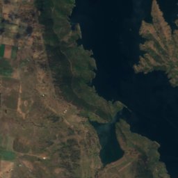
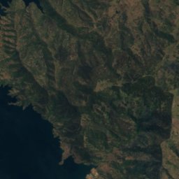
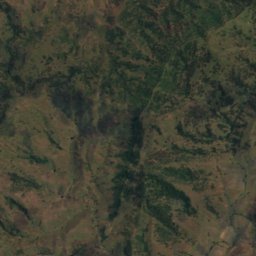
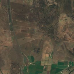
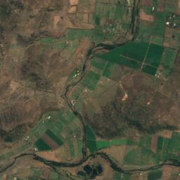
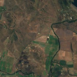
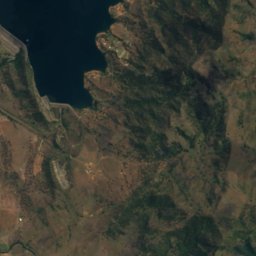
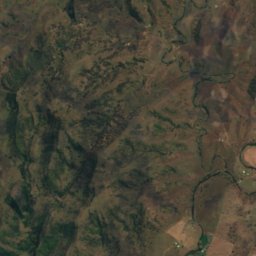
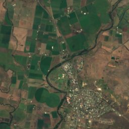
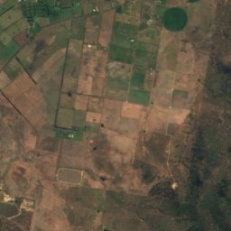
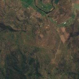
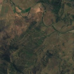
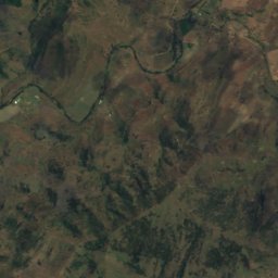
Satellite: Sentinel-2 cloudless 2016 by EOX IT Services GmbH · CC BY 4.0 · Contains modified Copernicus Sentinel data 2016
Rouchel Brook
River
Mountains

Heritage

Muswellbrook railway station
Heritage Act — State Heritage Register




Satellite: Sentinel-2 cloudless 2016 by EOX IT Services GmbH · CC BY 4.0 · Contains modified Copernicus Sentinel data 2016
Loxton House
Heritage Act — State Heritage Register