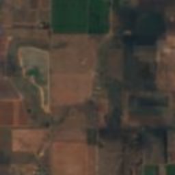
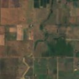
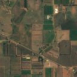
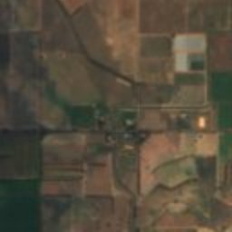
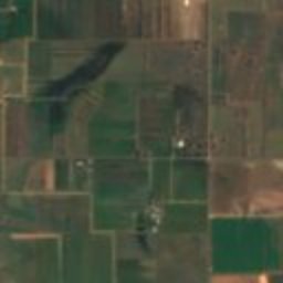
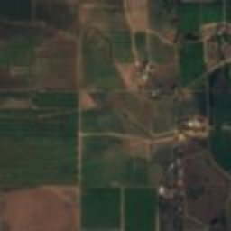
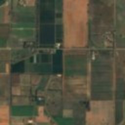
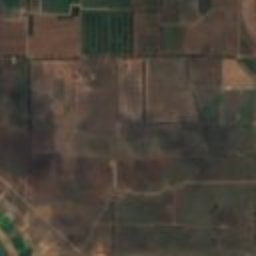
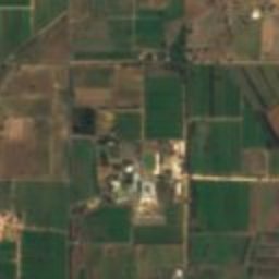

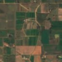
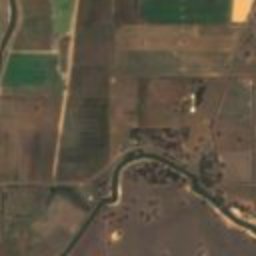
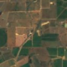
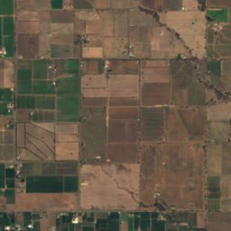
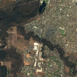
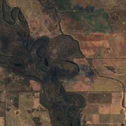
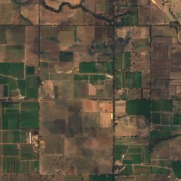
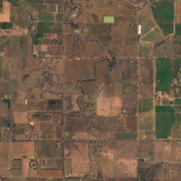
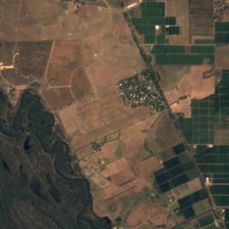
Satellite: Sentinel-2 cloudless 2016 by EOX IT Services GmbH · CC BY 4.0 · Contains modified Copernicus Sentinel data 2016
heritage siteTatura, Victoria
Dhurringile
listed on the Victorian Heritage Register
Typeheritage site
Built–
Best monthsMar–Mayweather in Tatura
36.52° S, 145.23° EUTC+11 · Australian Eastern Daylight Time
When to goTatura · weather score
Best timeMar–May
October: high / low20° / 9°
iAbout
Dhurringile in brief
Dhurringile is a heritage site in Tatura, Victoria, Australia.
It holds the designation listed on the Victorian Heritage Register.
For a visit, the weather in Tatura is best in March, April and May; in October afternoons average 20°.
iiLocation
Where to find it
iiiWhen to visit
Climate guideWeather in Tatura
Month score for sightseeing
Best Mar–May67
Jan
74
Feb
83
Mar
86
Apr
80
May
51
Jun
48
Jul
58
Aug
75
Sep
78
Oct
77
Nov
78
Dec
Around here
Tatura and around

Nature
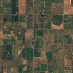
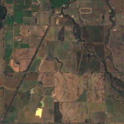
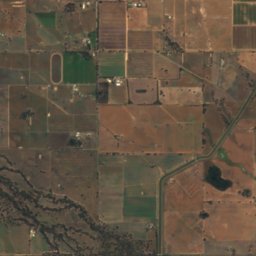
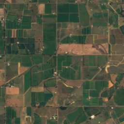
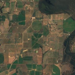
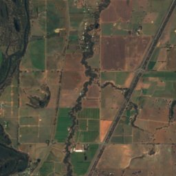
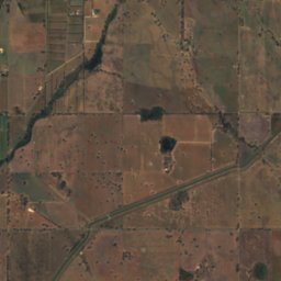
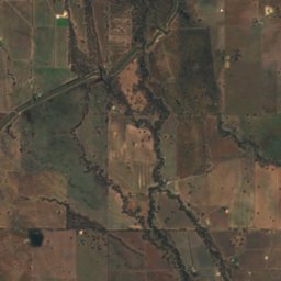
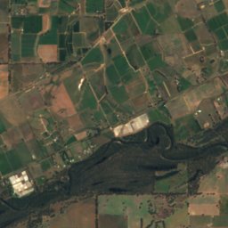
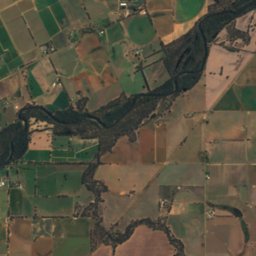
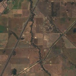
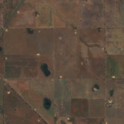
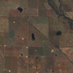
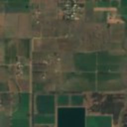
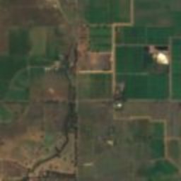
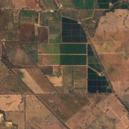
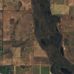
Satellite: Sentinel-2 cloudless 2016 by EOX IT Services GmbH · CC BY 4.0 · Contains modified Copernicus Sentinel data 2016
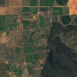
Seven Creeks
River
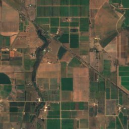
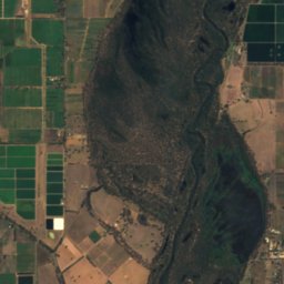
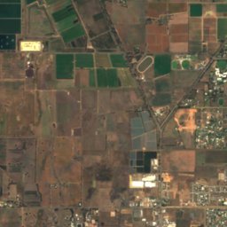
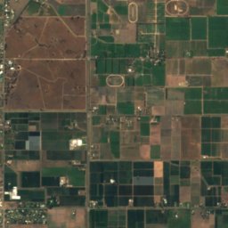
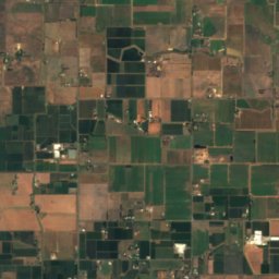
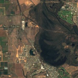
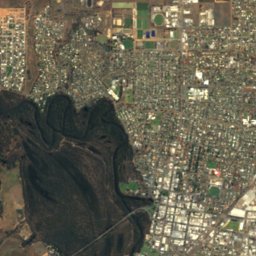
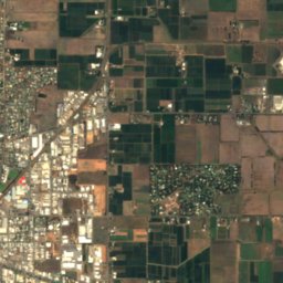
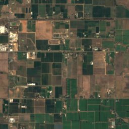
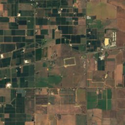
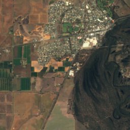
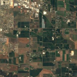
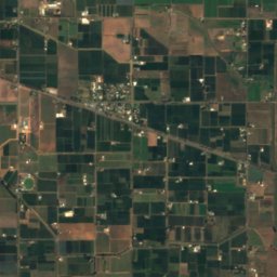
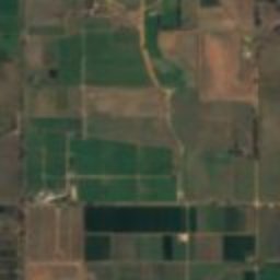
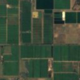
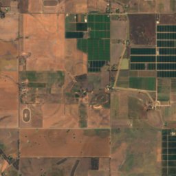
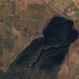
Satellite: Sentinel-2 cloudless 2016 by EOX IT Services GmbH · CC BY 4.0 · Contains modified Copernicus Sentinel data 2016
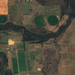
Victoria Park Lake
Lake · 105 m
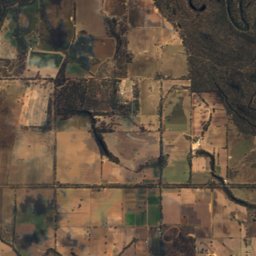
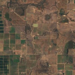
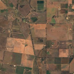
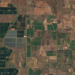

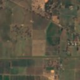
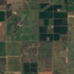
Satellite: Sentinel-2 cloudless 2016 by EOX IT Services GmbH · CC BY 4.0 · Contains modified Copernicus Sentinel data 2016
Loch Garry
Lake · 112 m