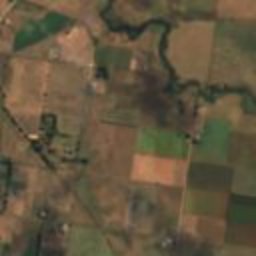
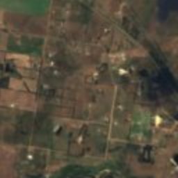
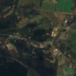
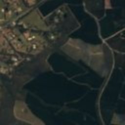
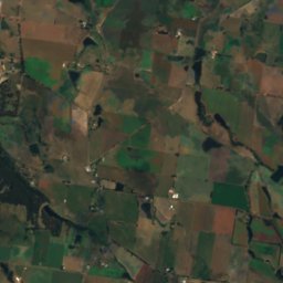
Satellite: Sentinel-2 cloudless 2016 by EOX IT Services GmbH · CC BY 4.0 · Contains modified Copernicus Sentinel data 2016
station located on surfaceCreswick, Victoria
Creswick
listed on the Victorian Heritage Register
Typestation located on surface
Built–
Best monthsFeb–Mar · Decweather in Creswick
37.42° S, 143.89° EUTC+11 · Australian Eastern Daylight Time
When to goCreswick · weather score
Best timeFeb–Mar · Dec
October: high / low16° / 7°
iAbout
Creswick in brief
Creswick is a station located on surface in Creswick, Victoria, Australia.
It holds the designation listed on the Victorian Heritage Register.
For a visit, the weather in Creswick is best in February, March and December; in October afternoons average 16°.
iiLocation
Where to find it
iiiWhen to visit
Climate guideWeather in Creswick
Month score for sightseeing
Best Feb–Mar · Dec82
Jan
90
Feb
85
Mar
82
Apr
57
May
31
Jun
31
Jul
38
Aug
53
Sep
65
Oct
74
Nov
84
Dec
ivNearby
All monuments in AustraliaMore heritage close by
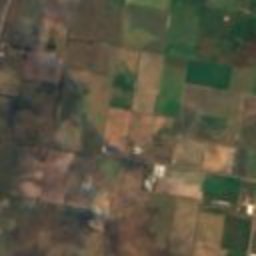
Satellite: Sentinel-2 cloudless 2016 by EOX IT Services GmbH · CC BY 4.0 · Contains modified Copernicus Sentinel data 2016
Victorian School of Forestry
1.0 km E
listed on the Victorian Heritage Register
Around here
Creswick and around

Nature
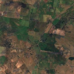
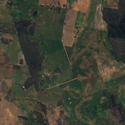
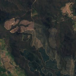
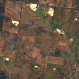
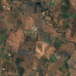
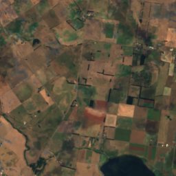
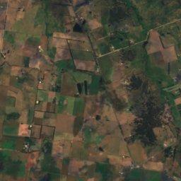
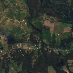
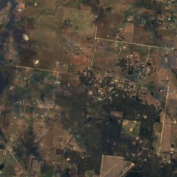
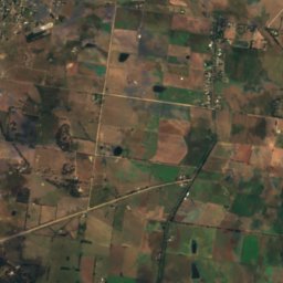
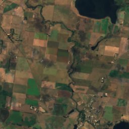
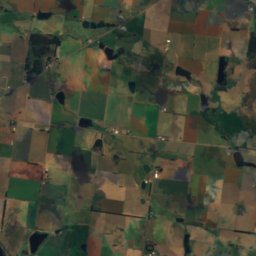
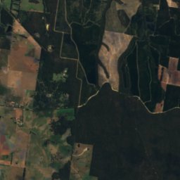
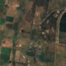
Satellite: Sentinel-2 cloudless 2016 by EOX IT Services GmbH · CC BY 4.0 · Contains modified Copernicus Sentinel data 2016
Hepburn Lagoon
Lake · 520 m
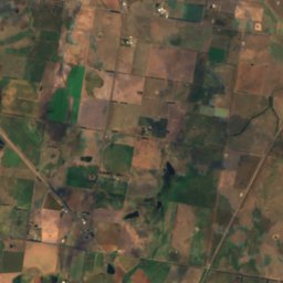
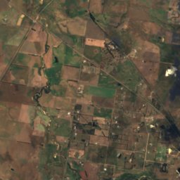
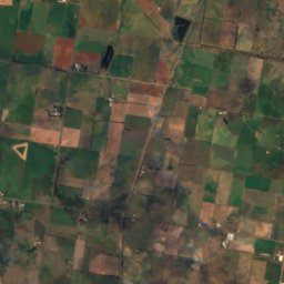
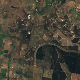
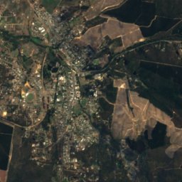
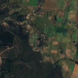
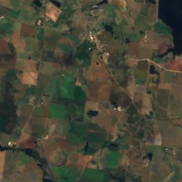
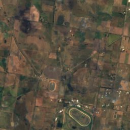
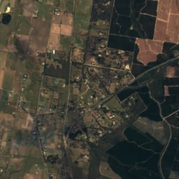
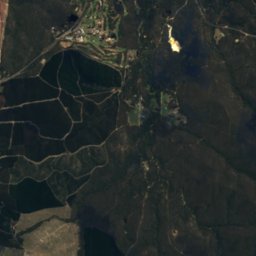
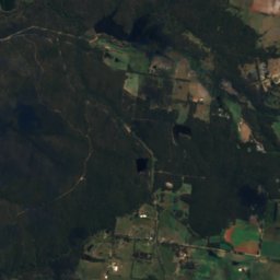
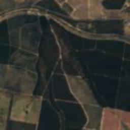
Satellite: Sentinel-2 cloudless 2016 by EOX IT Services GmbH · CC BY 4.0 · Contains modified Copernicus Sentinel data 2016
St Georges Lake
Lake · 442 m
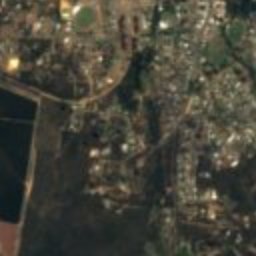
Satellite: Sentinel-2 cloudless 2016 by EOX IT Services GmbH · CC BY 4.0 · Contains modified Copernicus Sentinel data 2016
Blue Waters
Lake · 455 m
Mountains


Heritage
Satellite: Sentinel-2 cloudless 2016 by EOX IT Services GmbH · CC BY 4.0 · Contains modified Copernicus Sentinel data 2016
Victorian School of Forestry
listed on the Victorian Heritage Register · 1910
Museums
Satellite: Sentinel-2 cloudless 2016 by EOX IT Services GmbH · CC BY 4.0 · Contains modified Copernicus Sentinel data 2016
Creswick Town Hall
1876


Satellite: Sentinel-2 cloudless 2016 by EOX IT Services GmbH · CC BY 4.0 · Contains modified Copernicus Sentinel data 2016
Ballarat Aviation Museum
Aviation museum