
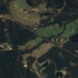








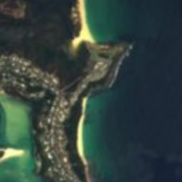








Satellite: Sentinel-2 cloudless 2016 by EOX IT Services GmbH · CC BY 4.0 · Contains modified Copernicus Sentinel data 2016
houseMerimbula, New South Wales
Courunga
Heritage Act — State Heritage Registerlisted on the Register of the National Estate
Typehouse
Built–
Best monthsApr–May · Sepweather in Merimbula
36.89° S, 149.91° EUTC+11 · Australian Eastern Daylight Time
When to goMerimbula · weather score
Best timeApr–May · Sep
October: high / low19° / 12°
iAbout
Courunga in brief
Courunga is a house in Merimbula, New South Wales, Australia.
It holds the designations Heritage Act — State Heritage Register, listed on the Register of the National Estate and Local Environmental Plan.
For a visit, the weather in Merimbula is best in April, May and September; in October afternoons average 19°.
Facts
- Type
- house
- Designation
- Heritage Act — State Heritage Register
- listed on the Register of the National Estate
- Local Environmental Plan
- Nearest town
- Merimbula
- Region
- New South Wales
- Coordinates
- -36.89130, 149.90760
iiLocation
Where to find it
Around here
Merimbula and around

Nature

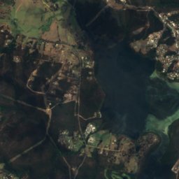
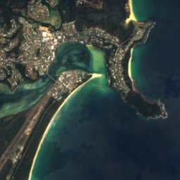
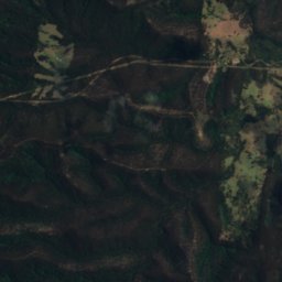
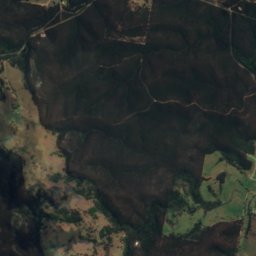
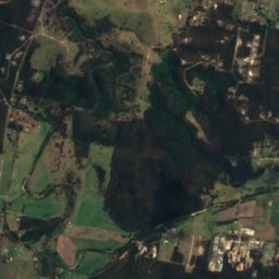
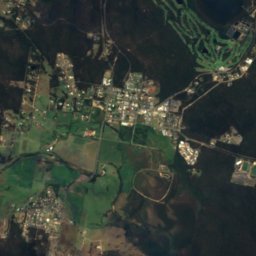
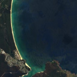
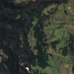
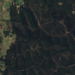
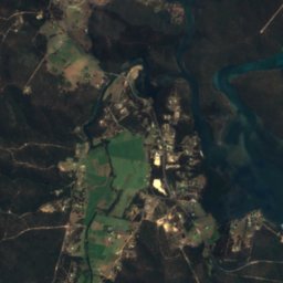
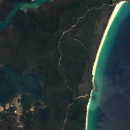
Satellite: Sentinel-2 cloudless 2016 by EOX IT Services GmbH · CC BY 4.0 · Contains modified Copernicus Sentinel data 2016
Pambula River
River

Satellite: Sentinel-2 cloudless 2016 by EOX IT Services GmbH · CC BY 4.0 · Contains modified Copernicus Sentinel data 2016
Panbula Lake
Lake · 26 m
Heritage




Satellite: Sentinel-2 cloudless 2016 by EOX IT Services GmbH · CC BY 4.0 · Contains modified Copernicus Sentinel data 2016
Greigs Flat Bridge over Yowaka River
Heritage Act - s.170 NSW State agency heritage register



Satellite: Sentinel-2 cloudless 2016 by EOX IT Services GmbH · CC BY 4.0 · Contains modified Copernicus Sentinel data 2016
Oaklands, Pambula
Local Environmental Plan