









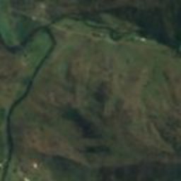



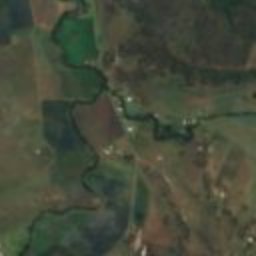



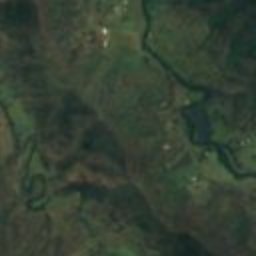



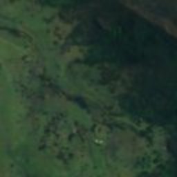
Satellite: Sentinel-2 cloudless 2016 by EOX IT Services GmbH · CC BY 4.0 · Contains modified Copernicus Sentinel data 2016
heritage siteDarlington, Queensland
Canning Downs
listed on the Queensland Heritage Register
Typeheritage site
Built–
Best monthsJun · Aug–Sepweather in Darlington
28.23° S, 153.07° EUTC+10 · Australian Eastern Standard Time
When to goDarlington · weather score
Best timeJun · Aug–Sep
October: high / low24° / 13°
iAbout
Canning Downs in brief
Canning Downs is a heritage site in Darlington, Queensland, Australia.
It holds the designation listed on the Queensland Heritage Register.
For a visit, the weather in Darlington is best in June, August and September; in October afternoons average 24°.
Facts
- Type
- heritage site
- Designation
- listed on the Queensland Heritage Register
- Nearest town
- Darlington
- Region
- Queensland
- Coordinates
- -28.22610, 153.06700
iiLocation
Where to find it
iiiWhen to visit
Climate guideWeather in Darlington
Month score for sightseeing
Best Jun · Aug–Sep54
Jan
58
Feb
66
Mar
71
Apr
70
May
86
Jun
80
Jul
87
Aug
87
Sep
75
Oct
67
Nov
56
Dec
Around here
Darlington and around

Nature


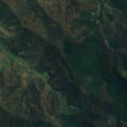
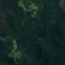
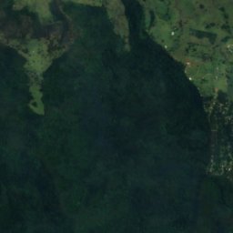
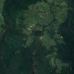
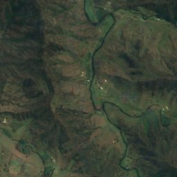
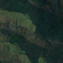
Satellite: Sentinel-2 cloudless 2016 by EOX IT Services GmbH · CC BY 4.0 · Contains modified Copernicus Sentinel data 2016
Elabana Falls
Waterfall
Mountains
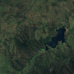
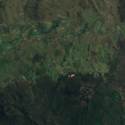
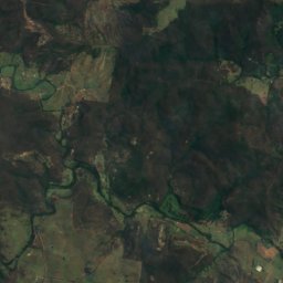
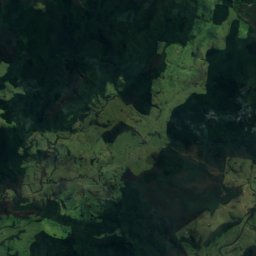
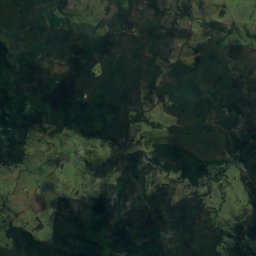
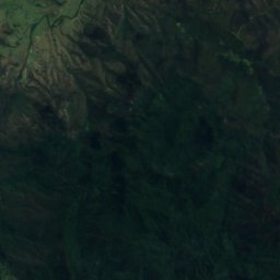
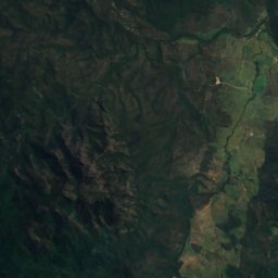
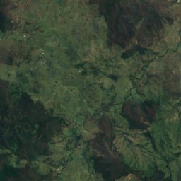
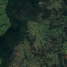
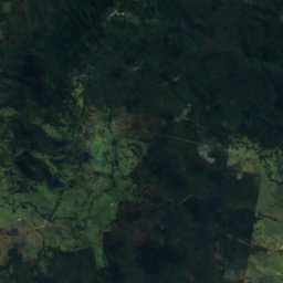
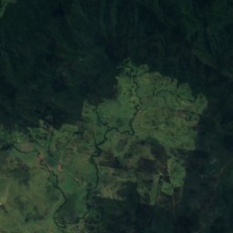
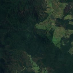
Satellite: Sentinel-2 cloudless 2016 by EOX IT Services GmbH · CC BY 4.0 · Contains modified Copernicus Sentinel data 2016
Mount Barney
1,359 m · McPherson Range


Heritage

Photo: Poyt448 Peter Woodard · Public domain · Wikimedia CommonsReport this photo · linked, not stored
Border Ranges National Park
part of UNESCO World Heritage Site · 1979

Mount Chinghee National Park
part of UNESCO World Heritage Site · 1994















Satellite: Sentinel-2 cloudless 2016 by EOX IT Services GmbH · CC BY 4.0 · Contains modified Copernicus Sentinel data 2016
Lamington National Park
part of UNESCO World Heritage Site · 1915