



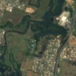





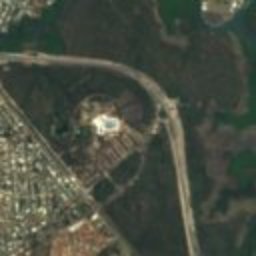

Satellite: Sentinel-2 cloudless 2016 by EOX IT Services GmbH · CC BY 4.0 · Contains modified Copernicus Sentinel data 2016

Photo: Gmcgarry · Public domain · Wikimedia Commons
Sandgate Post OfficeReport this photo · linked, not stored
Sandgate Post OfficeSandgate Post OfficeReport this photo · linked, not stored

Photo: Chris Olszewski · CC BY-SA 3.0 · Wikimedia Commons
Sandgate Baptist ChurchReport this photo · linked, not stored
Sandgate Baptist ChurchSandgate Baptist ChurchReport this photo · linked, not stored
historic siteNarangba, Queensland
Broadhurst
listed on the Queensland Heritage Register
Typehistoric site
Built–
Best monthsJun · Aug–Sepweather in Narangba
27.32° S, 153.07° EUTC+10 · Australian Eastern Standard Time
When to goNarangba · weather score
Best timeJun · Aug–Sep
October: high / low25° / 17°
iAbout
Broadhurst in brief
Broadhurst is a historic site in Narangba, Queensland, Australia.
It holds the designation listed on the Queensland Heritage Register.
For a visit, the weather in Narangba is best in June, August and September; in October afternoons average 25°.
Facts
- Type
- historic site
- Designation
- listed on the Queensland Heritage Register
- Nearest town
- Narangba
- Region
- Queensland
- Coordinates
- -27.31550, 153.07000
iiLocation
Where to find it
ivNearby
All monuments in AustraliaMore heritage close by
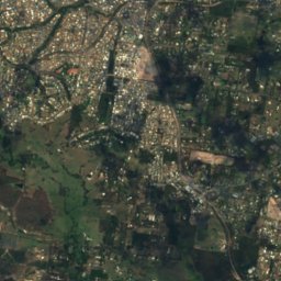
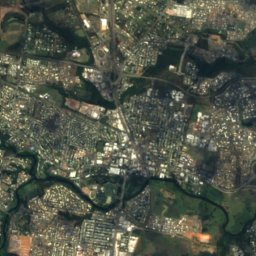
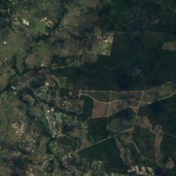
Satellite: Sentinel-2 cloudless 2016 by EOX IT Services GmbH · CC BY 4.0 · Contains modified Copernicus Sentinel data 2016
Sandgate Town Hall
0.6 km S
listed on the Queensland Heritage Register
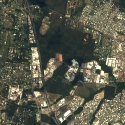
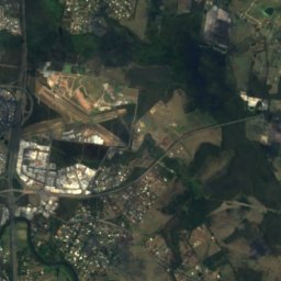
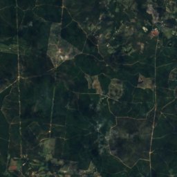
Satellite: Sentinel-2 cloudless 2016 by EOX IT Services GmbH · CC BY 4.0 · Contains modified Copernicus Sentinel data 2016
Sandgate War Memorial Park
0.6 km S
listed on the Queensland Heritage Register
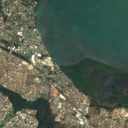
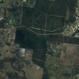
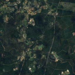
Satellite: Sentinel-2 cloudless 2016 by EOX IT Services GmbH · CC BY 4.0 · Contains modified Copernicus Sentinel data 2016
Drew Residence
1.7 km S
listed on the Queensland Heritage Register
Around here
Narangba and around

Nature

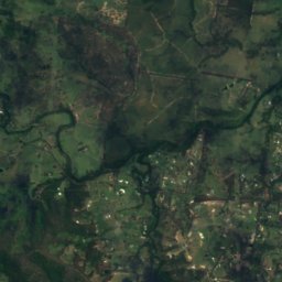
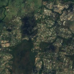
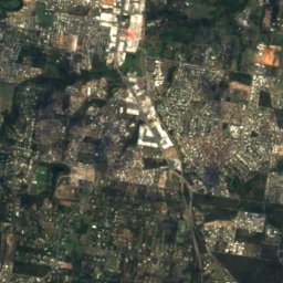
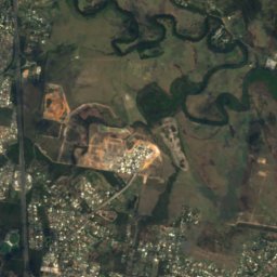
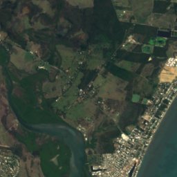
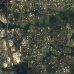
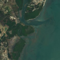
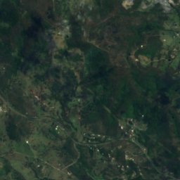
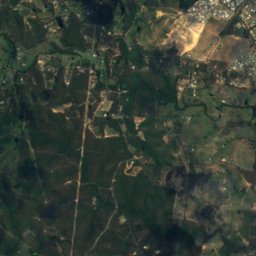
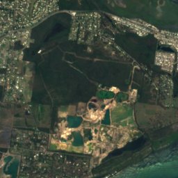
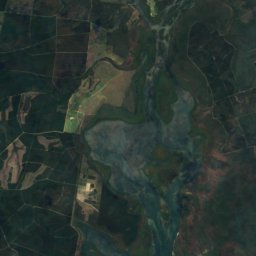
Satellite: Sentinel-2 cloudless 2016 by EOX IT Services GmbH · CC BY 4.0 · Contains modified Copernicus Sentinel data 2016
Freshwater National Park
National park · 23 m
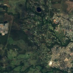

Satellite: Sentinel-2 cloudless 2016 by EOX IT Services GmbH · CC BY 4.0 · Contains modified Copernicus Sentinel data 2016
Caboolture River
River
Mountains

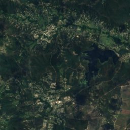
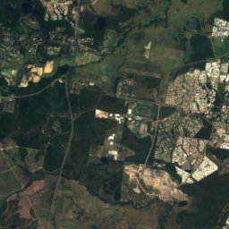
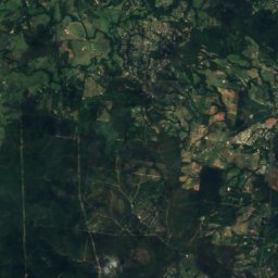
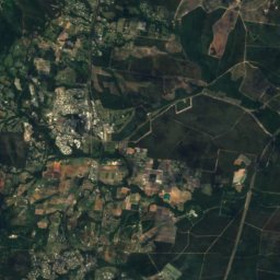
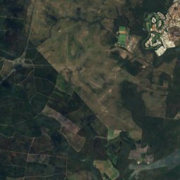
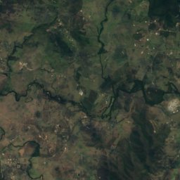
Satellite: Sentinel-2 cloudless 2016 by EOX IT Services GmbH · CC BY 4.0 · Contains modified Copernicus Sentinel data 2016
Mount Coonowrin
377 m · Glass House Mountains

Photo: Cyron Ray Macey from Brisbane (-27.470963,153.026505), Australia · CC BY 2.0 · Wikimedia CommonsReport this photo · linked, not stored
Mount Tibrogargan
363 m · Glass House Mountains
Heritage


Museums



Satellite: Sentinel-2 cloudless 2016 by EOX IT Services GmbH · CC BY 4.0 · Contains modified Copernicus Sentinel data 2016
Old Petrie Town
Open-air museum