
Photo: Moondyne · CC BY-SA 3.0 · Wikimedia Commons
Big PineappleReport this photo · linked, not stored
Big PineappleReport this photo · linked, not stored
big thing in AustraliaSunshine Coast, Queensland
Big Pineapple
listed on the Queensland Heritage RegisterBuilt 1971
Typebig thing in Australia
Built1971
Best monthsJun · Aug–Sepweather in Sunshine Coast
26.67° S, 152.99° EUTC+10 · Australian Eastern Standard Time
Standing for55 years
built 1971today 2026
When to goSunshine Coast · weather score
Best timeJun · Aug–Sep
October: high / low25° / 18°
iAbout
Big Pineapple in brief
Big Pineapple is a big thing in australia in Sunshine Coast, Queensland, Australia.
It holds the designation listed on the Queensland Heritage Register.
The big thing in australia dates from 1971.
For a visit, the weather in Sunshine Coast is best in June, August and September; in October afternoons average 25°.
Facts
- Type
- big thing in Australia
- Designation
- listed on the Queensland Heritage Register
- Built
- 1971
- Nearest town
- Sunshine Coast
- Region
- Queensland
- Coordinates
- -26.67270, 152.99100
iiLocation
Where to find it
ivNearby
All monuments in AustraliaMore heritage close by
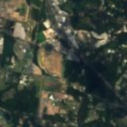
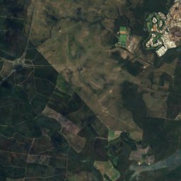
Satellite: Sentinel-2 cloudless 2016 by EOX IT Services GmbH · CC BY 4.0 · Contains modified Copernicus Sentinel data 2016
Palmwoods-Buderim Tramway
3.8 km SE
listed on the Queensland Heritage Register
Around here
Sunshine Coast and around

Nature


Mountains


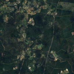
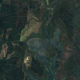
Satellite: Sentinel-2 cloudless 2016 by EOX IT Services GmbH · CC BY 4.0 · Contains modified Copernicus Sentinel data 2016
Mount Coonowrin
377 m · Glass House Mountains
Heritage
Satellite: Sentinel-2 cloudless 2016 by EOX IT Services GmbH · CC BY 4.0 · Contains modified Copernicus Sentinel data 2016
Buderim House
listed on the Queensland Heritage Register










Satellite: Sentinel-2 cloudless 2016 by EOX IT Services GmbH · CC BY 4.0 · Contains modified Copernicus Sentinel data 2016
Cotton Tree Caravan Park
listed on the Queensland Heritage Register


North Coast Roadside Rest Areas
listed on the Queensland Heritage Register