Skip to content
Destinations
Weather & climate
Nature
Outdoors
Culture
Events
Sky & live
Tanahat
Photo: Petar Milošević · CC BY-SA 4.0 · Wikimedia Commons
TanahatReport this photo · linked, not stored
Arkazi Surb Khach
Photo: Armineaghayan · CC BY-SA 4.0 · Wikimedia Commons
Arkazi Surb KhachReport this photo · linked, not stored
Arkazi Surb Khach
monasteryVernashen, Vayots Dzor

Tanahat

cultural heritage monument in ArmeniaBuilt 1201
TypemonasteryArmenian
Built1201
Best monthsJun · Aug–Sepweather in Vernashen
39.79° N, 45.40° EUTC+4 · Armenia Standard Time
Standing for825 years
built 1201today 2026
When to goVernashen · weather score
JanFebMarAprMayJunJulAugSepOctNovDec70October
Best timeJun · Aug–Sep
October: high / low16° / 6°
iAbout

Tanahat in brief

Tanahat is a monastery in Vernashen, Vayots Dzor, Armenia. Monastery.

It holds the designation cultural heritage monument in Armenia.

The monastery dates from 1201 and is built in the Armenian style.

For a visit, the weather in Vernashen is best in June, August and September; in October afternoons average 16°.

Vernashen: weather and travel guide

Facts

Type
monastery
Designation
cultural heritage monument in Armenia
Built
1201
Style
Armenian
Nearest town
Vernashen
Region
Vayots Dzor
Coordinates
39.78970, 45.40060
iiLocation

Where to find it

iiiWhen to visit

Weather in Vernashen

Climate guide

Month score for sightseeing

Best Jun · Aug–Sep
47
Jan
45
Feb
30
Mar
44
Apr
64
May
77
Jun
70
Jul
78
Aug
86
Sep
70
Oct
47
Nov
44
Dec
ivNearby

More heritage close by

All monuments in Armenia
Arkazi Surb Khach
Photo: Armineaghayan · CC BY-SA 4.0 · Wikimedia CommonsReport this photo · linked, not stored

Arkazi Surb Khach

3.2 km W
cultural heritage monument in Armenia
Arkazi Surb Khach
Around here

Vernashen and around
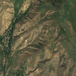
Vernashen
Photo: Moreau.henri · CC BY-SA 3.0 · Wikimedia CommonsReport this photo · linked, not stored

Vernashen

Vayots Dzor · Armenia
Jun · Aug–Sepbest months
27°July high
1,543 maltitude
Vernashen

Nature

Yeghegis
Photo: Ավետիսյան91 · CC BY-SA 4.0 · Wikimedia CommonsReport this photo · linked, not stored
7.7 km SW

Yeghegis

River · 1,066 m
Yeghegis
Malishka
Photo: GeoO · CC BY-SA 4.0 · Wikimedia CommonsReport this photo · linked, not stored
7.1 km S

Malishka

River · 1,133 m
Malishka
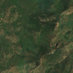
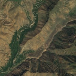
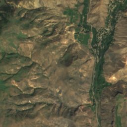
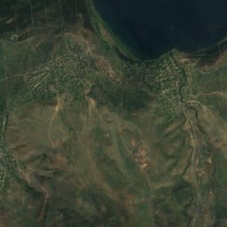
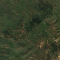
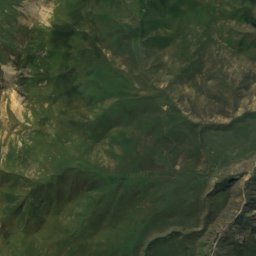
Satellite: Sentinel-2 cloudless 2016 by EOX IT Services GmbH · CC BY 4.0 · Contains modified Copernicus Sentinel data 2016
9.7 km NW

Selimaget

River · 1,248 m
Selimaget

Mountains
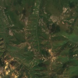
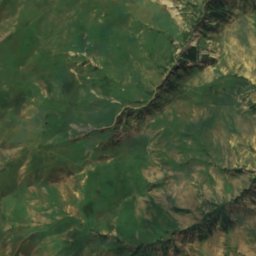
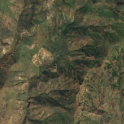
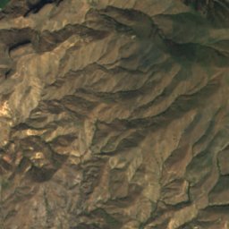
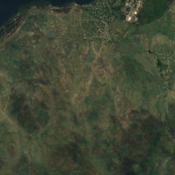
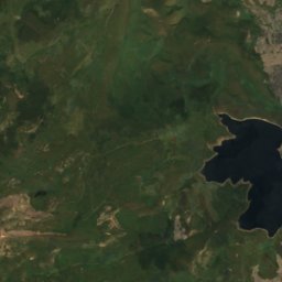
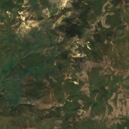
Satellite: Sentinel-2 cloudless 2016 by EOX IT Services GmbH · CC BY 4.0 · Contains modified Copernicus Sentinel data 2016
29 km NE

Vardenis Mountain

3,522 m · Lesser Caucasus
Vardenis Mountain
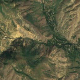
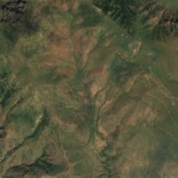
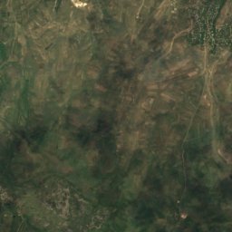
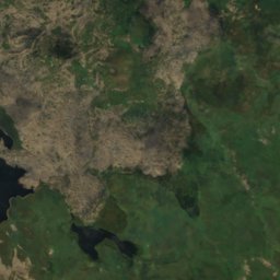
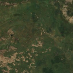
Satellite: Sentinel-2 cloudless 2016 by EOX IT Services GmbH · CC BY 4.0 · Contains modified Copernicus Sentinel data 2016
39 km E

Daranak

3,388 m · Zangezur Mountains
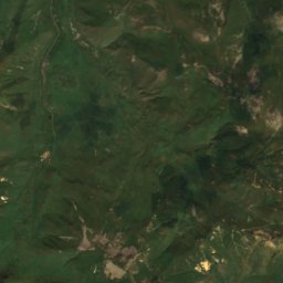
Daranak
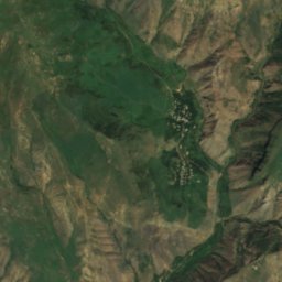
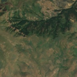
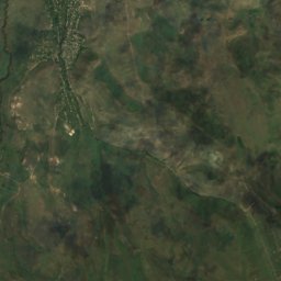
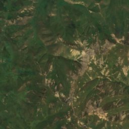
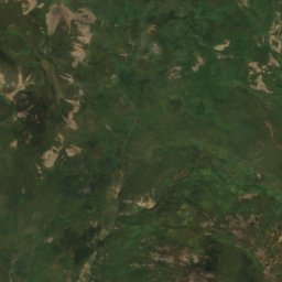
Satellite: Sentinel-2 cloudless 2016 by EOX IT Services GmbH · CC BY 4.0 · Contains modified Copernicus Sentinel data 2016
38 km E

Sarchali

3,387 m · Zangezur Mountains
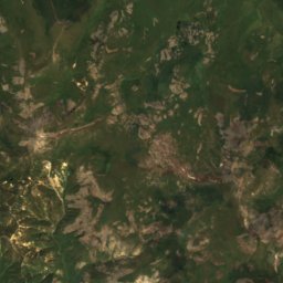
Sarchali

Heritage

Arkazi Surb Khach
Photo: Armineaghayan · CC BY-SA 4.0 · Wikimedia CommonsReport this photo · linked, not stored
under 100 m NW

Arkazi Surb Khach

cultural heritage monument in Armenia
Arkazi Surb Khach
Spitakavor Monastery
Photo: Soghomon Matevosyan · CC BY-SA 4.0 · Wikimedia CommonsReport this photo · linked, not stored
4.2 km N

Spitakavor Monastery

cultural heritage monument in Armenia · 1301
Spitakavor Monastery
Arates monastery
Photo: Z galstyan · CC BY-SA 3.0 · Wikimedia CommonsReport this photo · linked, not stored
14 km NE

Arates monastery

cultural heritage monument in Armenia · 1300
Arates monastery

Museums

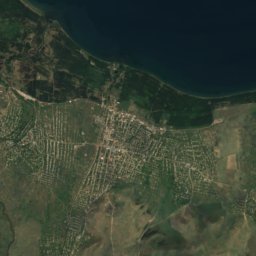
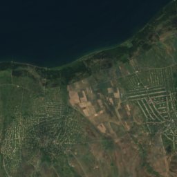
Satellite: Sentinel-2 cloudless 2016 by EOX IT Services GmbH · CC BY 4.0 · Contains modified Copernicus Sentinel data 2016
3.7 km SW

Եղեգնաձորի պատկերասրահ

Art museum · 1978
Եղեգնաձորի պատկերասրահ
Yeghegnadzor Regional Museum
Photo: Artavazd83 · CC BY-SA 4.0 · Wikimedia CommonsReport this photo · linked, not stored
4.1 km SW

Yeghegnadzor Regional Museum

1968
Yeghegnadzor Regional Museum