
Photo: Earth Science and Remote Sensing Unit, Lyndon B. Johnson Space Center · Public domain · Wikimedia Commons
Lake SevanReport this photo · linked, not stored
Lake SevanReport this photo · linked, not stored
lakeNoratus, Gegharkunik
Lake Sevan
Ramsar site
Typelake
Built–
Best monthsJul–Sepweather in Noratus
40.31° N, 45.35° EUTC+4 · Armenia Standard Time
When to goNoratus · weather score
Best timeJul–Sep
October: high / low12° / 5°
iAbout
Lake Sevan in brief
Lake Sevan is a lake in Noratus, Gegharkunik, Armenia.
It holds the designation Ramsar site.
For a visit, the weather in Noratus is best in July, August and September; in October afternoons average 12°.
Facts
- Type
- lake
- Designation
- Ramsar site
- Nearest town
- Noratus
- Region
- Gegharkunik
- Coordinates
- 40.31056, 45.34917
iiLocation
Where to find it
iiiWhen to visit
Climate guideWeather in Noratus
Month score for sightseeing
Best Jul–Sep46
Jan
45
Feb
36
Mar
26
Apr
36
May
67
Jun
80
Jul
86
Aug
81
Sep
47
Oct
44
Nov
46
Dec
Around here
Noratus and around

Photo: Liveon001 ©Travis Witt · CC BY-SA 3.0 · Wikimedia CommonsReport this photo · linked, not stored
Noratus
Gegharkunik · Armenia
Jul–Sepbest months
20°July high
1,926 maltitude
Nature
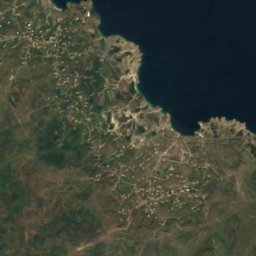
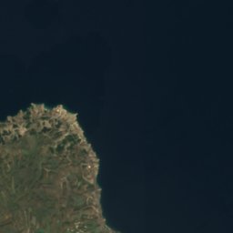



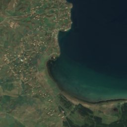
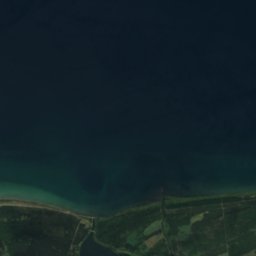
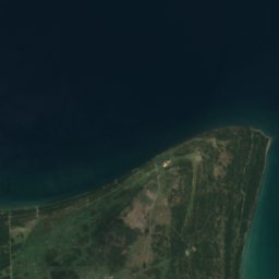

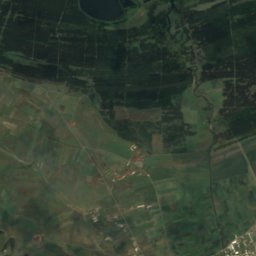
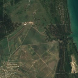
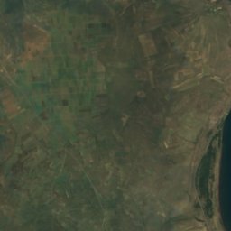
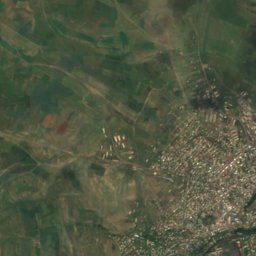
Satellite: Sentinel-2 cloudless 2016 by EOX IT Services GmbH · CC BY 4.0 · Contains modified Copernicus Sentinel data 2016
Gavaraget
River
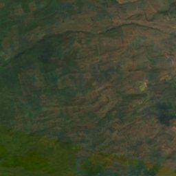
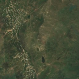
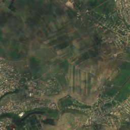
Satellite: Sentinel-2 cloudless 2016 by EOX IT Services GmbH · CC BY 4.0 · Contains modified Copernicus Sentinel data 2016
Gegharkunik
River
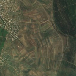
Mountains


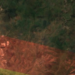
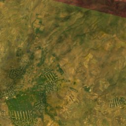
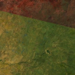
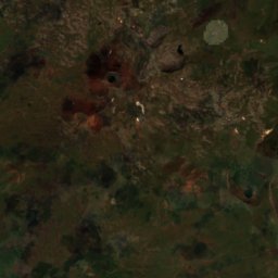
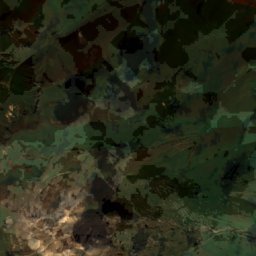
Satellite: Sentinel-2 cloudless 2016 by EOX IT Services GmbH · CC BY 4.0 · Contains modified Copernicus Sentinel data 2016
Western Aghusar
3,458 m · Aghasarq
Heritage

Holy Mother of God Church, Noratus
cultural heritage monument in Armenia · 900


Saint Gregory the Illuminator Church, Noratus
cultural heritage monument in Armenia
Museums


Satellite: Sentinel-2 cloudless 2016 by EOX IT Services GmbH · CC BY 4.0 · Contains modified Copernicus Sentinel data 2016
Gavar Art Gallery
Art museum · 1991