
Photo: Beko · CC BY-SA 4.0 · Wikimedia Commons
Haghartsin MonasteryReport this photo · linked, not stored
Haghartsin MonasteryReport this photo · linked, not stored
monasteryTeghut, Tavush
Haghartsin Monastery
cultural heritage monument in ArmeniaBuilt 1000
TypemonasteryArmenian
Built1000
Best monthsJul–Sepweather in Teghut
40.80° N, 44.89° EUTC+4 · Armenia Standard Time
Standing for1,026 years
built 1000today 2026
When to goTeghut · weather score
Best timeJul–Sep
October: high / low18° / 10°
iAbout
Haghartsin Monastery in brief
Haghartsin Monastery is a monastery in Teghut, Tavush, Armenia.
It holds the designation cultural heritage monument in Armenia.
The monastery dates from 1000 and is built in the Armenian style.
For a visit, the weather in Teghut is best in July, August and September; in October afternoons average 18°.
iiLocation
Where to find it
iiiWhen to visit
Climate guideWeather in Teghut
Month score for sightseeing
Best Jul–Sep45
Jan
44
Feb
37
Mar
54
Apr
62
May
69
Jun
80
Jul
83
Aug
84
Sep
77
Oct
49
Nov
46
Dec
Around here
Teghut and around

Nature


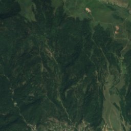
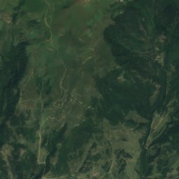
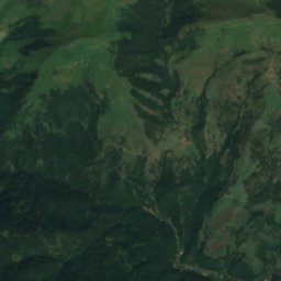
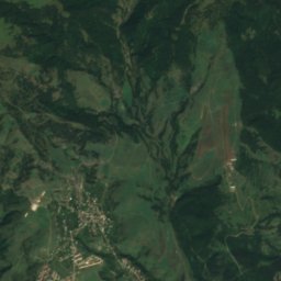
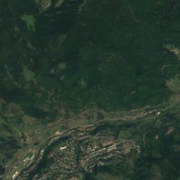
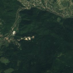
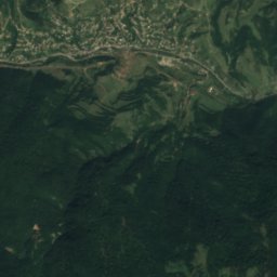
Satellite: Sentinel-2 cloudless 2016 by EOX IT Services GmbH · CC BY 4.0 · Contains modified Copernicus Sentinel data 2016
Haghartsin
River · 1,074 m
Mountains


Heritage

Photo: Photo: Marcin Konsek / Wikimedia Commons · CC BY-SA 4.0 · Wikimedia CommonsReport this photo · linked, not stored
Jukhtak Vank
cultural heritage monument in Armenia · 1201







Satellite: Sentinel-2 cloudless 2016 by EOX IT Services GmbH · CC BY 4.0 · Contains modified Copernicus Sentinel data 2016
Goshavank
cultural heritage monument in Armenia · 1201


Museums


The Geological Museum and Art Gallery of Dilijan
1950