


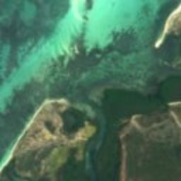




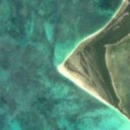
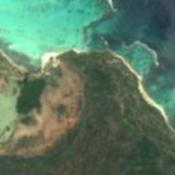










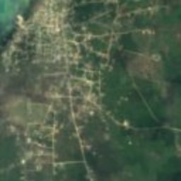




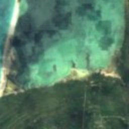
Satellite: Sentinel-2 cloudless 2016 by EOX IT Services GmbH · CC BY 4.0 · Contains modified Copernicus Sentinel data 2016
lagoonCodrington, Barbuda
Codrington Lagoon
Ramsar site
Typelagoon
Built–
Best monthsJan–Marweather in Codrington
17.65° N, 61.83° WUTC−4 · Atlantic Standard Time
When to goCodrington · weather score
Best timeJan–Mar
October: high / low28° / 26°
iAbout
Codrington Lagoon in brief
Codrington Lagoon is a lagoon in Codrington, Barbuda, Antigua and Barbuda.
It holds the designation Ramsar site.
For a visit, the weather in Codrington is best in January, February and March; in October afternoons average 28°.
Facts
- Type
- lagoon
- Designation
- Ramsar site
- Nearest town
- Codrington
- Region
- Barbuda
- Coordinates
- 17.65000, -61.83333
iiLocation
Where to find it
iiiWhen to visit
Climate guideWeather in Codrington
Month score for sightseeing
Best Jan–Mar81
Jan
90
Feb
95
Mar
77
Apr
72
May
68
Jun
64
Jul
56
Aug
52
Sep
54
Oct
64
Nov
81
Dec
Around here
Codrington and around

Photo: Image Science and Analysis Laboratory, NASA-Johnson Space Center. · Public domain · Wikimedia CommonsReport this photo · linked, not stored
Codrington
Barbuda · Antigua and Barbuda
Jan–Marbest months
28°July high
1 maltitude
Nature

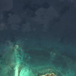
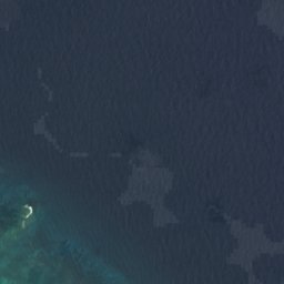



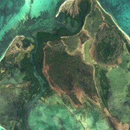
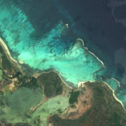

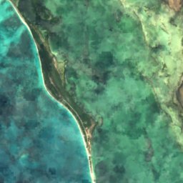
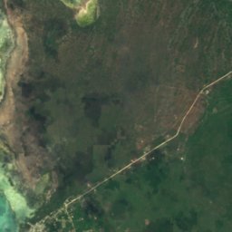
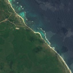
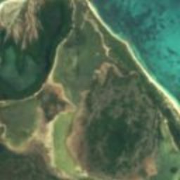
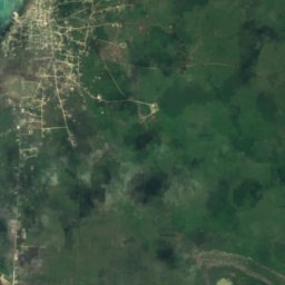
Satellite: Sentinel-2 cloudless 2016 by EOX IT Services GmbH · CC BY 4.0 · Contains modified Copernicus Sentinel data 2016
Cuffy Creek
Lake · 4 m
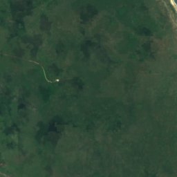
Satellite: Sentinel-2 cloudless 2016 by EOX IT Services GmbH · CC BY 4.0 · Contains modified Copernicus Sentinel data 2016
Goat Island Flush
Lake · 6 m


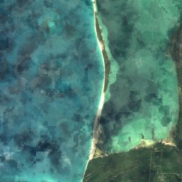
Mountains






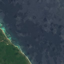



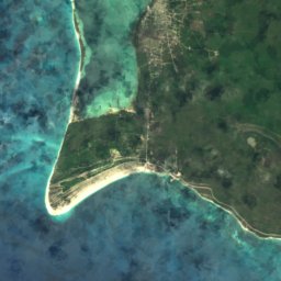
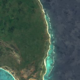


Satellite: Sentinel-2 cloudless 2016 by EOX IT Services GmbH · CC BY 4.0 · Contains modified Copernicus Sentinel data 2016
Gun Shop Cliff
27 m
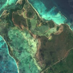
Satellite: Sentinel-2 cloudless 2016 by EOX IT Services GmbH · CC BY 4.0 · Contains modified Copernicus Sentinel data 2016
Pigeon Cliff
23 m
Satellite: Sentinel-2 cloudless 2016 by EOX IT Services GmbH · CC BY 4.0 · Contains modified Copernicus Sentinel data 2016
The Highlands
18 m