
archaeological siteTipasa, Tipaza
Tipasa
World Heritage SiteCultural heritage monuments in AlgeriaBuilt 600 BC
Typearchaeological site
Built600 BC
Best monthsJun–Jul · Octweather in Tipasa
36.59° N, 2.44° EUTC+1 · Central European Standard Time
Standing for2,626 years
built 600 BCtoday 2026
When to goTipasa · weather score
Best timeJun–Jul · Oct
October: high / low24° / 17°
iAbout
Tipasa in brief
Tipasa is an archaeological site in Tipasa, Tipaza, Algeria. World Heritage Site.
It holds the designations World Heritage Site and Cultural heritage monuments in Algeria.
The archaeological site dates from 600 bc.
For a visit, the weather in Tipasa is best in June, July and October; in October afternoons average 24°.
iiLocation
Where to find it
iiiWhen to visit
Climate guideWeather in Tipasa
Month score for sightseeing
Best Jun–Jul · Oct70
Jan
78
Feb
81
Mar
84
Apr
84
May
93
Jun
86
Jul
77
Aug
77
Sep
85
Oct
78
Nov
75
Dec
Around here
Tipasa and around

Nature




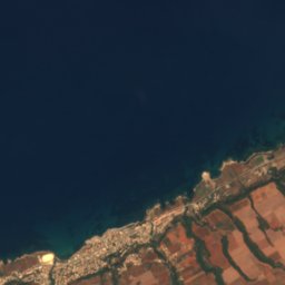
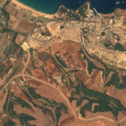
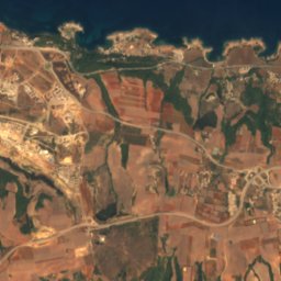
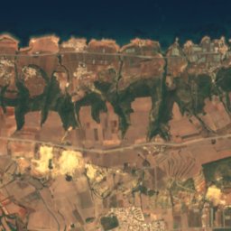
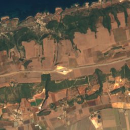
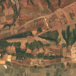
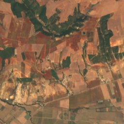
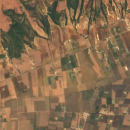
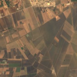
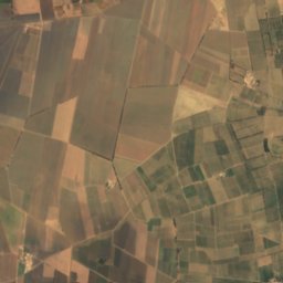
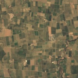
Satellite: Sentinel-2 cloudless 2016 by EOX IT Services GmbH · CC BY 4.0 · Contains modified Copernicus Sentinel data 2016
Ancien Lac Halloula
Lake · 48 m
Satellite: Sentinel-2 cloudless 2016 by EOX IT Services GmbH · CC BY 4.0 · Contains modified Copernicus Sentinel data 2016
Halloula lake
Lake







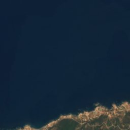
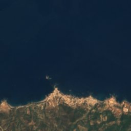
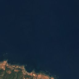
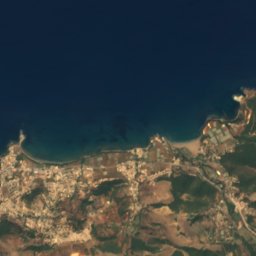
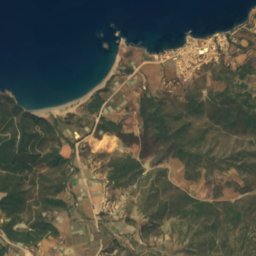
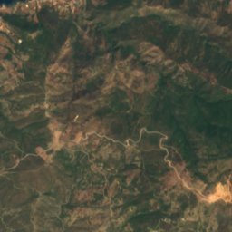
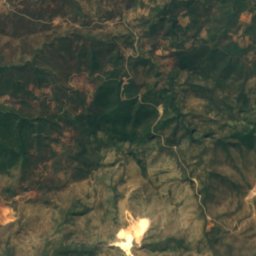
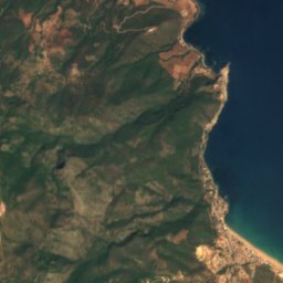
Satellite: Sentinel-2 cloudless 2016 by EOX IT Services GmbH · CC BY 4.0 · Contains modified Copernicus Sentinel data 2016
Kêf Bisnês
Island
Mountains


Heritage

Royal Mausoleum of Mauretania
part of UNESCO World Heritage Site


