




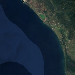
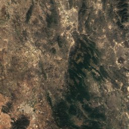


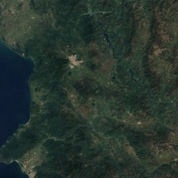
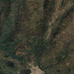
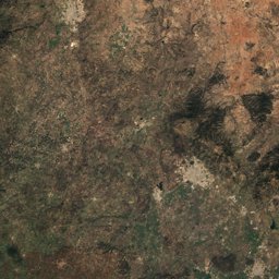
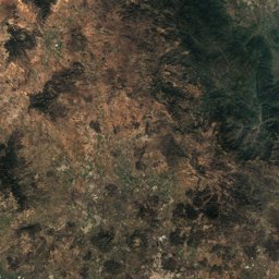
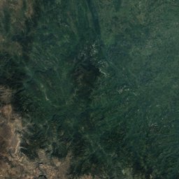
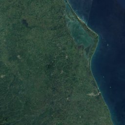


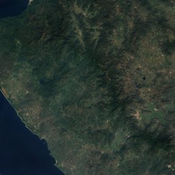
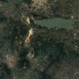
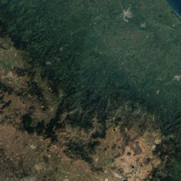


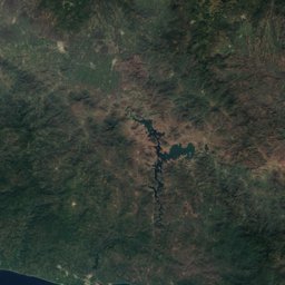
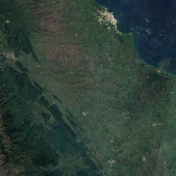



Satellite: Sentinel-2 cloudless 2016 by EOX IT Services GmbH · CC BY 4.0 · Contains modified Copernicus Sentinel data 2016
EarthquakesTemascalcingo
Earthquakes near Temascalcingo
M5+ · Since 19505≤ 150 km
Last 30 days0≤ 300 km
StrongestM5.31979
19.92° N, 100.00° WElevation 2,400 mUTC−6 · Central Standard Time
When to goTemascalcingo · weather score
Best timeJan–Feb · Dec
October: high / low21° / 9°
Since 1950, 5 earthquakes of magnitude 5 or more have struck within 150 km of Temascalcingo; the strongest was M5.3, 22 February 1979. In the last 30 days 0 earthquakes were recorded within 300 km. 36 significant earthquakes on record hit the area.
Last 30 days · ≤ 300 km
None in this period.
M5+ · Since 1950 · ≤ 150 km
| 5.3 | 29 km | 22 February 1979 |
| 5.1 | 114 km | 4 October 1976 |
| 5.1 | 114 km | 31 May 1976 |
| 5.0 | 23 km | 28 February 1979 |
| 5.0 | 124 km | 25 March 1976 |
Significant earthquakes on record · ≤ 300 km
| 2017 | 220 km | M7.1 | 369 deaths |
| 2014 | 298 km | M7.2 | Tsunami |
| 2011 | 230 km | M6.4 | 2 deaths |
| 2007 | 291 km | M6 | |
| 1999 | 240 km | M6.3 | |
| 1985 | 292 km | M7.6 | Tsunami |
| 1980 | 265 km | M6.4 | 300 deaths |
| 1979 | 269 km | M7.6 | 5 deathsTsunami |
| 1976 | 288 km | M6.4 | |
| 1964 | 208 km | M7.3 | 78 deaths |
| 1938 | 198 km | – | |
| 1934 | 113 km | M4.8 | |
| 1933 | 295 km | M6.7 | Tsunami |
| 1928 | 257 km | M6.2 | |
| 1912 | 41 km | M6.7 | 202 deaths |
| 1912 | 11 km | M7 | |
| 1908 | 238 km | M8.1 | |
| 1902 | 257 km | M7 | 2 deaths |
| 1889 | 246 km | – | |
| 1889 | 163 km | – | |
| 1887 | 246 km | – | |
| 1874 | 264 km | M7.3 | |
| 1868 | 159 km | – | |
| 1868 | 152 km | – | |
| 1866 | 233 km | – | |
| 1864 | 269 km | M7 | 20 deaths |
| 1858 | 105 km | M7.5 | |
| 1854 | 24 km | – | |
| 1837 | 103 km | M7 | Tsunami |
| 1800 | 124 km | – | |
| 1759 | 245 km | – | |
| 1727 | 124 km | – | |
| 1667 | 244 km | – | |
| 1611 | 105 km | – | |
| 1542 | 124 km | – | |
| 1538 | 124 km | – |