




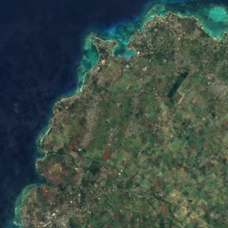
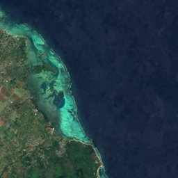






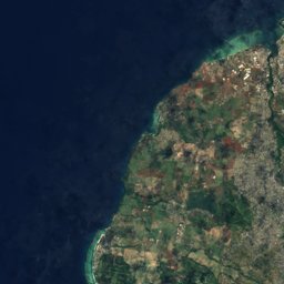
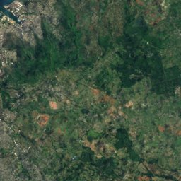
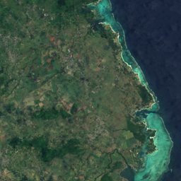





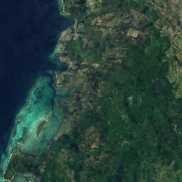
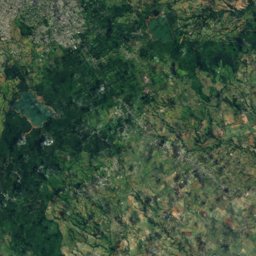
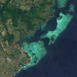






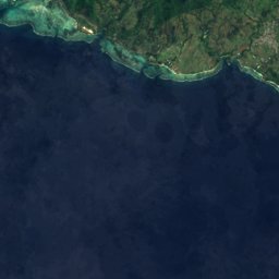
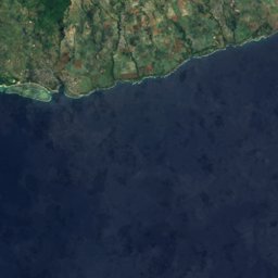




















Satellite: Sentinel-2 cloudless 2016 by EOX IT Services GmbH · CC BY 4.0 · Contains modified Copernicus Sentinel data 2016
Outdoor activitiesChemin Grenier
Outdoors near Chemin Grenier
within 15 km20places
Viewpoints16
Golf courses4
20.49° S, 57.47° EElevation 133 mUTC+4 · Mauritius Standard Time
When to goChemin Grenier · weather score
Best timeAug–Oct
October: high / low24° / 21°
Viewpoints
| Name | Nearby | Details |
|---|---|---|
| Machabée Viewpoint | 11.5 km | 583 m |
| View of valley and 4 waterfalls | 10.6 km | |
| Viewpoint Chamarel | 11.7 km | |
| Sublim Point | 12.1 km | |
| Ilot aux Sancho | 2.5 km | |
| Alexandra Falls | 6.7 km | |
| la roches de bois | 7.6 km | |
| La Roche qui Pleure | 7.8 km | |
| Gorges Viewpoint | 8.8 km | |
| Viewpoint Chamarel | 9.2 km | |
| Maconde | 10.2 km | |
| Chamarel Waterfalls Viewpoint | 10.4 km |
Golf courses
| Name | Nearby | Details |
|---|---|---|
| AVALON Golf Course | 7.6 km | |
| Heritage Golf Course | 6 km | |
| La Reserve golf club | 4.4 km | |
| Avalon Golf Estate | 7.8 km |
Diving
- Diving19.8 km
Places come from an open map made by volunteers: well-known sites are there, small or new ones may be missing. Opening times and prices change, so check before you go.