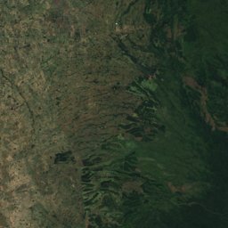
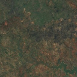
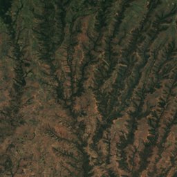
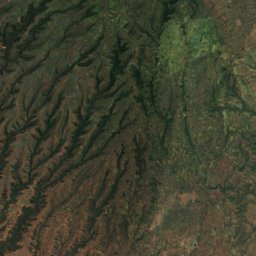
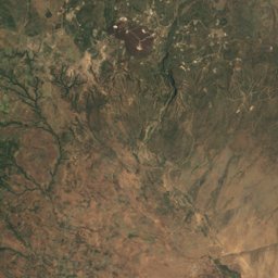
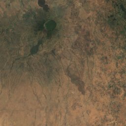
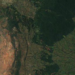
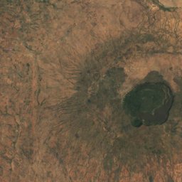
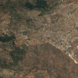
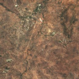
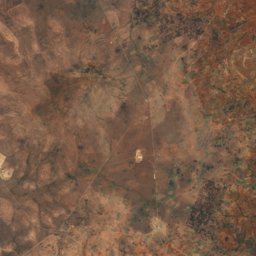
Satellite: Sentinel-2 cloudless 2016 by EOX IT Services GmbH · CC BY 4.0 · Contains modified Copernicus Sentinel data 2016
Outdoor activitiesNgong
Outdoors near Ngong
within 15 km28places
Camp sites11
Viewpoints7
1.35° S, 36.67° EElevation 1,924 mUTC+3 · East Africa Time
When to goNgong · weather score
Best timeJan–Feb · Sep
October: high / low24° / 13°
Camp sites
| Name | Nearby | Details |
|---|---|---|
| Rowallan Scout Camp | 11.8 km | |
| Jungle Junction | 7.9 km | |
| Indaba Campsite | 10.6 km | |
| Ngong Sports | 3 km | |
| Oloolua Nature Trail Camping site | 5 km | |
| Entalata Sidai Campsite | 9.7 km | |
| Wildebeest Eco Camp | 9.9 km | |
| Ngong camp junction | 10.6 km | |
| Rimpa Estates Campsite | 11.1 km | |
| Ngong | 11.8 km | |
| PEC Nature Campsite | 13.8 km |
Viewpoints
| Name | Nearby | Details |
|---|---|---|
| Impala observation point | 13.8 km | 1,729 m |
| ngong_top | 5.4 km | |
| Ngong viewpoint | 9.2 km | |
| Solomon's Viewpoint | 9.5 km | |
| Viewpoint (Entalata Sidai Campsite) | 9.7 km | |
| Corner baridi | 12.4 km | |
| ngong_south | 12.7 km |
Golf courses
Golf courses in Kajiado County
Zoos
| Name | Nearby | Details |
|---|---|---|
| Giraffe Centre | 8.7 km | Website |
| Nairobi Safari Walk | 12.1 km | |
| Animal Orphanage | 12.5 km | |
| David Sheldrick Elephant Orphanage | 11.9 km | |
| Mamba Village | 9.2 km |
Places come from an open map made by volunteers: well-known sites are there, small or new ones may be missing. Opening times and prices change, so check before you go.