



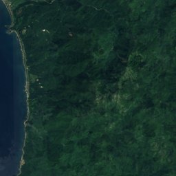
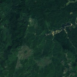
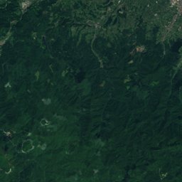
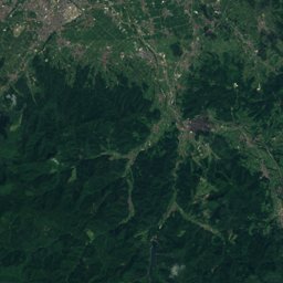
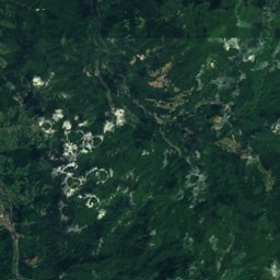




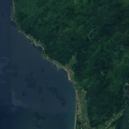
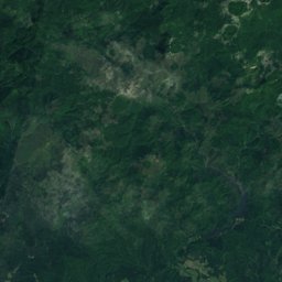
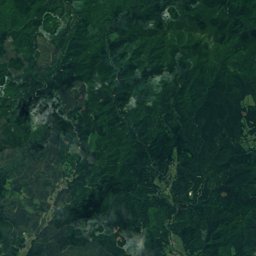
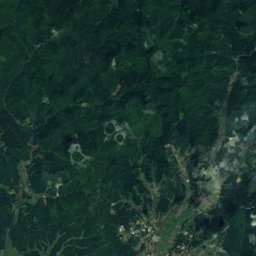
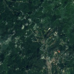




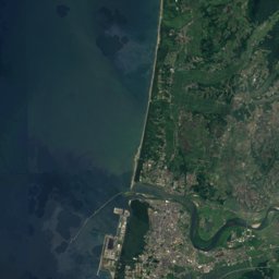
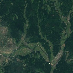
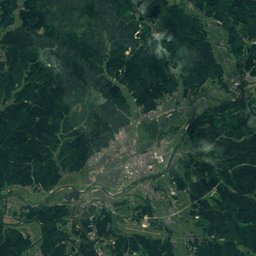
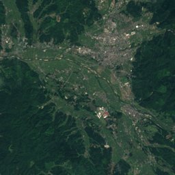
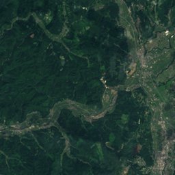




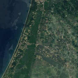
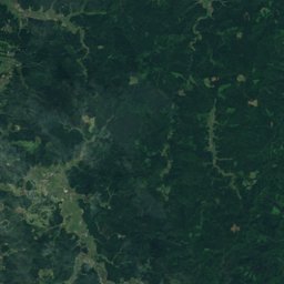
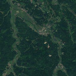
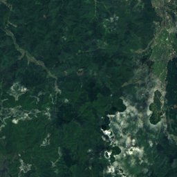


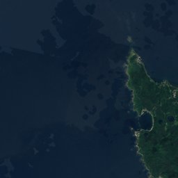
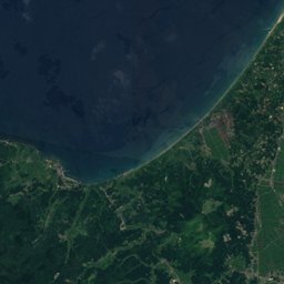
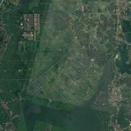
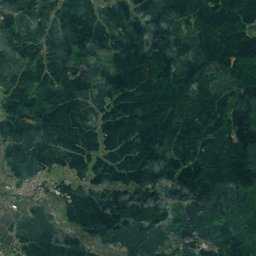
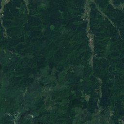
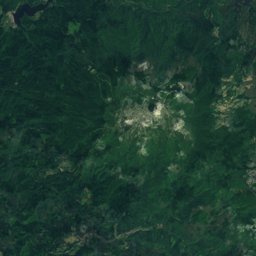
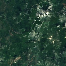



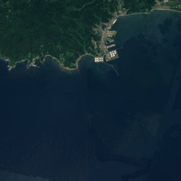
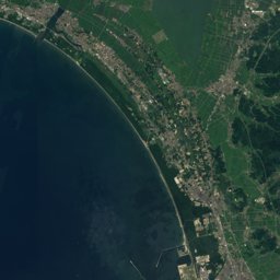
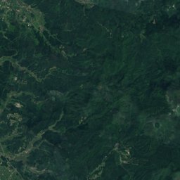
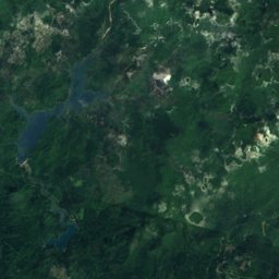
Satellite: Sentinel-2 cloudless 2016 by EOX IT Services GmbH · CC BY 4.0 · Contains modified Copernicus Sentinel data 2016
Outdoor activitiesMoritake
Outdoors near Moritake
within 15 km7places
Camp sites3
Viewpoints2
40.10° N, 140.08° EElevation 5 mUTC+9 · Japan Standard Time
When to goMoritake · weather score
Best timeJun–Jul · Sep
October: high / low17° / 11°
Camp sites
| Name | Nearby | Details |
|---|---|---|
| サンサンパークコテージ村 | 13.9 km | |
| 石倉山キャンプ場 | 0.6 km | |
| 南の池記念公園キャンプ場 | 14.9 km |
Viewpoints
| Name | Nearby | Details |
|---|---|---|
| はまなす展望台 | 14.2 km | |
| 菜の花ロード | 14.7 km |
Golf courses
| Name | Nearby | Details |
|---|---|---|
| 秋田森岳温泉36ゴルフ場 | 4.3 km | |
| 三種町マレットゴルフ広場 | 7.2 km |
Places come from an open map made by volunteers: well-known sites are there, small or new ones may be missing. Opening times and prices change, so check before you go.