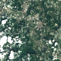
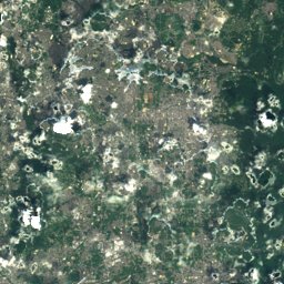
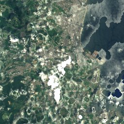
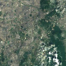
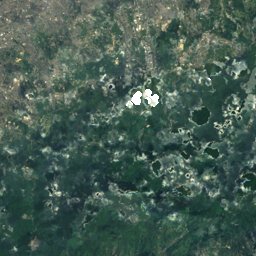
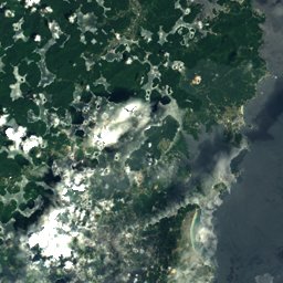
Satellite: Sentinel-2 cloudless 2016 by EOX IT Services GmbH · CC BY 4.0 · Contains modified Copernicus Sentinel data 2016
Outdoor activitiesMitsue
Outdoors near Mitsue
within 15 km31places
Camp sites23
Golf courses4
34.51° N, 136.20° EElevation 468 mUTC+9 · Japan Standard Time
When to goMitsue · weather score
Best timeMay · Sep–Oct
October: high / low19° / 11°
Camp sites
| Name | Nearby | Details |
|---|---|---|
| Mitsue Youth Travel Village Campsite | 5 km | Website |
| Kotaroiwa Camping Ground | 7 km | Website |
| 垰~TAWA~キャンプ場 | 4.7 km | Website |
| TOPOS | 5.9 km | Website |
| Sun Village Soni | 7.3 km | Website |
| 美杉パークゴルフクラブ・キャンプスペース | 9.6 km | Website |
| 赤眼四十八滝キャンプ場 | 13 km | Website |
| 青山ハーモニー・フォレスト | 13.7 km | Website |
| わかすぎの里キャンプ場 | 14.5 km | Website |
| おおぼら山荘 | 2 km | |
| トレーラーキャンプ「pot」 | 4.8 km | |
| みつえ青少年旅行村 オートサイト【Aゾーン】caravans & motorhomes | 4.9 km |
Golf courses
| Name | Nearby | Details |
|---|---|---|
| Nabari Country Club | 14.9 km | |
| 名張サウスCC | 9.5 km | |
| ザ・サードプレースゴルフ俱楽部 | 14.3 km | |
| 桔梗が丘1ゴルフコース | 13.1 km |
Mountain huts
| Name | Nearby | Details |
|---|---|---|
| 一ノ井市民センターunstaffed shelter | 14.9 km |
Viewpoints
| Name | Nearby | Details |
|---|---|---|
| 月出の中央構造線 | 8.3 km |
Aquariums
| Name | Nearby | Details |
|---|---|---|
| 赤目滝水族館 | 12.1 km |
Water parks
| Name | Nearby | Details |
|---|---|---|
| ウォーターパーク | 8.1 km |
Ski areas
Places come from an open map made by volunteers: well-known sites are there, small or new ones may be missing. Opening times and prices change, so check before you go.