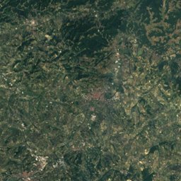
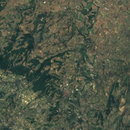
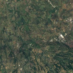
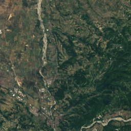
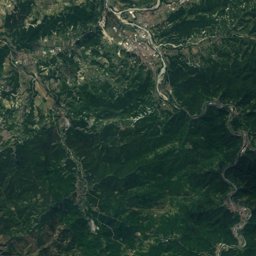
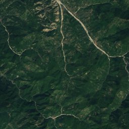
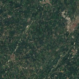
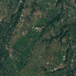
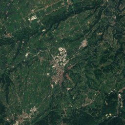
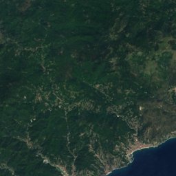
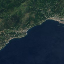
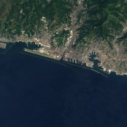
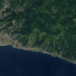
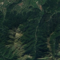
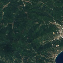
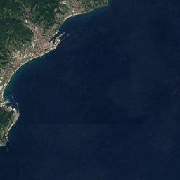



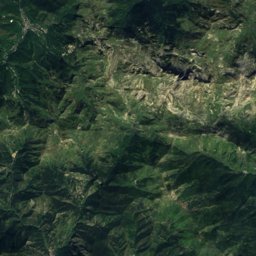
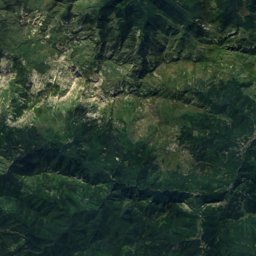
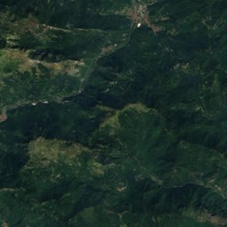
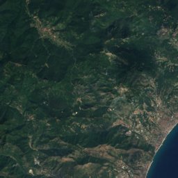
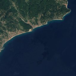




Satellite: Sentinel-2 cloudless 2016 by EOX IT Services GmbH · CC BY 4.0 · Contains modified Copernicus Sentinel data 2016
Outdoor activitiesPontinvrea
Outdoors near Pontinvrea
within 15 km57places
Climbing31
Camp sites10
44.44° N, 8.44° EElevation 425 mUTC+2 · Central European Summer Time
When to goPontinvrea · weather score
Best timeJun–Jul · Sep
October: high / low17° / 10°
Climbing
| Name | Nearby | Details |
|---|---|---|
| Gioiacrag | 9.4 km | Website |
| Rocche dei Nespolicrag | 14.5 km | |
| Pilastrino delle Coccinelle (già Pitulin dl'Oca)crag | 13.6 km | 605 m |
| Antro dei Druidicrag | 9.3 km | |
| Diritto a nientecrag | 9.3 km | |
| Arancia Meccanicacrag | 9.3 km | |
| Tai Lungcrag | 9.3 km | |
| Cavalcata delle Vankiriecrag | 9.3 km | |
| Drudi Bassocrag | 9.4 km | |
| Dimora degli Elficrag | 9.6 km | |
| Terra di Mezzocrag | 9.8 km | |
| Occhi di Gioiacrag | 9.8 km |
Camp sites
| Name | Nearby | Details |
|---|---|---|
| Vallescura | 12.7 km | Website |
| Camping Gameragna | 10.8 km | Website |
| Parco per le vacanze Anita | 14.2 km | Website |
| Campeggio Naturista Costalunga | 9.4 km | Website |
| Dolce Vita | 8.6 km | Website |
| Tenuta Squaneto | 8.8 km | Website |
| Area camper Gainocaravans & motorhomes | 11.4 km | |
| Campeggio Columbus | 14.2 km | |
| Area Sosta Camper Pontinvreacaravans & motorhomes | 0.3 km | |
| Parcheggio camper Via Nattacaravans & motorhomes | 14.1 km |
Mountain huts
| Name | Nearby | Details |
|---|---|---|
| Rifugio Pratorotondostaffed | 12.1 km | 1,108 m · Website |
| Rifugio Cascina Mierastaffed | 7.1 km | 767 m · Website |
| Cadifugiostaffed | 12.8 km | Website |
| Rifugio Scivernastaffed | 7.5 km | Website |
| Rifugio Gorellounstaffed shelter | 12.6 km | 647 m |
| Rifugio Forestale Cascina Tioleunstaffed shelter | 14 km | |
| Rifugio Casa Ressiaunstaffed shelter | 5.4 km | |
| Rifugio Forestale Viazziunstaffed shelter | 12.3 km |
Viewpoints
| Name | Nearby | Details |
|---|---|---|
| Rocca dell'Adelasia | 8.2 km | 697 m |
| Rocche del Manuà | 8.9 km | |
| Frana della vergogna | 10.1 km | |
| Rocca di Mazarot | 11 km | |
| Cappelletta degli Alpini | 12.9 km | |
| Buco del Prete | 14.2 km |
Surf spots
| Name | Nearby | Details |
|---|---|---|
| Seccasurf | 14.6 km |
Waves, next days
| Sat 24 | Sun 25 | Mon 26 | Tue 27 | Wed 28 | |
|---|---|---|---|---|---|
| Secca | 4.2 m13 s · west | 4 m13 s · west | 2.8 m11 s · west | 2.5 m8 s · east | 2.4 m9 s · west |
Highest wave of each day in open water near the spot (significant height and period), from a global wave model; the break itself can differ.
Golf courses
| Name | Nearby | Details |
|---|---|---|
| Golf Club Albisola | 12 km | Website |
Diving
- Presepe degli Abissi di Albisola14.1 km
Places come from an open map made by volunteers: well-known sites are there, small or new ones may be missing. Opening times and prices change, so check before you go.