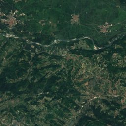
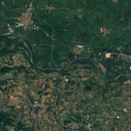
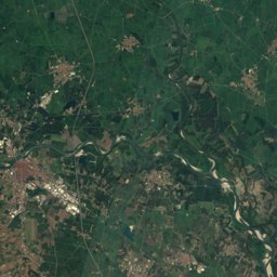
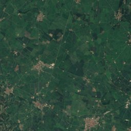
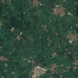
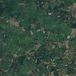
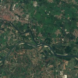
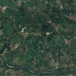
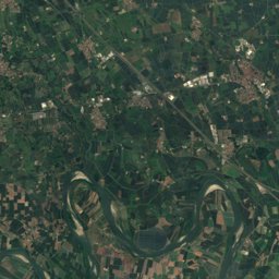
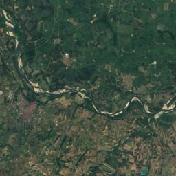
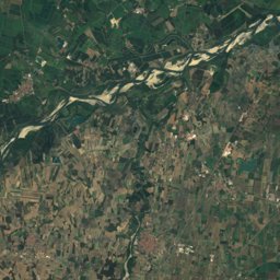
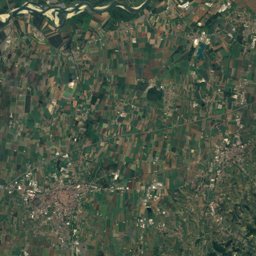
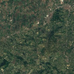
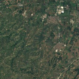
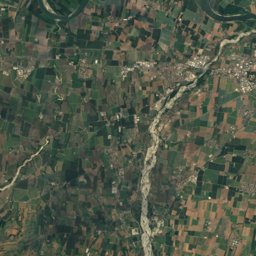
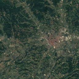
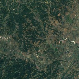
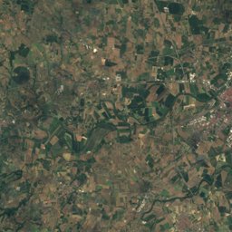
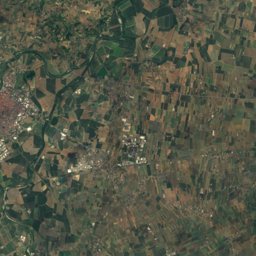
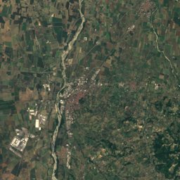
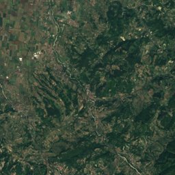
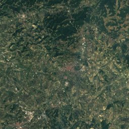
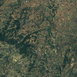
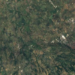
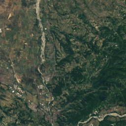
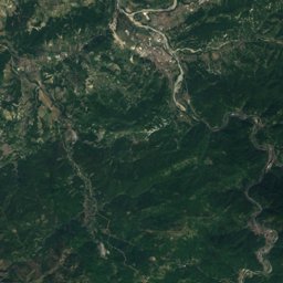
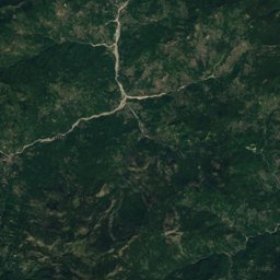
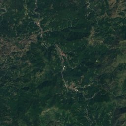
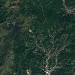
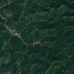
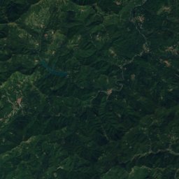
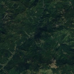
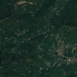
Satellite: Sentinel-2 cloudless 2016 by EOX IT Services GmbH · CC BY 4.0 · Contains modified Copernicus Sentinel data 2016
Outdoor activitiesDernice
Outdoors near Dernice
within 15 km21places
Mountain huts11
Camp sites4
44.77° N, 9.05° EElevation 600 mUTC+1 · Central European Standard Time
When to goDernice · weather score
Best timeApr · Jun · Sep
October: high / low18° / 8°
Mountain huts
| Name | Nearby | Details |
|---|---|---|
| Rifugio Monte Chiappostaffed | 14.9 km | 1,699 m · Website |
| Rifugio Ezio Orsistaffed | 11.9 km | 1,397 m · Website |
| Rifugio Piani di San Lorenzostaffed | 6.5 km | |
| Rifugio Laguioneunstaffed shelter | 13.1 km | 1,520 m |
| Rifugio Pian della Moraunstaffed shelter | 12.9 km | 1,350 m |
| Bivacco Pian della Ciappaunstaffed shelter | 13.9 km | 1,080 m |
| Bivacco di Cignolounstaffed shelter | 13.4 km | 886 m |
| Casa degli Alpini "Domus Alpinorum"staffed | 6 km | |
| Bivacco Alda e Carla Marchesottistaffed | 5.1 km | |
| La Capanna del Cesareunstaffed shelter | 12.7 km | |
| Capanno Forestaleunstaffed shelter | 13.3 km |
Camp sites
Viewpoints
| Name | Nearby | Details |
|---|---|---|
| Pratone dei Milanesi | 13.7 km | 1,372 m |
| Belvedere panoramico | 8.9 km |
Climbing
| Name | Nearby | Details |
|---|---|---|
| Balze di Guardamonteclimbing gym | 6.5 km | |
| Falesia di Guardamonteclimbing gym | 7.2 km |
Golf courses
| Name | Nearby | Details |
|---|---|---|
| Golf Valcurone | 7.4 km | Website |
Theme parks
| Name | Nearby | Details |
|---|---|---|
| Parco Castello | 14.7 km |
Places come from an open map made by volunteers: well-known sites are there, small or new ones may be missing. Opening times and prices change, so check before you go.