Skip to content
Destinations
Weather & climate
Nature
Outdoors
Culture
Events
Sky & live
Nahala
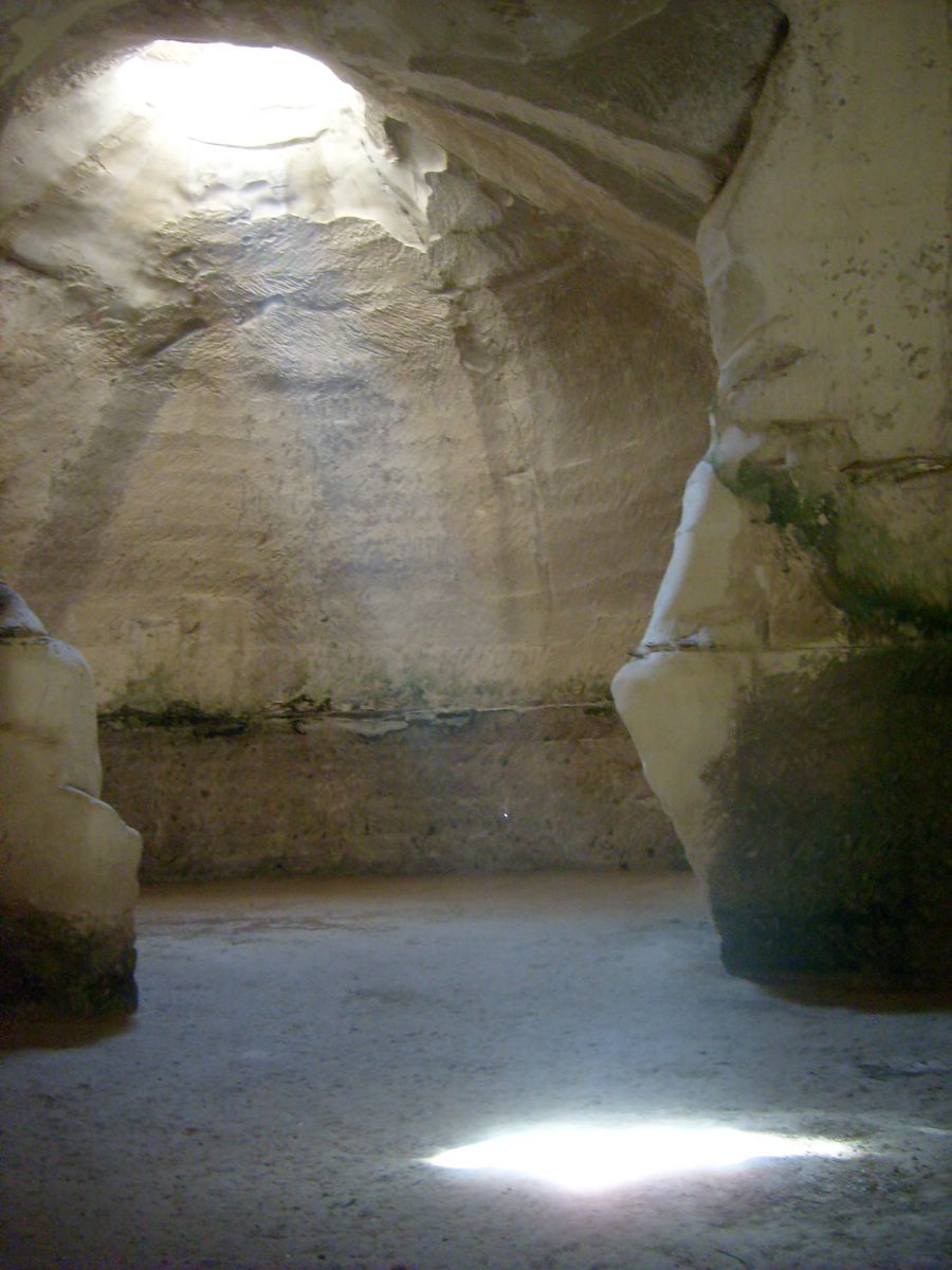
Beit Guvrin National Park
Bnei Ayish
Bnei Ayish
The Arcs bridge over Lachish stream
Turkish Railway Bridge Over Ela River
Southern District, Israel

Nahala

Nahala is a village in Southern District, Israel. It has a population of about 588 (2015). The climate is classified as hot-summer Mediterranean (Köppen Csa), with dry, sunny summers and mild, wetter winters.

Now26°C
Best timeMar–Apr · Nov
Population588
Local time17:51
31.66° N, 34.79° EElevation 126 mUTC+3 · Israel Daylight Time
The year in Nahalaweather score
JanFebMarAprMayJunJulAugSepOctNovDec74October
October: high / low29° / 18°
Rain this month18mm
Best timeMar–Apr · Nov

Best: Mar–Apr · Nov. Warmth, sunshine and dry days, month by month.

Nahala at a glance

Best time to visitMar–Apr · Nov

The months with the highest weather score

Warmest month33°C

Average high in August

Coolest month8°C

Average low in January

Wettest monthJanuary

124 mm of rain

Driest monthJune

1 mm of rain

Monuments nearby5+

1 of them World Heritage

Weather in Nahala

Now and the next ten days. The 14 and 30-day outlooks are one click away.

14-day forecast
26°C

Partly cloudy · wind 12 km/h · humidity 70%

Today hour by hour
Today22 Oct32°17°
Fri23 Oct34°16°
Sat24 Oct32°18°
Sun25 Oct30°18°
Mon26 Oct29°17°
Tue27 Oct32°17°
Wed28 Oct29°20°
Thu29 Oct27°17°1.5 mm
Fri30 Oct25°16°8.8 mm
Sat31 Oct25°15°0.5 mm

When to go to Nahala

Each month's weather score (warmth, sun, dry days) with its temperatures and rain.

Climate month by month
JanFebMarAprMayJunJulAugSepOctNovDec
Score747987918376696772748579
High18°19°21°25°29°31°32°33°32°29°25°20°
Low8°9°11°13°16°19°22°22°21°18°14°10°
Rain (mm)124103551431112186191
Wet days1196310000369

What's on in Nahala

Concerts, football matches, the public holidays ahead and the town's festivals through the year.

Monuments and museums in Nahala

All monuments

Outdoors around Nahala

Hiking routes from the town, and what there is to do within 15 km: huts, viewpoints, climbing, camping, ski areas and dive sites.

Things to do
Hava FarmZoos
0.4 km
Mesua CampgroundCamp sites
1 km
Masua lookoutViewpoints · 364 m
1.6 km
Tel GodedViewpoints · 398 m
2.7 km
חניון לילה תל לכישCamp sites
5.6 km

Nature around Nahala

Nature in Israel

Wildlife in October

The birds and mammals of Israel seen most this month, compared with the rest of their year.

The sky over Nahala

Eclipses and meteor showers

Earthquakes around Nahala

The last 30 days within 300 km, and the record since 1950.

Earthquakes

Strongest nearby since 1950

5.9Bat Yam 128 km ←1951 · 149 km
5.7Ein Gedi 12 km ↗1956 · 67 km
5.3Al 'Arid 16 km ↖2004 · 72 km
5.3Rekhasim 1 km ↙1984 · 123 km

Fossil sites near this town

Fossil sites: 41 · 4 km

Fossils in Israel
Triassic · 34Permian · 7

Formations around the town

Nahala from above

Getting to Nahala

Ben Gurion International AirportTLV
40 km
El Arish International AirportAAC
114 km
Queen Alia International AirportAMM
114 km
קריית גתRailway station
6.4 km
קריית מלאכי - יואבRailway station
10 km
תחנת הרכבת אשדוד – עד הלום – מטרופולRailway station
18 km
נמל אשדודFerry port
23 km
אולם הנוסעים נמל אשדודFerry port
23 km

Places near Nahala

Places with a climate like Nahala

Matched month by month on temperature, rain and sunshine.

Frequently asked questions

When is the best time to visit Nahala?
Based on 30-year climate normals, March, April and November offer the best balance of comfortable temperatures, low rainfall and sunshine in Nahala.
What is the hottest month in Nahala?
August is the warmest month, with average highs of 33°C and lows of 22°C.
What is the coldest month in Nahala?
January is the coldest month, with average highs of 18°C and lows of 8°C.
What is the rainiest month in Nahala?
January is the wettest month with about 124 mm of precipitation on 11 wet days.