



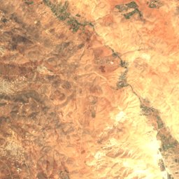




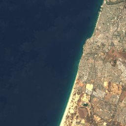
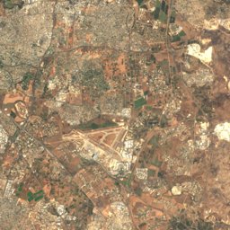
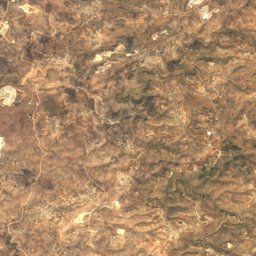
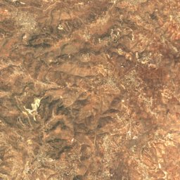
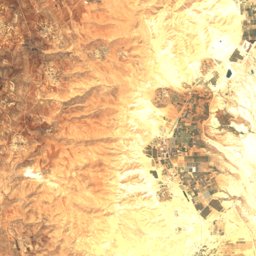




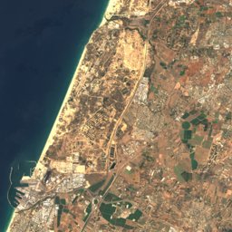
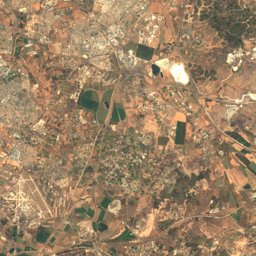
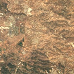
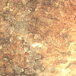
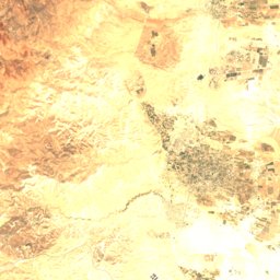



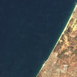
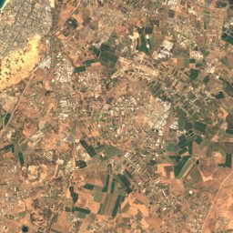
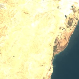


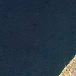
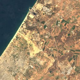
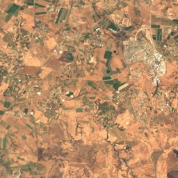
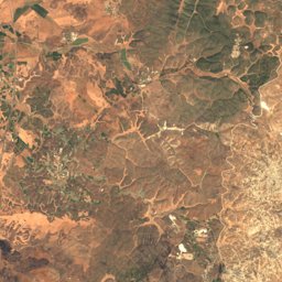
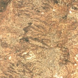

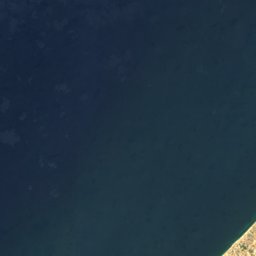
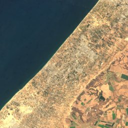
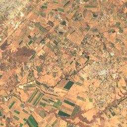
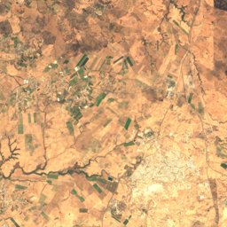
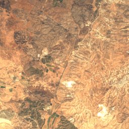
Satellite: Sentinel-2 cloudless 2016 by EOX IT Services GmbH · CC BY 4.0 · Contains modified Copernicus Sentinel data 2016
Outdoor activitiesKannot
Outdoors near Kannot
within 15 km32places
Viewpoints27
Camp sites3
31.80° N, 34.75° EElevation 74 mUTC+3 · Israel Daylight Time
When to goKannot · weather score
Best timeMar–May
October: high / low29° / 18°
Viewpoints
| Name | Nearby | Details |
|---|---|---|
| Tel Shalaf | 10.1 km | 45 m · Website |
| Tel Tsafit | 14.4 km | 221 m |
| Yohai Lookout | 12.4 km | |
| Tel Malot (Gibton) | 12.3 km | 86 m |
| Givat HaIrisim | 14.6 km | 39 m |
| Moshko Rom Lookout in the Shafir Valley | 13.9 km | 76 m · Website |
| מצפה אלון | 11.4 km | Website |
| The David Karon Memorial | 12.7 km | 165 m |
| Tel Ekron Viewpoint | 9.6 km | 101 m |
| Nahal Guvrin Bend lookout | 12.1 km | 70 m |
| Givat Ha'T'aynim (The Figs Hill) | 13.8 km | 64 m |
| Gibton Viewing Tower | 12.1 km |
Viewpoints in Southern District
Camp sites
| Name | Nearby | Details |
|---|---|---|
| חניון לילה האקליפטוסים | 14.1 km | Website |
| Unofficial Overnight Campground | 14.5 km | |
| החוף הצפוני אשדודbackcountry | 10.3 km |
Camp sites in Southern District
Climbing
| Name | Nearby | Details |
|---|---|---|
| Urban Climbing - Bouldering gymclimbing gym | 13 km | Website |
Zoos
| Name | Nearby | Details |
|---|---|---|
| Hava Farm | 4.9 km |
Places come from an open map made by volunteers: well-known sites are there, small or new ones may be missing. Opening times and prices change, so check before you go.