








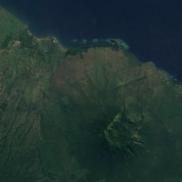
















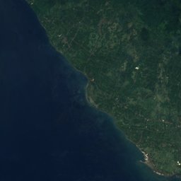
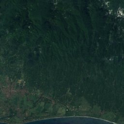
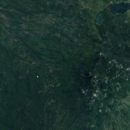
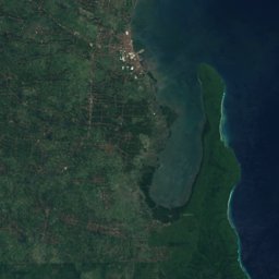


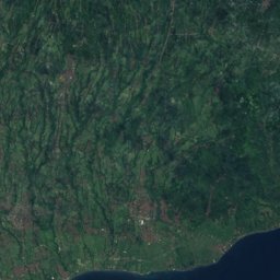
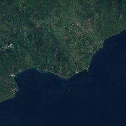

Satellite: Sentinel-2 cloudless 2016 by EOX IT Services GmbH · CC BY 4.0 · Contains modified Copernicus Sentinel data 2016
Outdoor activitiesGitgit
Outdoors near Gitgit
within 15 km36places
Viewpoints22
Camp sites9
8.19° S, 115.14° EElevation 561 mUTC+8 · Central Indonesia Time
When to goGitgit · weather score
Best timeJul–Sep
October: high / low29° / 22°
Viewpoints
| Name | Nearby | Details |
|---|---|---|
| Gunung Tapak | 9.1 km | 1,909 m |
| Lake View | 9.5 km | |
| Super view 10.000₽ | 10.7 km | |
| Warung At 320m | 7.9 km | |
| GitGit Upper Point | 1.7 km | |
| Aling-Aling Waterfall Viewpoint | 3.6 km | |
| Waterfall | 3.6 km | |
| Rice Terrace | 5.2 km | |
| Upper Point Waterfall | 5.2 km | |
| View only area | 5.2 km | |
| Telah Dip | 5.4 km | |
| Twin Lake | 7.5 km |
Camp sites
| Name | Nearby | Details |
|---|---|---|
| Popitan Garden Campground & Glamping Bedugul | 9.7 km | |
| Wanagiri Camp | 5.3 km | |
| Buyan | 7.1 km | |
| Sunnas Pathaya Caming | 7.8 km | |
| Cok Camp | 9.5 km | |
| Campsite place | 9.5 km | |
| Donk losog bedugul | 9.8 km | |
| campingplus tabanan | 9.9 km | |
| Kmping | 10.6 km |
Mountain huts
| Name | Nearby | Details |
|---|---|---|
| ekommunitystaffed | 9.9 km | Website |
| Shelterunstaffed shelter | 12.5 km | |
| ECO Bedugul adventurer campstaffed | 9.9 km |
Golf courses
| Name | Nearby | Details |
|---|---|---|
| Handara Golf & Resort Bali | 7.1 km | Website |
Theme parks
| Name | Nearby | Details |
|---|---|---|
| The Blooms Garden | 12.9 km |
Diving
- Orca Diveclub Lovina10.7 km
- Grand Permai Dive12.2 km
- Diving12.5 km
Places come from an open map made by volunteers: well-known sites are there, small or new ones may be missing. Opening times and prices change, so check before you go.