








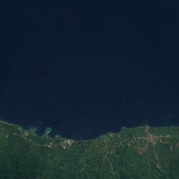
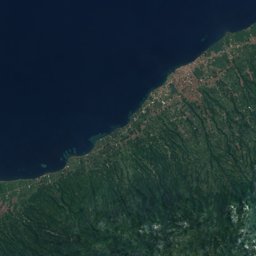
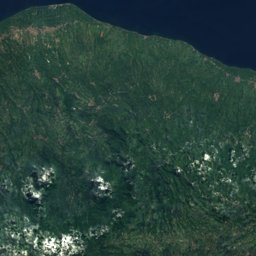
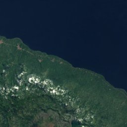





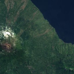


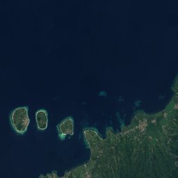
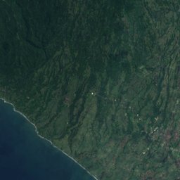
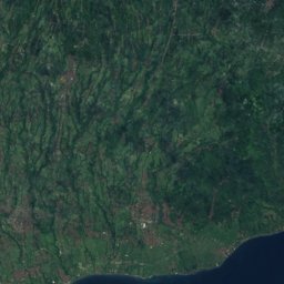
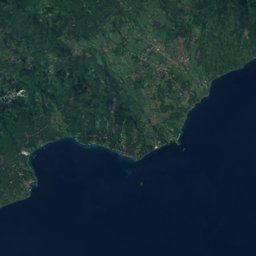


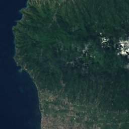

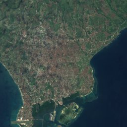
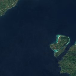
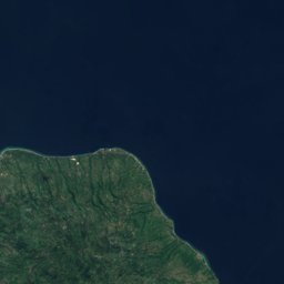

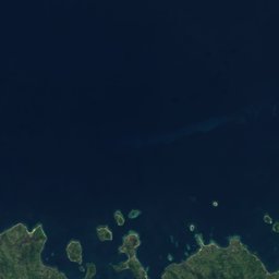
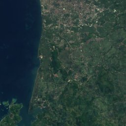



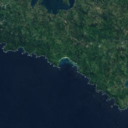
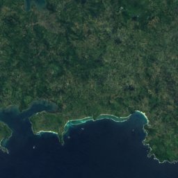
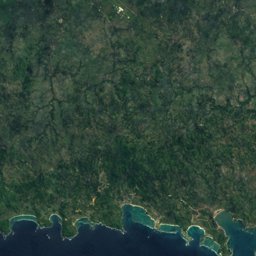
Satellite: Sentinel-2 cloudless 2016 by EOX IT Services GmbH · CC BY 4.0 · Contains modified Copernicus Sentinel data 2016
Outdoor activitiesBugbug
Outdoors near Bugbug
within 15 km16places
Viewpoints12
Camp sites3
8.50° S, 115.59° EElevation 39 mUTC+8 · Central Indonesia Time
When to goBugbug · weather score
Best timeJul–Sep
October: high / low28° / 25°
Viewpoints
| Name | Nearby | Details |
|---|---|---|
| Point of view | 2.9 km | |
| Paragliding Launching Zone | 2.2 km | |
| Bukit Cinta | 8.1 km | |
| Sunrise Point | 9.1 km | |
| Outdoor terrace | 9.4 km | |
| Secret beach sunrise | 9.9 km | |
| holiday house | 11.1 km | |
| Beautiful view at 5-6 p.m. | 11.1 km | |
| Nice ocean lookout area with statue | 13.3 km | |
| Aging view | 14 km | |
| Agung best view | 14.3 km | |
| Lahangan Sweet | 14.9 km |
Camp sites
| Name | Nearby | Details |
|---|---|---|
| Camping | 2.6 km | Website |
| Free camping spot | 12.4 km | |
| Camping with electricity and light. Based on donation | 15 km |
Climbing
| Name | Nearby | Details |
|---|---|---|
| Panjat tebingcrag | 6.1 km |
Diving
- Gili Mimpang3.5 km
- Gili Tepekong North3.8 km
- Gili Tepekong South3.9 km
- Diving9 km
Places come from an open map made by volunteers: well-known sites are there, small or new ones may be missing. Opening times and prices change, so check before you go.