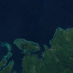
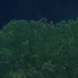
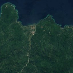
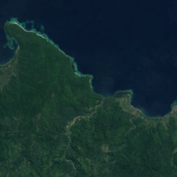



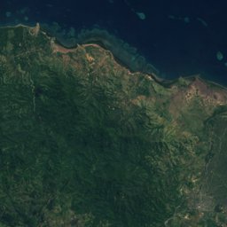
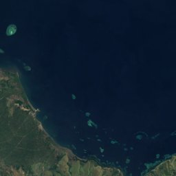
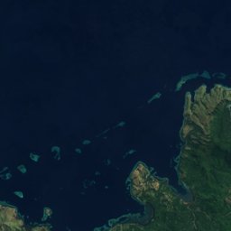
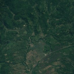
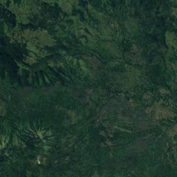
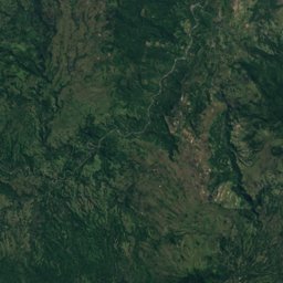
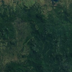
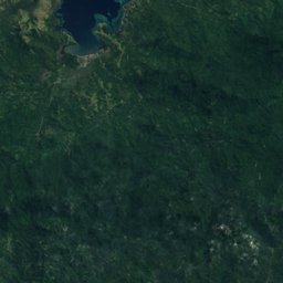
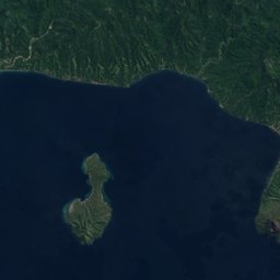

















Satellite: Sentinel-2 cloudless 2016 by EOX IT Services GmbH · CC BY 4.0 · Contains modified Copernicus Sentinel data 2016
Outdoor activitiesBajawa
Outdoors near Bajawa
within 15 km12places
Viewpoints9
Camp sites2
8.78° S, 120.97° EElevation 1,206 mUTC+8 · Central Indonesia Time
When to goBajawa · weather score
Best timeJul–Sep
October: high / low26° / 17°
Viewpoints
| Name | Nearby | Details |
|---|---|---|
| Wawo Muda Lakes viewpoint | 5.3 km | |
| Wolo Bobo Viewpoint | 5.5 km | |
| Wolo Bobo Sunset Viewpoint | 5.7 km | |
| Bukit Avatar | 7 km | |
| Inerie viewpoint | 7.3 km | |
| Nice Picnic spot | 10.2 km | |
| Traditional village Tololela | 12.2 km | |
| Road to Tololela goes up here, follow concrete road for 10min until you reach the village | 12.5 km | |
| Gurusina Traditional Village | 12.5 km |
Viewpoints in East Nusa Tenggara
Camp sites
| Name | Nearby | Details |
|---|---|---|
| Manulalu bed & breakfast | 9.1 km | Website |
| Camping Ground Wolo Bobo | 5.9 km |
Hot springs & thermal baths
| Name | Nearby | Details |
|---|---|---|
| Malanage Hot Springs Entrancenatural spring | 11.5 km |
Places come from an open map made by volunteers: well-known sites are there, small or new ones may be missing. Opening times and prices change, so check before you go.