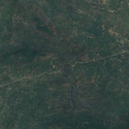
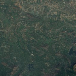
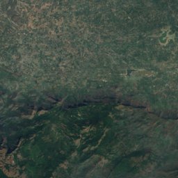
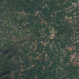
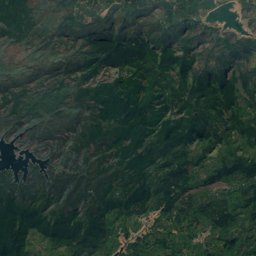
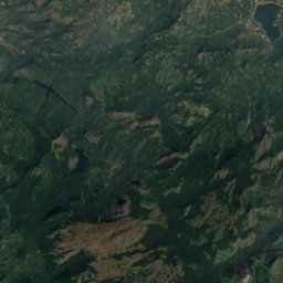
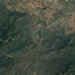
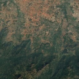
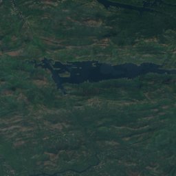
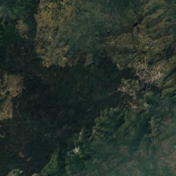
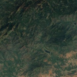
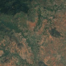
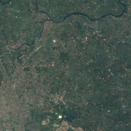
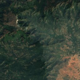
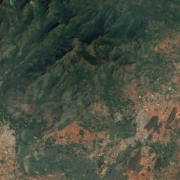
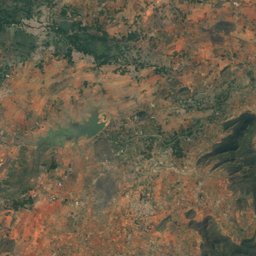
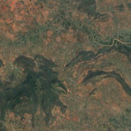
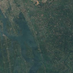
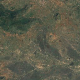
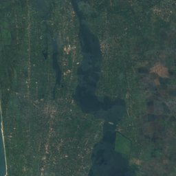
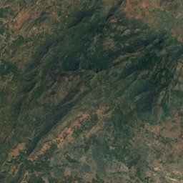
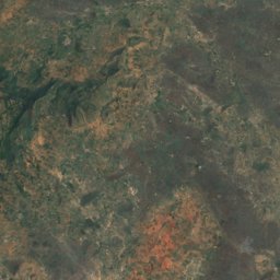
Satellite: Sentinel-2 cloudless 2016 by EOX IT Services GmbH · CC BY 4.0 · Contains modified Copernicus Sentinel data 2016
Outdoor activitiesDevikulam
Outdoors near Devikulam
within 15 km23places
Viewpoints18
Camp sites5
10.06° N, 77.11° EElevation 1,594 mUTC+5:30 · India Standard Time
When to goDevikulam · weather score
Best timeJan–Mar
October: high / low21° / 14°
Viewpoints
| Name | Nearby | Details |
|---|---|---|
| Tea paddies | 3.7 km | |
| Circular Tea Plantations | 1.3 km | |
| Photo Point | 2.8 km | |
| The cross | 3.4 km | |
| Tea | 3.5 km | |
| Tea paddies panorama | 3.6 km | |
| Photo Point | 3.7 km | |
| Sunset Deck | 4.8 km | |
| Pothamedu | 4.8 km | |
| Hill Top View Point | 7.1 km | |
| Sunset point | 7.9 km | |
| Green Valley View | 8.9 km |
Camp sites
| Name | Nearby | Details |
|---|---|---|
| Tent Polo | 12.6 km | Website |
| Rhonda Valley | 9.6 km | |
| Koodaram Camping | 5.1 km | |
| Munnar IWA HERE | 12.6 km | |
| Cloud Farm Munnar | 12.6 km |
Places come from an open map made by volunteers: well-known sites are there, small or new ones may be missing. Opening times and prices change, so check before you go.