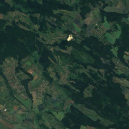
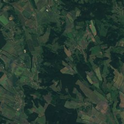
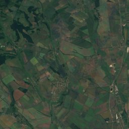
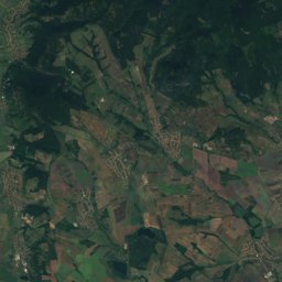
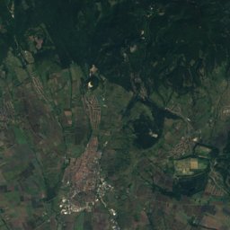
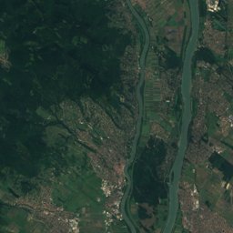
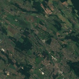
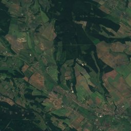
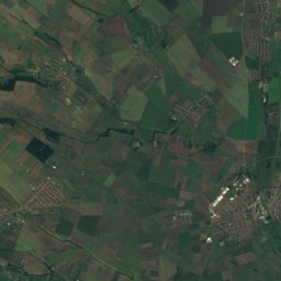
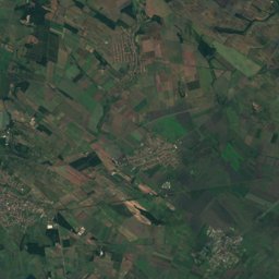
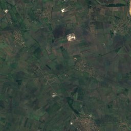
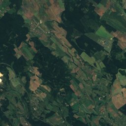
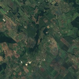
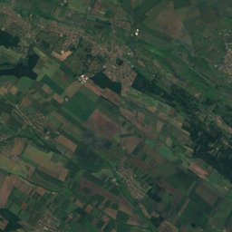
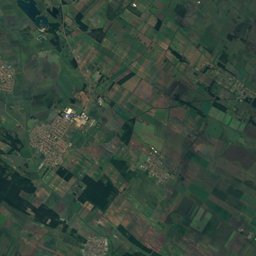
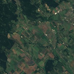
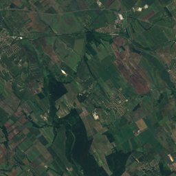
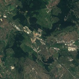
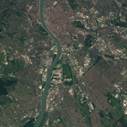
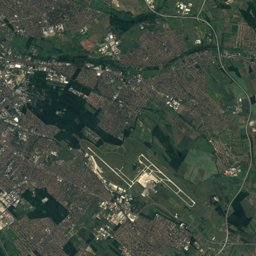
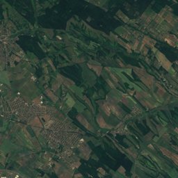
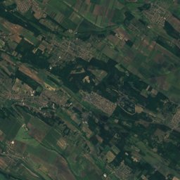
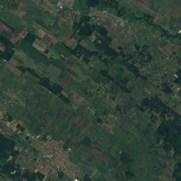
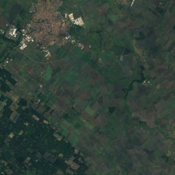
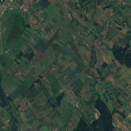
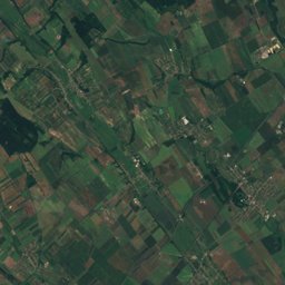
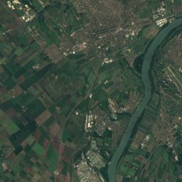
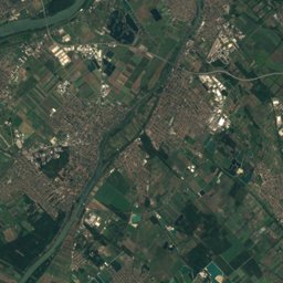
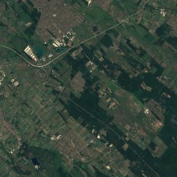
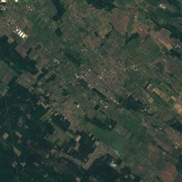
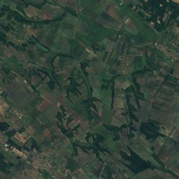
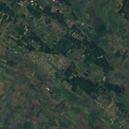
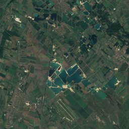
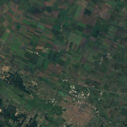
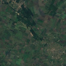
Satellite: Sentinel-2 cloudless 2016 by EOX IT Services GmbH · CC BY 4.0 · Contains modified Copernicus Sentinel data 2016
Outdoor activitiesPécel
Outdoors near Pécel
within 15 km25places
Viewpoints16
Camp sites5
47.49° N, 19.34° EElevation 160 mUTC+2 · Central European Summer Time
When to goPécel · weather score
Best timeApr · Sep–Oct
October: high / low17° / 7°
Viewpoints
| Name | Nearby | Details |
|---|---|---|
| Merzse mocsár, madármegfigyelő kilátótorony | 6.7 km | 130 m · Website |
| Spotter Hill | 8.6 km | Website |
| Ó-hegy | 11.8 km | 214 m · Website |
| Alpesi legelő kilátóhely | 10 km | 193 m · Website |
| Naplás-tavi kilátó | 7.6 km | 175 m · Website |
| Kertvárosi kilátó | 13.5 km | 165 m · Website |
| Naplás | 7.6 km | 150 m · Website |
| Szent László kilátó és kápolna | 13 km | 326 m |
| Péceli Trianon emlékhely | 2.5 km | 270 m |
| Pécel szeme kilátás | 3 km | 266 m |
| Kilátóterasz | 8.6 km | |
| Szár-hegy oldal | 11.2 km |
Camp sites
Zoos
Climbing
| Name | Nearby | Details |
|---|---|---|
| MAG47climbing gym | 13.9 km | Website |
Water parks
| Name | Nearby | Details |
|---|---|---|
| Aquaréna | 13.1 km | Website |
Places come from an open map made by volunteers: well-known sites are there, small or new ones may be missing. Opening times and prices change, so check before you go.