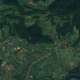
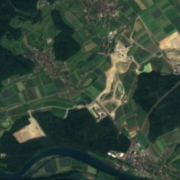
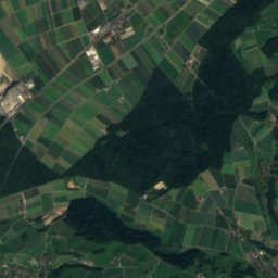
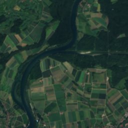
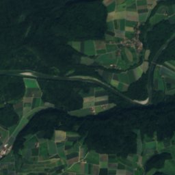
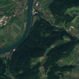
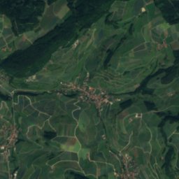
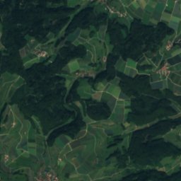
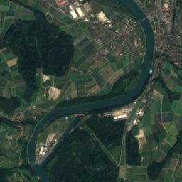
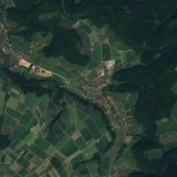
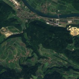
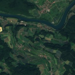
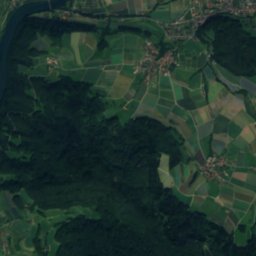
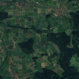
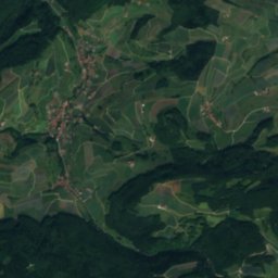
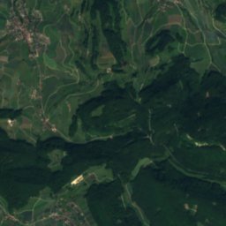
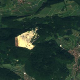
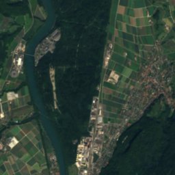
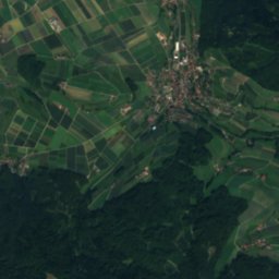
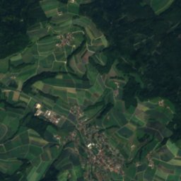
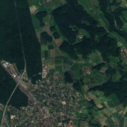
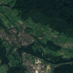
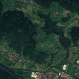
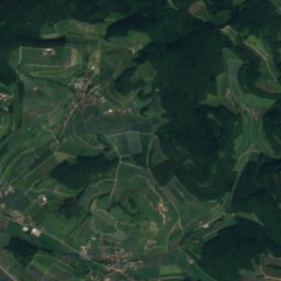
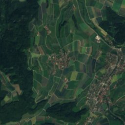
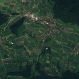
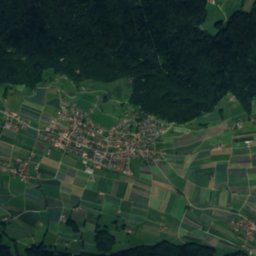
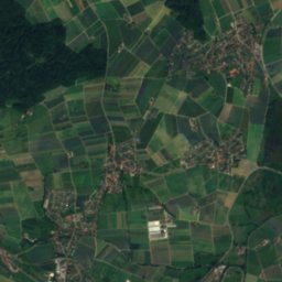
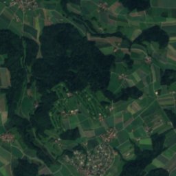
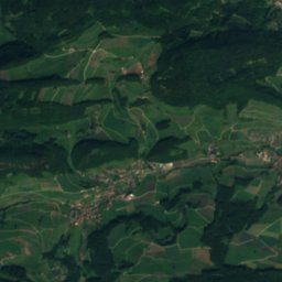
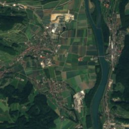
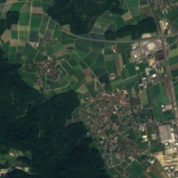
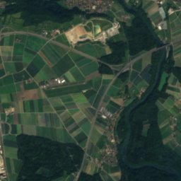
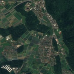
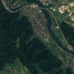
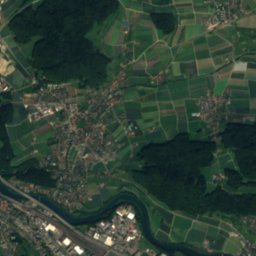
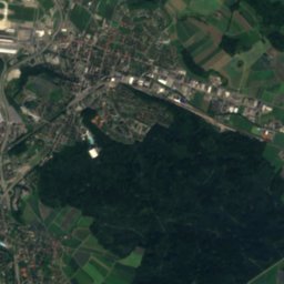
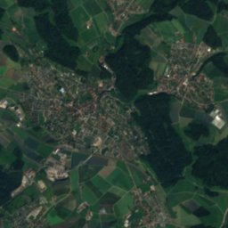
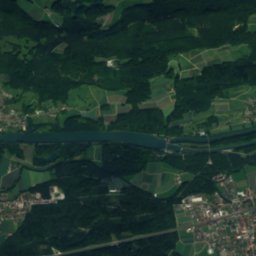
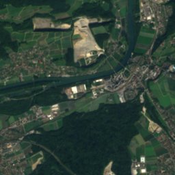
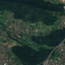
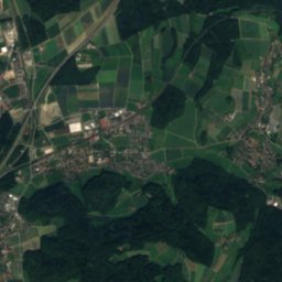
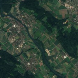
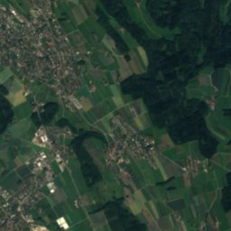
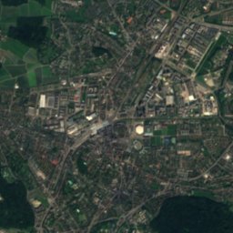
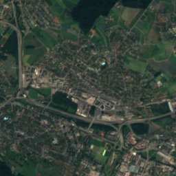
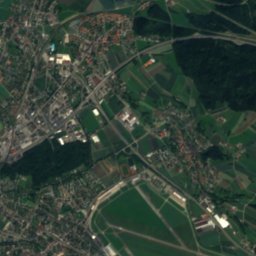
Nieder-Steinmaur - Schöfflisdorf
Nieder-Steinmaur - Schöfflisdorf in brief
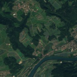
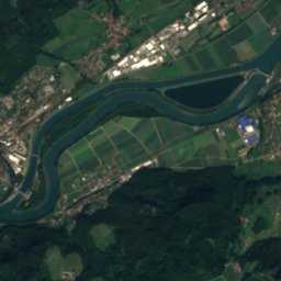
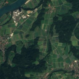
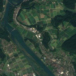
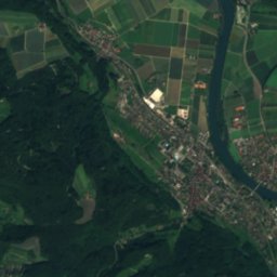
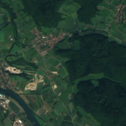
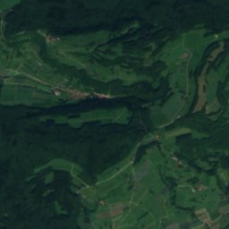
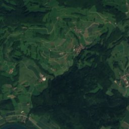
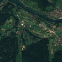
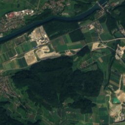
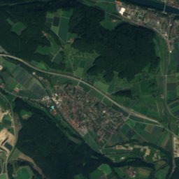
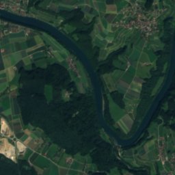
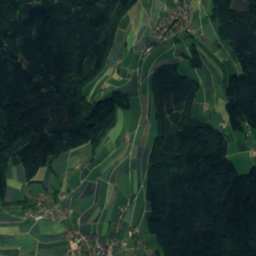
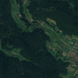
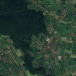
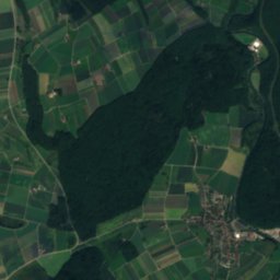
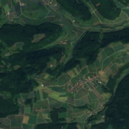
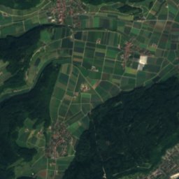
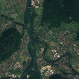
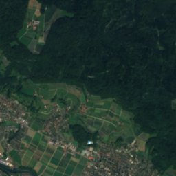
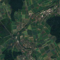
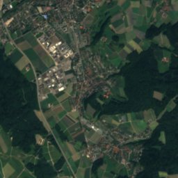
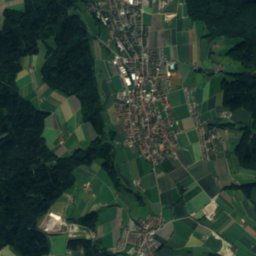
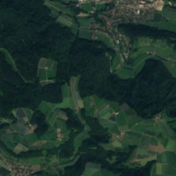
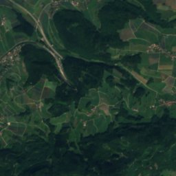
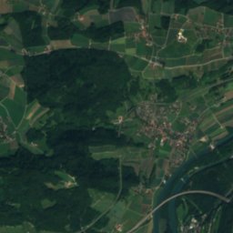
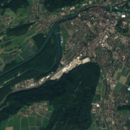
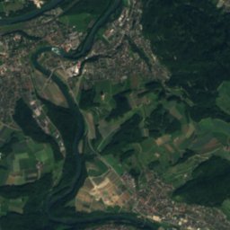
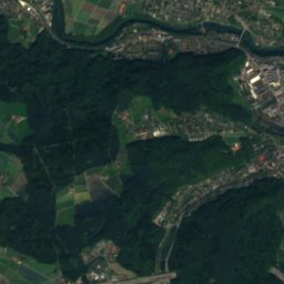
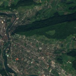
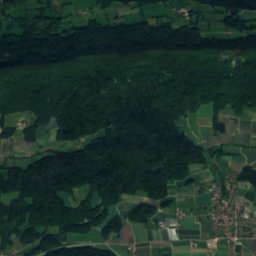
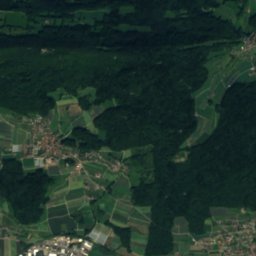
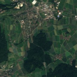
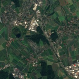
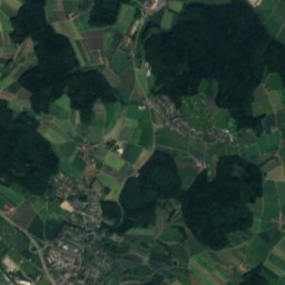
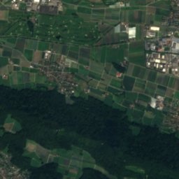
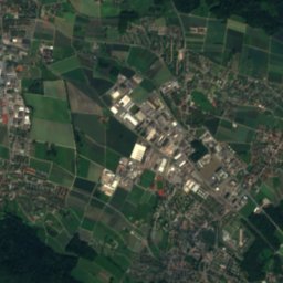
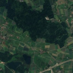
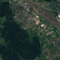
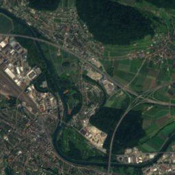
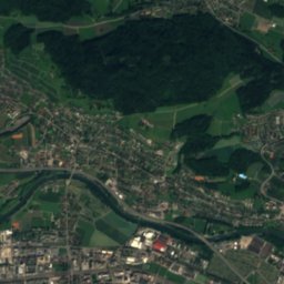
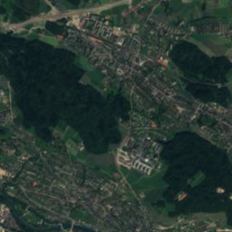
Nieder-Steinmaur - Schöfflisdorf is a 3.3 km hiking route (T1) from Steinmaur to Oberweningen, Zurich, Switzerland.
It climbs 92 m and descends 60 m, topping out at 514 m; it starts at 439 m and ends at 471 m.
The DIN 33466 walking time is 1 h without breaks (4 km an hour on the level, 300 m an hour uphill, 500 m downhill).
On the SAC hiking scale it is graded T1 (hiking). In terms of effort it counts as easy.
0% of the way is on natural paths, 59% on gravel and 41% on tarmac; 15% of it runs through forest.
The best months are March–April and September, judged by temperature and rain at the highest point.
At the high point the warmest month, July, averages 25° by day.
A bus stop or station lies within 800 m of the start or the finish. There is a car park near the start.
Facts
- Distance
- 3.3 km
- Ascent / descent
- 92 m / 60 m
- Highest / lowest point
- 514 m / 439 m
- Walking time
- 1 h
- Grade
- T1 · hiking
- Effort
- easy
- Steepest kilometre
- 4 %
- In forest
- 15 %
- Best months
- Mar–Apr · Sep
- Start
- Steinmaur
- Finish
- Oberweningen
- Network
- Local route
The line on the ground
Elevation profile
Height every 20 mThe year month by month
- Janpossible
- Febpossible
- Margood
- Aprgood
- Maygood, wetter
- Jungood, wetter
- Julgood, wetter
- Auggood, wetter
- Sepgood
- Octgood, wetter
- Novpossible
- Decpossible
Climate at the high point (514 m)
Averages 1981–2010 adjusted to the height with 6.5 °C per km; daylight at the start| Month | Jan | Feb | Mar | Apr | May | Jun | Jul | Aug | Sep | Oct | Nov | Dec |
|---|---|---|---|---|---|---|---|---|---|---|---|---|
| Average high | 4° | 5° | 10° | 15° | 19° | 23° | 25° | 24° | 19° | 14° | 8° | 4° |
| Average low | -2° | -2° | 1° | 4° | 8° | 11° | 13° | 13° | 9° | 6° | 2° | -1° |
| Precipitation | 94 mm | 83 mm | 96 mm | 90 mm | 126 mm | 127 mm | 130 mm | 122 mm | 103 mm | 106 mm | 94 mm | 114 mm |
| Daylight | 8 h 52 min | 10 h 16 min | 11 h 51 min | 13 h 36 min | 15 h 06 min | 15 h 56 min | 15 h 36 min | 14 h 18 min | 12 h 37 min | 10 h 56 min | 9 h 21 min | 8 h 28 min |
This week on the route
Loading the latest forecast…
Loading the latest forecast…
Loading the latest forecast…
Kilometre by kilometre
| km | What | Name | Elevation |
|---|---|---|---|
| 0.0 | Town or village | Steinmaur · 0.7 km off the route | 457 m |
| 0.0 | Town or village | Neerach · 2.8 km off the route | 448 m |
| 0.0 | Town or village | Dielsdorf · 1.5 km off the route | 435 m |
| 0.5 | Town or village | Regensberg · 1.0 km off the route | 597 m |
| 3.1 | Town or village | Oberweningen · 0.7 km off the route | 476 m |
| 3.1 | Drinking water | – | – |
| 3.3 | Town or village | Schleinikon · 1.4 km off the route | 469 m |
| 3.3 | Railway station | Schöfflisdorf-Oberweningen | 461 m |
Surface, shade and gradients
Start, stops and airports
- Start
- 47.49242° N, 8.44622° E · 439 m
- Finish
- 47.49966° N, 8.41625° E · 471 m
- Car park at the start
- yes · 72 m
- Stop at the start
- Steinmaur · Railway station · 250 m
- Stop at the finish
- Schöfflisdorf-Oberweningen · Railway station · 368 m
- Nearest airport
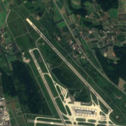
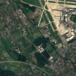
- Zürich Airport (ZRH) · 8.6 km
- Nearest airport
- EuroAirport Basel–Mulhouse–Freiburg (BSL) · 70.5 km
More routes near Steinmaur
Conditions change: check the official sources, the signposts and the weather before you set off. Walking times follow DIN 33466 and do not include breaks. Route data as of 2026-10-16. Report an error