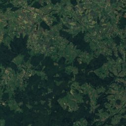
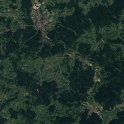
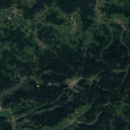
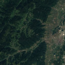
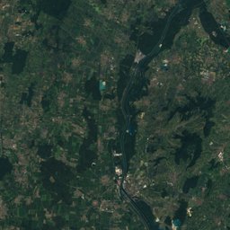
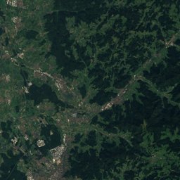
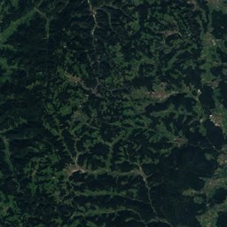
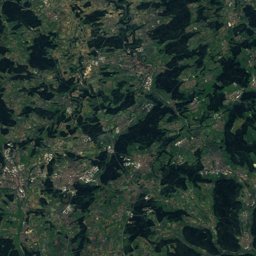
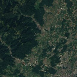
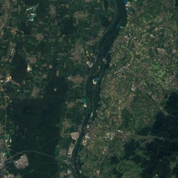
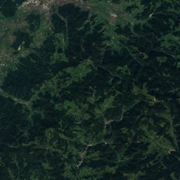
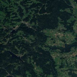
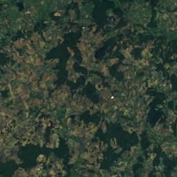
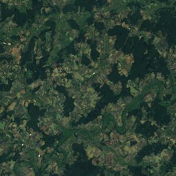
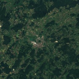
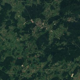
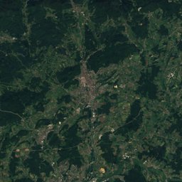
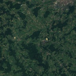
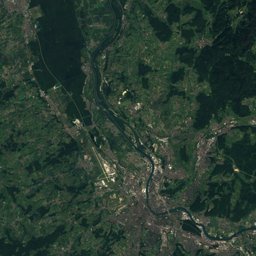
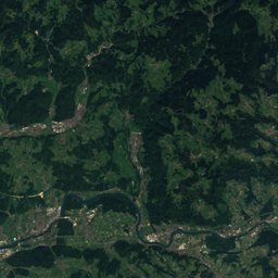
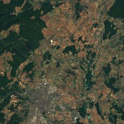
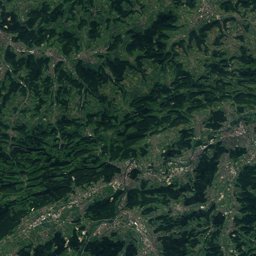
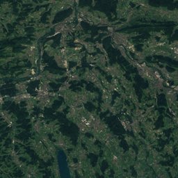
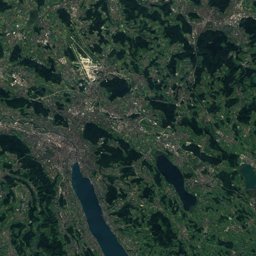
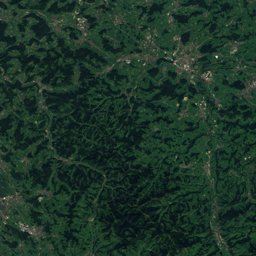
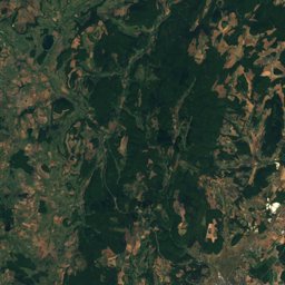
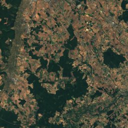
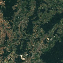
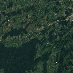
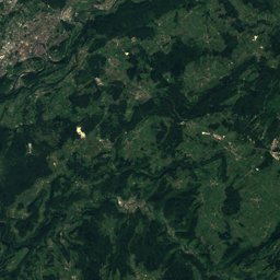
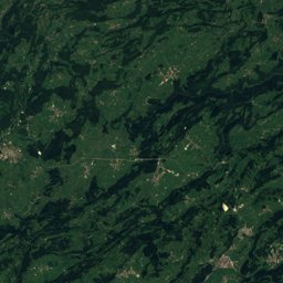
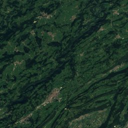
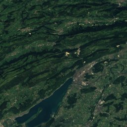
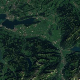
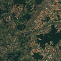
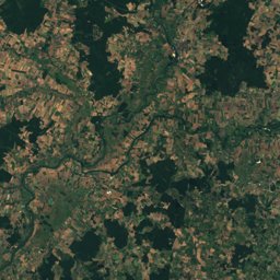
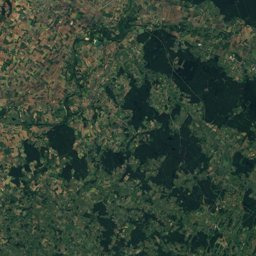
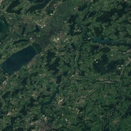
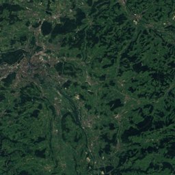
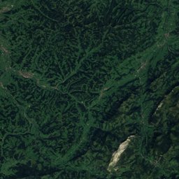
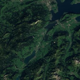
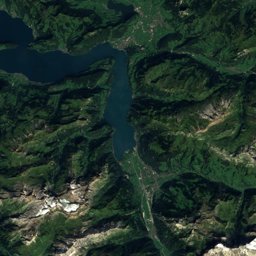
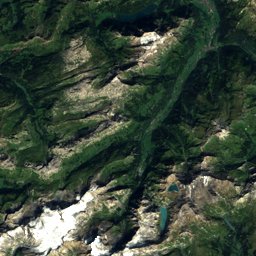
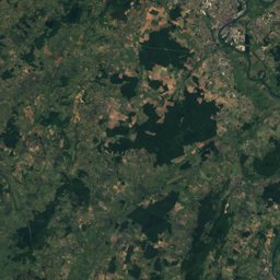
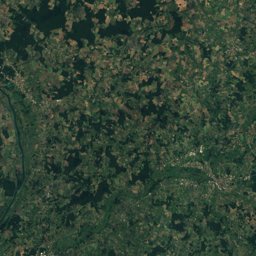
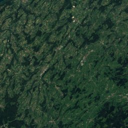
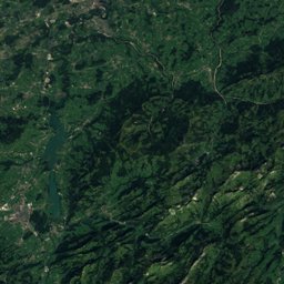
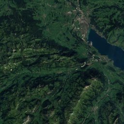
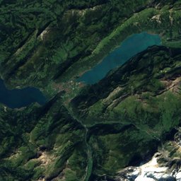
Stage 6: Weissenstein – Frinvillier


Stage 6 in brief
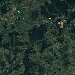
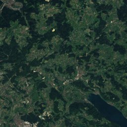
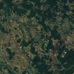
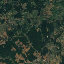
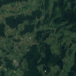
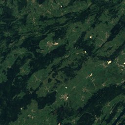
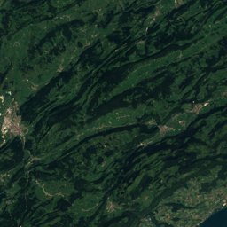
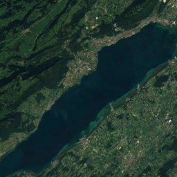
Stage 6 of the Jura Crest Trail covers 24.0 km from Weissenstein to Evilard, Bern, Switzerland.
It climbs 760 m and descends 1,450 m, topping out at 1,438 m near Hasenmatt; it starts at 1,263 m and ends at 550 m.
The official walking time is 7 h.
On the SAC hiking scale it is graded T1 (hiking). In terms of effort it counts as very demanding.
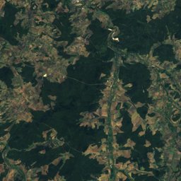
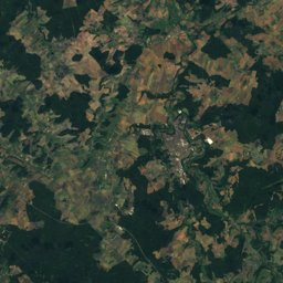
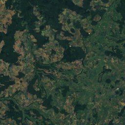
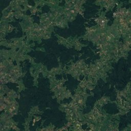
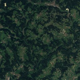
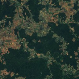
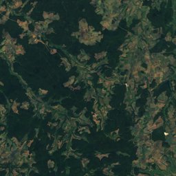
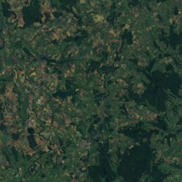
80% of the way is on natural paths, 0% on gravel and 20% on tarmac; 49% of it runs through forest.
The best months are April and September, judged by temperature and rain at the highest point.
At the high point the warmest month, July, averages 18° by day.
A bus stop or station lies within 800 m of the start or the finish. There is a car park near the start.
This is one of the route's official stages.
Facts
- Distance
- 24.0 km
- Ascent / descent
- 760 m / 1,450 m
- Highest / lowest point
- 1,438 m / 550 m
- Walking time
- 7 h
- Grade
- T1 · hiking
- Effort
- very demanding
- Steepest kilometre
- 18 %
- In forest
- 49 %
- Best months
- Apr · Sep
- Finish
- Evilard
- Network
- National route · 5
- Stages
- 6 / 16
The line on the ground
Elevation profile
Height every 20 mThe year month by month
- Janunsuitable
- Febunsuitable
- Marpossible
- Aprgood
- Maygood, wetter
- Jungood, wetter
- Julgood, wetter
- Auggood, wetter
- Sepgood
- Octgood, wetter
- Novpossible
- Decunsuitable
Climate at the high point (1,438 m)
Averages 1981–2010 adjusted to the height with 6.5 °C per km; daylight at the start| Month | Jan | Feb | Mar | Apr | May | Jun | Jul | Aug | Sep | Oct | Nov | Dec |
|---|---|---|---|---|---|---|---|---|---|---|---|---|
| Average high | 2° | 2° | 5° | 8° | 13° | 16° | 18° | 18° | 14° | 10° | 6° | 3° |
| Average low | -4° | -5° | -2° | 1° | 5° | 8° | 10° | 10° | 6° | 3° | -1° | -3° |
| Precipitation | 128 mm | 113 mm | 132 mm | 123 mm | 171 mm | 154 mm | 163 mm | 162 mm | 145 mm | 147 mm | 126 mm | 155 mm |
| Daylight | 8 h 54 min | 10 h 17 min | 11 h 51 min | 13 h 35 min | 15 h 04 min | 15 h 54 min | 15 h 34 min | 14 h 17 min | 12 h 37 min | 10 h 56 min | 9 h 22 min | 8 h 30 min |
This week on the route
Loading the latest forecast…
Loading the latest forecast…
Loading the latest forecast…
Kilometre by kilometre
| km | What | Name | Elevation |
|---|---|---|---|
| 0.0 | Summit | Weissenstein | 1,395 m |
| 0.0 | Pass | Passhöhe Weissenstein | 1,279 m |
| 0.9 | Picnic spot | – | – |
| 2.5 | Picnic spot | – | – |
| 4.1 | Picnic spot | – | – |
| 4.4 | Viewpoint | – | – |
| 4.8 | Summit | Hasenmatt | 1,445 m |
| 9.1 | Viewpoint | – | – |
| 9.5 | Hostel | Obergrenchenberg | – |
| 19.9 | Town or village | Vauffelin · 0.9 km off the route | 710 m |
| 20.0 | Picnic spot | – | – |
| 20.4 | Town or village | Plagne | 866 m |
| 20.5 | Drinking water | – | – |
| 23.8 | Drinking water | – | – |
| 24.0 | Town or village | Evilard · 2.5 km off the route | 707 m |
| 24.0 | Railway station | Frinvillier-Taubenloch | 555 m |
| 24.0 | Hostel | Restaurant des Gorges | – |
Surface, shade and gradients
Seen along the route


Start, stops and airports
- Start
- 47.25408° N, 7.50679° E · 1,263 m
- Finish
- 47.16909° N, 7.25855° E · 550 m
- Car park at the start
- Weissenstein Nord · 10 m
- Stop at the start
- none within 800 m
- Stop at the finish
- Frinvillier-Taubenloch · Railway station · 99 m
- Nearest airport
- Bern Airport (BRN) · 38.0 km
- Nearest airport
- EuroAirport Basel–Mulhouse–Freiburg (BSL) · 38.6 km
Conditions change: check the official sources, the signposts and the weather before you set off. Walking times follow DIN 33466 and do not include breaks. Route data as of 2026-10-16. Report an error