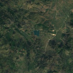
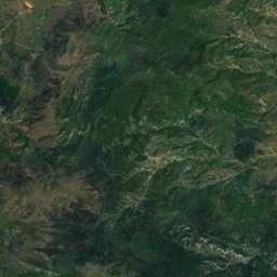
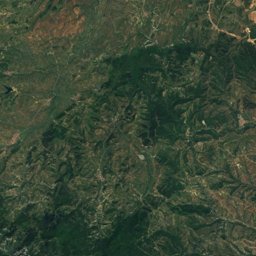
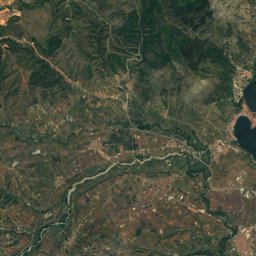
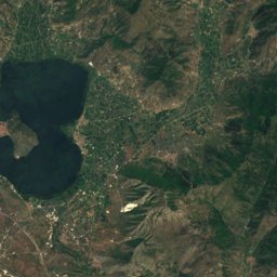
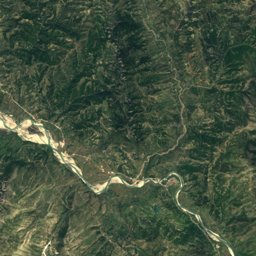
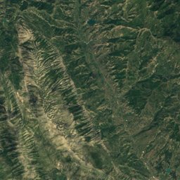
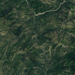
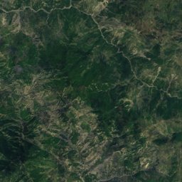
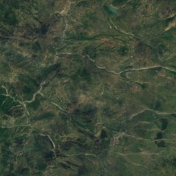
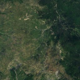
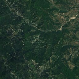
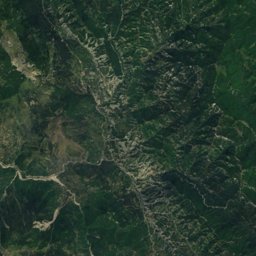
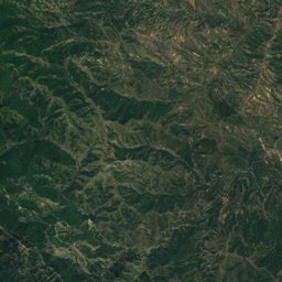
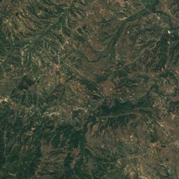
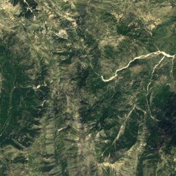
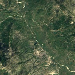
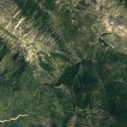
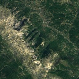
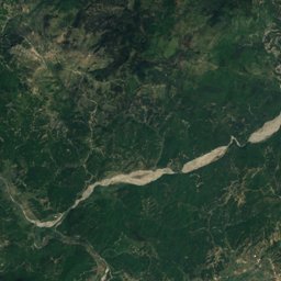
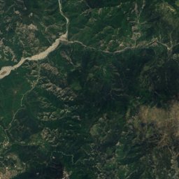
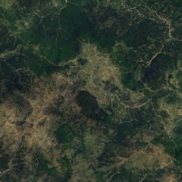
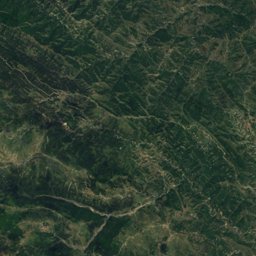
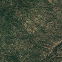
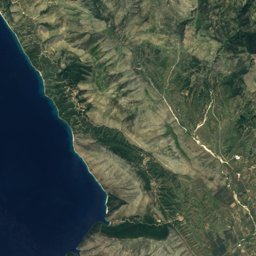
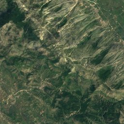
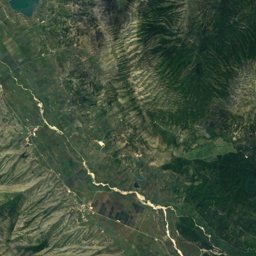
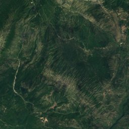
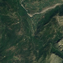
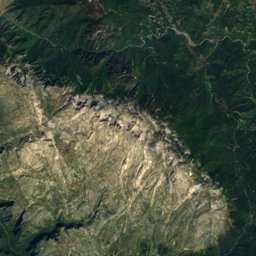
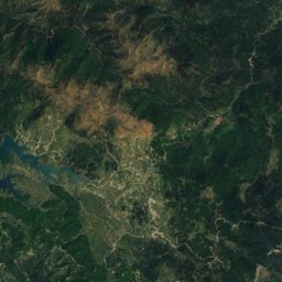
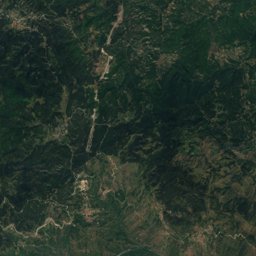
Satellite: Sentinel-2 cloudless 2016 by EOX IT Services GmbH · CC BY 4.0 · Contains modified Copernicus Sentinel data 2016
Outdoor activitiesKonitsa
Outdoors near Konitsa
within 15 km16places
Mountain huts6
Hot springs & thermal baths5
40.05° N, 20.76° EElevation 691 mUTC+2 · Eastern European Standard Time
When to goKonitsa · weather score
Best timeJun · Sep–Oct
October: high / low18° / 9°
Mountain huts
| Name | Nearby | Details |
|---|---|---|
| Astraka Mountain Hutstaffed | 7.8 km | 1,910 m · Website |
| Smolikas Mountain Hutstaffed | 11.6 km | 1,706 m · Website |
| Smolikas Wilderness hut un-servicedunstaffed shelter | 11.3 km | 1,650 m |
| Sadi Migas Hutunstaffed shelter | 7.4 km | 1,506 m |
| Καλύβα Μυστακίδηunstaffed shelter | 5.2 km | |
| Καταφύγιο ανάγκης «Λουκάς Γιαννακούλης»staffed | 8.3 km |
Hot springs & thermal baths
| Name | Nearby | Details |
|---|---|---|
| Burimet Termale te Vromoneritnatural spring | 9 km | |
| Sulfur baths of Kavasilasthermal baths | 7.6 km | |
| Sarandoporonatural spring | 8.6 km | |
| sulfur, but not warmnatural spring | 9.1 km | |
| Ιαματικά Λουτρά Αμάραντουthermal baths | 14.2 km |
Hot springs & thermal baths in Epirus
Viewpoints
| Name | Nearby | Details |
|---|---|---|
| Δρακόλιμνη | 6.6 km | |
| Viewpoint Aoos | 9.3 km | |
| Θέα Φαραγγιού | 11.6 km | |
| Γέφυρα Βοϊδομάτη (Αρίστης) | 13 km |
Camp sites
| Name | Nearby | Details |
|---|---|---|
| Camping RV Parking | 11.9 km |
Places come from an open map made by volunteers: well-known sites are there, small or new ones may be missing. Opening times and prices change, so check before you go.