


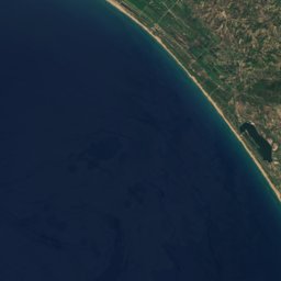
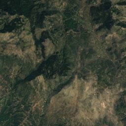
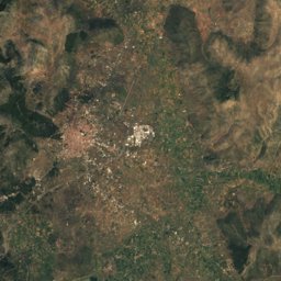




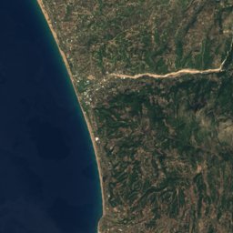
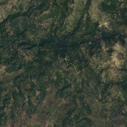
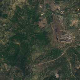
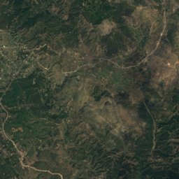
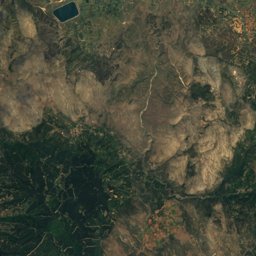



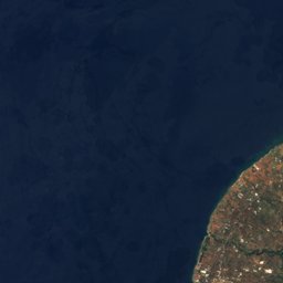
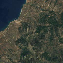
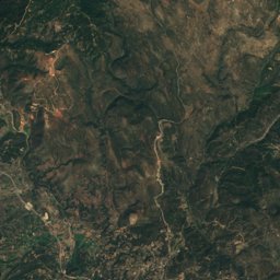



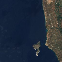
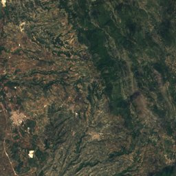
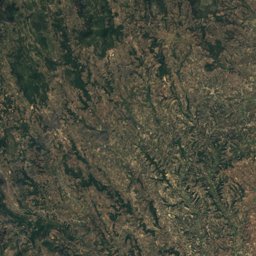
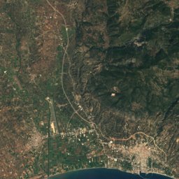
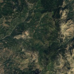
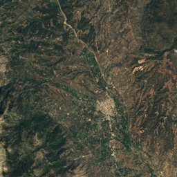




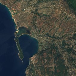
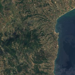
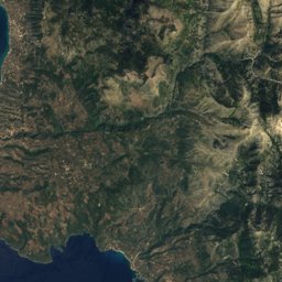
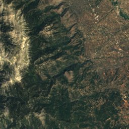




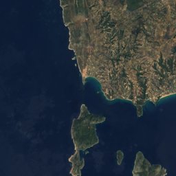
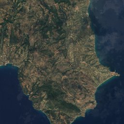

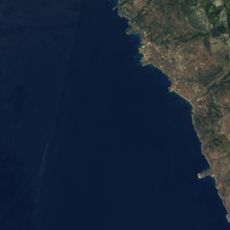
Satellite: Sentinel-2 cloudless 2016 by EOX IT Services GmbH · CC BY 4.0 · Contains modified Copernicus Sentinel data 2016
Outdoor activitiesChora
Outdoors near Chora
within 15 km14places
Viewpoints9
Camp sites3
37.05° N, 21.72° EElevation 285 mUTC+3 · Eastern European Summer Time
When to goChora · weather score
Best timeApr–May · Oct
October: high / low24° / 13°
Viewpoints
| Name | Nearby | Details |
|---|---|---|
| Nestor's cave | 11.4 km | |
| Kokkina Patera | 10 km | |
| Mavrolimna | 14.1 km | |
| Waterfall | 14.3 km | |
| Lake Kadis | 14.3 km | |
| Lake Kadoula | 14.3 km | |
| Polilimnio | 14.3 km | |
| Pylos Bay viewpoint | 11.5 km | |
| Sphacteria Island and Ionian Sea Viewpoint | 11.7 km |
Camp sites
Golf courses
Places come from an open map made by volunteers: well-known sites are there, small or new ones may be missing. Opening times and prices change, so check before you go.