



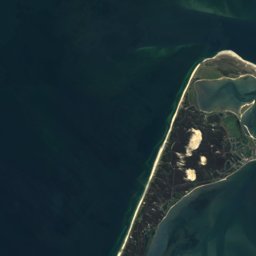




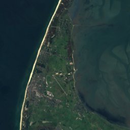




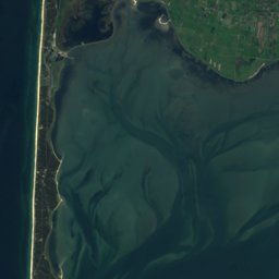
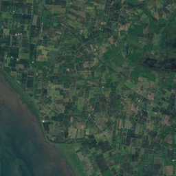
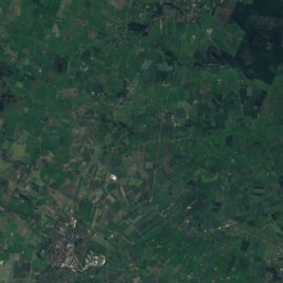
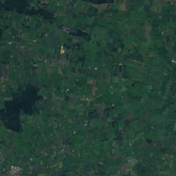



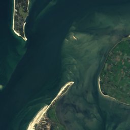
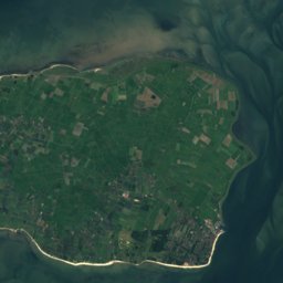
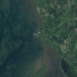
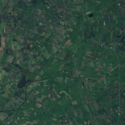
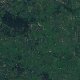




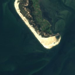
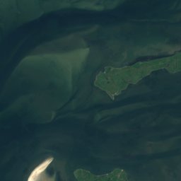
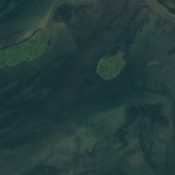
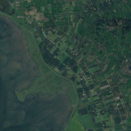





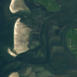
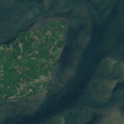
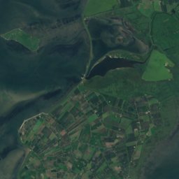
Satellite: Sentinel-2 cloudless 2016 by EOX IT Services GmbH · CC BY 4.0 · Contains modified Copernicus Sentinel data 2016
Outdoor activitiesUtersum
Outdoors near Utersum
within 15 km25places
Viewpoints10
Camp sites8
54.71° N, 8.41° EElevation 4 mUTC+1 · Central European Standard Time
When to goUtersum · weather score
Best timeJun–Aug
October: high / low13° / 9°
Viewpoints
| Name | Nearby | Details |
|---|---|---|
| Leuchtturm Amrum | 9.8 km | |
| Andelhof | 7.6 km | Website |
| A Siatler | 6.7 km | 32 m |
| Aussichtsdüne | 7 km | |
| Himmelsleiter | 7 km | |
| Vogelkoje | 7.7 km | |
| Tontaubenschießstand | 7.9 km | |
| Aussichtsdüne | 9.3 km | |
| Aussichtsdüne | 9.9 km | |
| Aufstiegsmauerwerk | 9.9 km |
Viewpoints in Schleswig-Holstein
Camp sites
| Name | Nearby | Details |
|---|---|---|
| FKK-Zeltplatz Amrum | 10.1 km | Website |
| Dünencamping Amrum | 9.9 km | Website |
| Campingplatz Hörnum | 9.8 km | Website |
| unsere welt | 7 km | Website |
| Jugendzeltplatz Möskendeel | 10.6 km | Website |
| Wohnmobilstellplatz Föhrcaravans & motorhomes | 0.4 km | Website |
| Strandläufernest | 10.7 km | Website |
| Wohnmobilstellplatz Hörnumcaravans & motorhomes | 9.6 km | Website |
Camp sites in Schleswig-Holstein
Golf courses
Golf courses in Schleswig-Holstein
Zoos
| Name | Nearby | Details |
|---|---|---|
| Storchenpark | 10.6 km | Website |
| Damwildgehege | 7.6 km |
Surf spots
| Name | Nearby | Details |
|---|---|---|
| Surfschule Amrumwindsurf | 5.9 km | Website |
Waves, next days
| Fri 30 | Sat 31 | Sun 1 | Mon 2 | Tue 3 | |
|---|---|---|---|---|---|
| Surfschule Amrum | 6.1 m10 s · west | 7.2 m11 s · north-west | 4.7 m10 s · north-west | 3.5 m7 s · south-east | 3.7 m11 s · south-west |
Highest wave of each day in open water near the spot (significant height and period), from a global wave model; the break itself can differ.
Water parks
| Name | Nearby | Details |
|---|---|---|
| Aquaföhr | 10.9 km | Website |
Places come from an open map made by volunteers: well-known sites are there, small or new ones may be missing. Opening times and prices change, so check before you go.