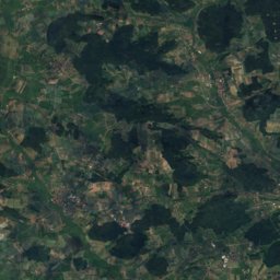
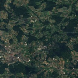
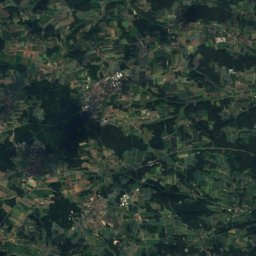
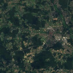
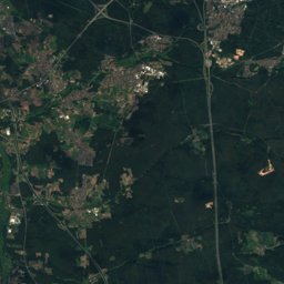
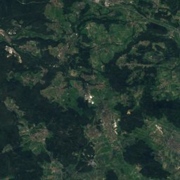
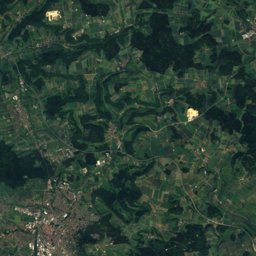
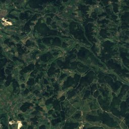
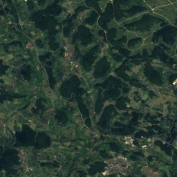
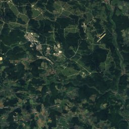
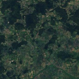
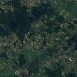
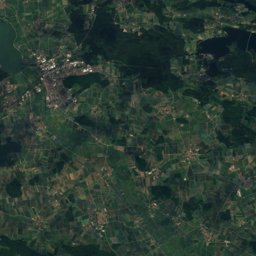
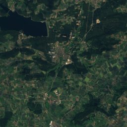
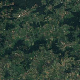
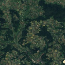
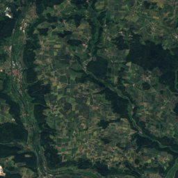
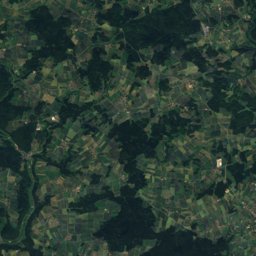
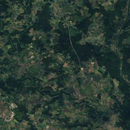
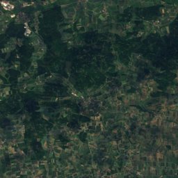
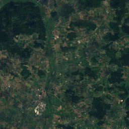
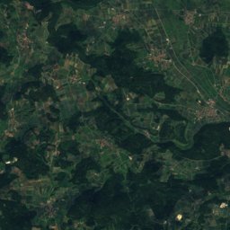
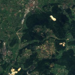
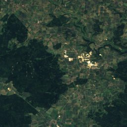
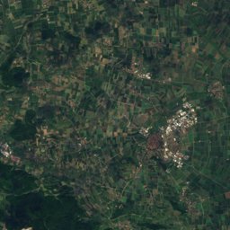
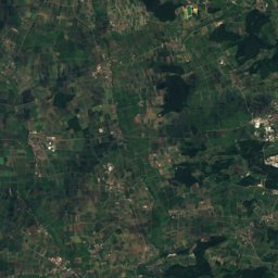
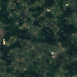
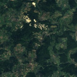
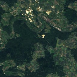
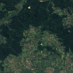
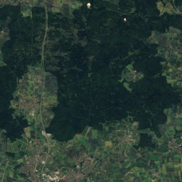
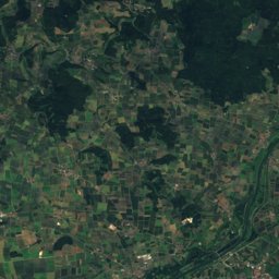
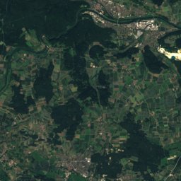
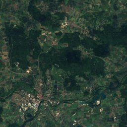
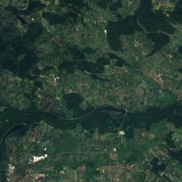
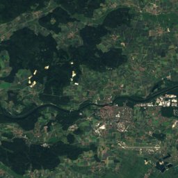
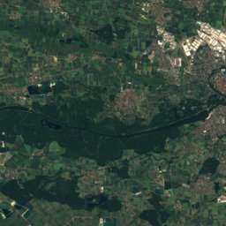
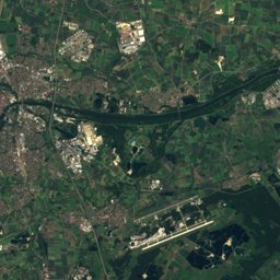
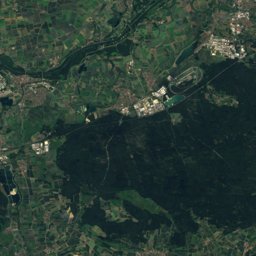
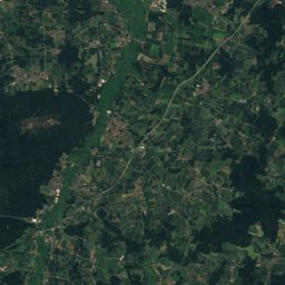
Satellite: Sentinel-2 cloudless 2016 by EOX IT Services GmbH · CC BY 4.0 · Contains modified Copernicus Sentinel data 2016
Outdoor activitiesTitting
Outdoors near Titting
within 15 km28places
Viewpoints13
Camp sites10
49.00° N, 11.21° EElevation 445 mUTC+2 · Central European Summer Time
When to goTitting · weather score
Best timeJul–Sep
October: high / low13° / 5°
Viewpoints
| Name | Nearby | Details |
|---|---|---|
| Reuther Platte | 8.9 km | |
| Doline | 10.5 km | |
| Alte Fliegerrampe | 12 km | |
| Lange Bank | 12.5 km | |
| Regenschirm, Parapluie | 12.8 km | |
| Weißenburg-Blick | 13.1 km | |
| Jura-Felsen | 13.2 km | |
| Dammerfelsen | 13.5 km | |
| Mount Bieswang | 14.1 km | |
| Kanzel | 14.5 km | |
| Brandplatz | 14.8 km | |
| Schloss Ellingen-Blick | 15 km |
Camp sites
| Name | Nearby | Details |
|---|---|---|
| Willy-Brandt-Zeltlagerplatz Reinwarzhofen | 9.5 km | Website |
| Azur Camping Altmühltal | 14 km | Website |
| DPSG Diözesanzentrum Osterberg | 12.6 km | Website |
| Wohnmobilstellplatz Eichstättcaravans & motorhomes | 12.6 km | Website |
| Bauer-Keller | 11.2 km | Website |
| Bootsrastplatz Gungoldingbackcountry | 13.3 km | Website |
| Bootsrastplatz Kindingbackcountry | 12.9 km | Website |
| Bootsrastplatz Inchingbackcountry | 12 km | Website |
| Bootsrastplatz Ilblingbackcountry | 12.9 km | Website |
| Wohnmobilstellplatz Thalmässingcaravans & motorhomes | 10.1 km |
Zoos
| Name | Nearby | Details |
|---|---|---|
| Schwarzwild Gewöhnungsgatter | 14.3 km | Website |
| Wildschweine | 8.8 km | |
| Rotwildgehege | 9.6 km | |
| Bösbach Alpakas | 14.1 km |
Theme parks
| Name | Nearby | Details |
|---|---|---|
| Westernstadt Stone Break Hill | 10.1 km |
Places come from an open map made by volunteers: well-known sites are there, small or new ones may be missing. Opening times and prices change, so check before you go.