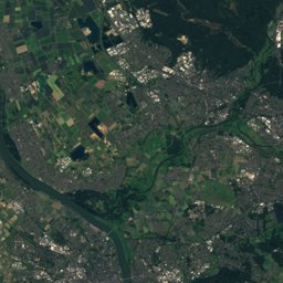
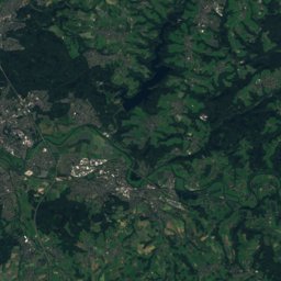
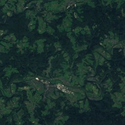
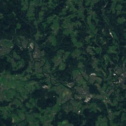
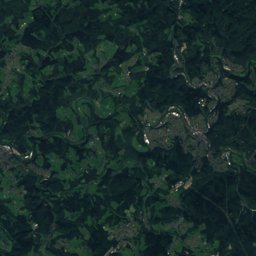
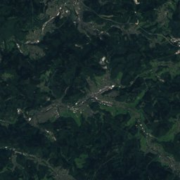
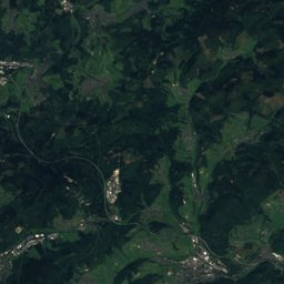
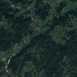
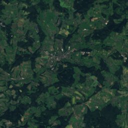
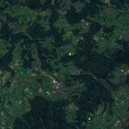
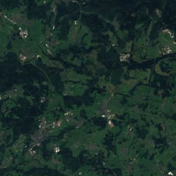
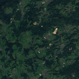
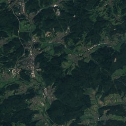
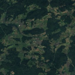
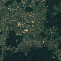
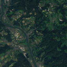
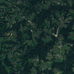
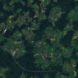
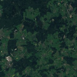
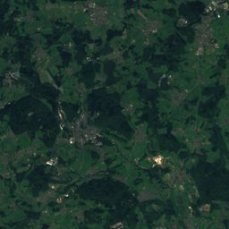
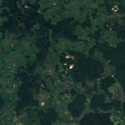
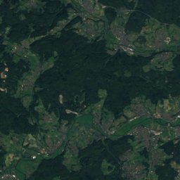
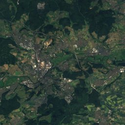
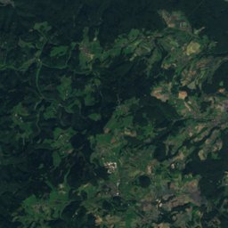
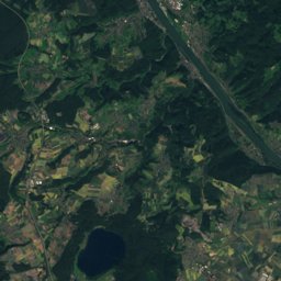
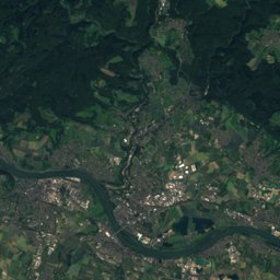
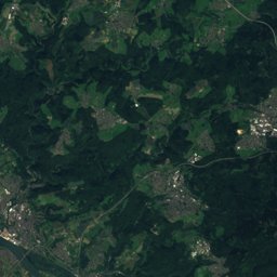
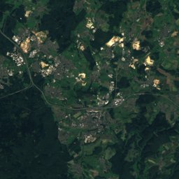
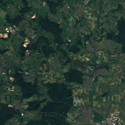
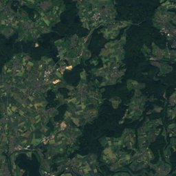
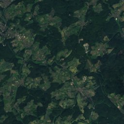
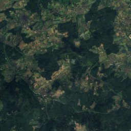
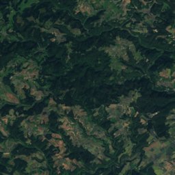
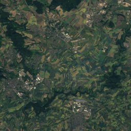
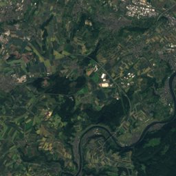
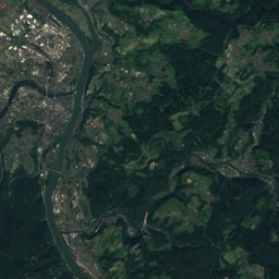
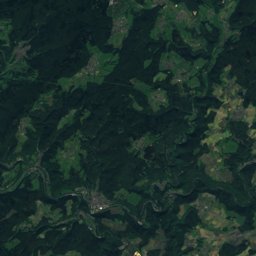
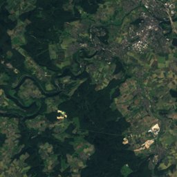
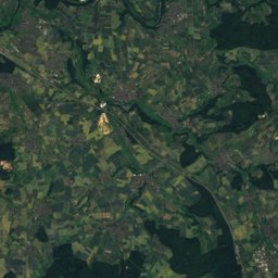
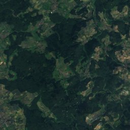
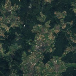
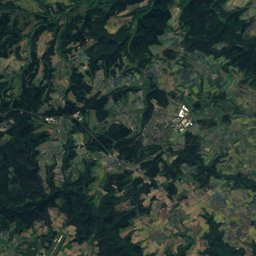
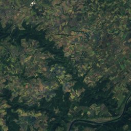
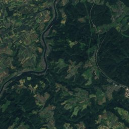
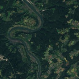
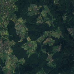
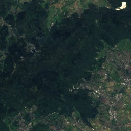
Satellite: Sentinel-2 cloudless 2016 by EOX IT Services GmbH · CC BY 4.0 · Contains modified Copernicus Sentinel data 2016
Outdoor activitiesStaudt
Outdoors near Staudt
within 15 km51places
Viewpoints27
Camp sites21
50.47° N, 7.83° EElevation 256 mUTC+1 · Central European Standard Time
When to goStaudt · weather score
Best timeMay · Aug–Sep
October: high / low14° / 6°
Viewpoints
| Name | Nearby | Details |
|---|---|---|
| Aussichtsturm Köppel | 7.1 km | 542 m |
| Nonnenheck | 13.1 km | 344 m |
| Aussichtsturm Helleberg | 9.7 km | |
| Steimel | 2.7 km | 334 m |
| Lustiger Hügel | 2.2 km | 323 m |
| Schlossberg | 13.4 km | 251 m |
| Pausenhütte | 14.6 km | 202 m |
| Wasserbehälter | 7.3 km | |
| Ausblick | 3.1 km | |
| Viewpoint Heiligenroth | 3.2 km | |
| Horresser Berg | 4 km | |
| Schöne Aussicht | 4.5 km |
Camp sites
| Name | Nearby | Details |
|---|---|---|
| Freibad & Campingplatz "Klingelwiese" | 10.5 km | Website |
| Campingpark Hofgut Schönerlen | 10.8 km | Website |
| Campingplatz Freilingen am Postweiher | 10.9 km | Website |
| Haus Seeblick | 8.3 km | Website |
| Campingplatz Haus am See | 14.7 km | Website |
| Dauercampingplatz Herschbach | 14.6 km | Website |
| Glücksgefühl | 10.7 km | Website |
| Zeltplatz Karlsheim | 11.3 km | Website |
| Wohnmobilstellplatz Westerwälder-Seenplattecaravans & motorhomes | 10.8 km | Website |
| Hüttenmühlecaravans & motorhomes | 11.2 km | Website |
| Wohnmobilstellplatz Herthaseecaravans & motorhomes | 12.6 km | Website |
| Zeltplatz 1 | 7.7 km | Website |
Mountain huts
| Name | Nearby | Details |
|---|---|---|
| Grillhütte Flürchenunstaffed shelter | 10.9 km | 308 m |
Golf courses
| Name | Nearby | Details |
|---|---|---|
| Golfanlage Dreifelden | 14.7 km | Website |
Theme parks
| Name | Nearby | Details |
|---|---|---|
| Wildpark Westerwald | 11.9 km | Website |
Diving
- Baggersee Diez15.5 km
Places come from an open map made by volunteers: well-known sites are there, small or new ones may be missing. Opening times and prices change, so check before you go.