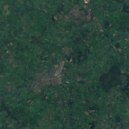
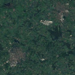
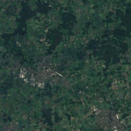
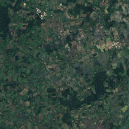
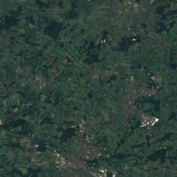
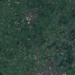
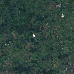
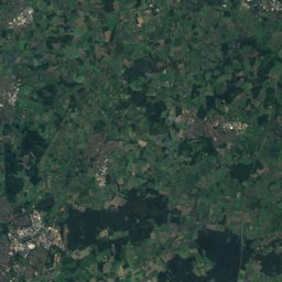
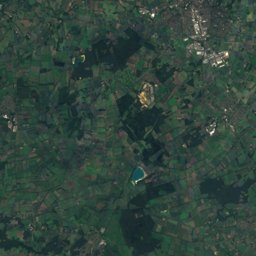
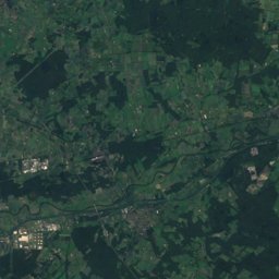
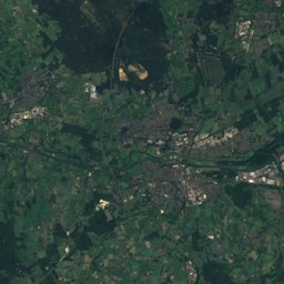
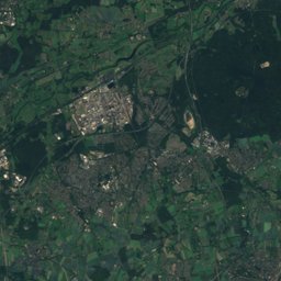
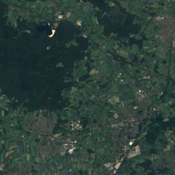
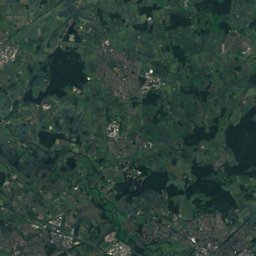
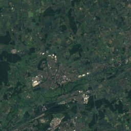
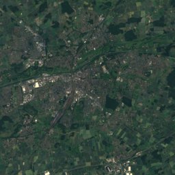
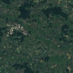
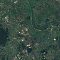
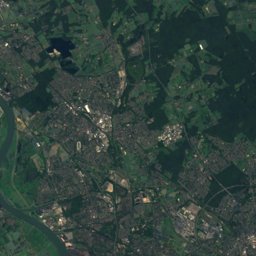
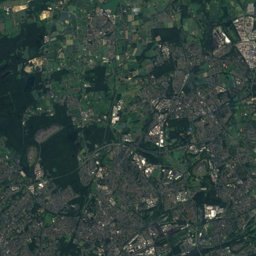
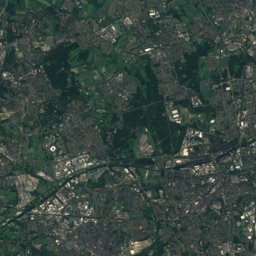
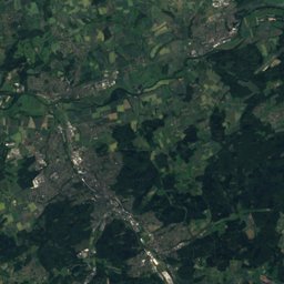

Satellite: Sentinel-2 cloudless 2016 by EOX IT Services GmbH · CC BY 4.0 · Contains modified Copernicus Sentinel data 2016
Outdoor activitiesSelm
Outdoors near Selm
within 15 km54places
Camp sites29
Viewpoints13
51.70° N, 7.47° EElevation 57 mUTC+1 · Central European Standard Time
When to goSelm · weather score
Best timeMay–Jun · Sep
October: high / low15° / 7°
Camp sites
| Name | Nearby | Details |
|---|---|---|
| Freizeitpark Klaukenhofcaravans & motorhomes | 7.5 km | ★★★ · Website |
| Stimberg Camping | 13.2 km | Website |
| Seepark Ternschecaravans & motorhomes | 2.9 km | Website |
| Haard-Camping Familie Weber | 12.9 km | Website |
| Losheide | 8.2 km | Website |
| Erholungspark Wehlingsheide | 11.4 km | Website |
| Erholungszentrum Königsmoor | 7.7 km | Website |
| Feriencamp "Ahsener Heide" | 12.1 km | Website |
| Campingplatz Zum Abdinghoff | 13.2 km | Website |
| Camping Am Mühlenbach | 7.7 km | Website |
| Campingplatz Budde-Rosanowski | 8.9 km | Website |
| Burbank | 8.5 km | Website |
Camp sites in North Rhine-Westphalia
Viewpoints
| Name | Nearby | Details |
|---|---|---|
| Spurwerkturm | 9.5 km | |
| Dreibogenbrücke | 5.5 km | |
| Freiherr-vom-Stein-Denkmal | 6.8 km | |
| Seppenrader Schweiz | 7 km | |
| Blickpunkt aufs Dreischfeld | 7.1 km | |
| Rechede | 7.1 km | |
| Die Wolfsschlucht | 8.6 km | |
| Kraftwerk Datteln 4 | 11.4 km | |
| Ruhepunkt West | 12.7 km | |
| Ruhepunkt Ost | 12.8 km | |
| Adener Höhe | 13 km | |
| Info-Punkt Beversee | 13.4 km |
Viewpoints in North Rhine-Westphalia
Zoos
Zoos in North Rhine-Westphalia
Golf courses
Golf courses in North Rhine-Westphalia
Theme parks
| Name | Nearby | Details |
|---|---|---|
| LWL-Industriemuseum Schiffshebewerk Henrichenburg | 13.1 km |
Diving
- Tauchcenter Dortmund15.1 km
Places come from an open map made by volunteers: well-known sites are there, small or new ones may be missing. Opening times and prices change, so check before you go.