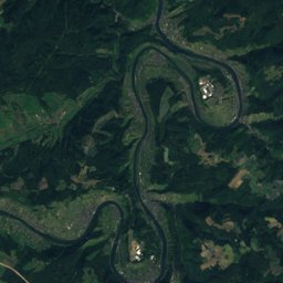
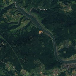
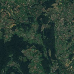
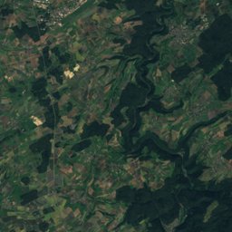
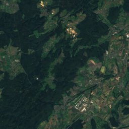
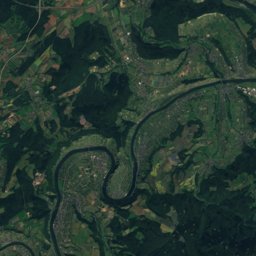
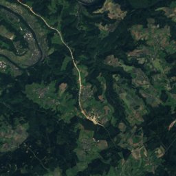
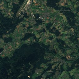
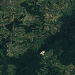
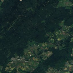
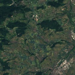
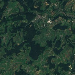
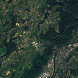
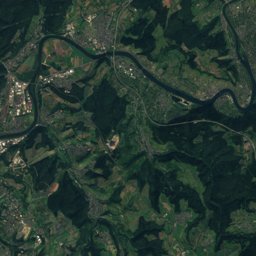
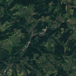
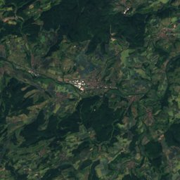
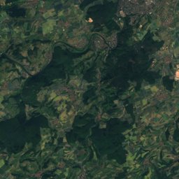
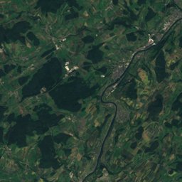
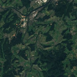
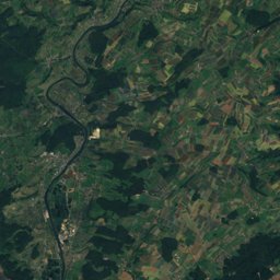
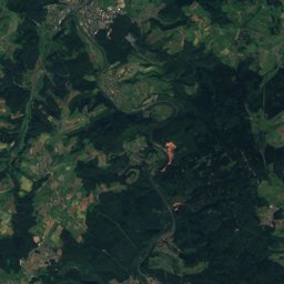
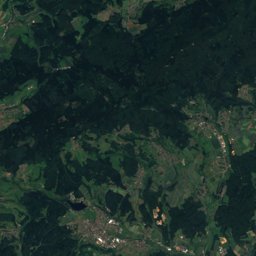
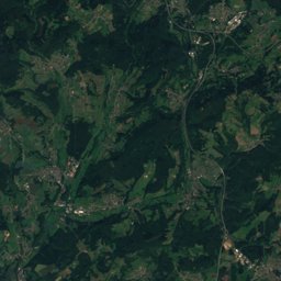
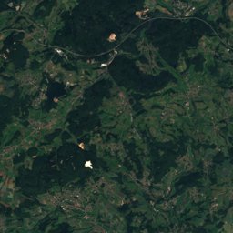
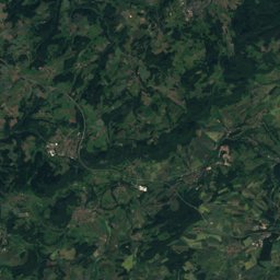
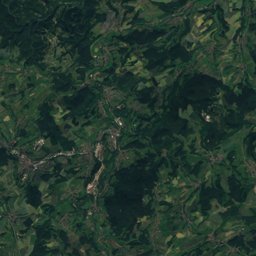
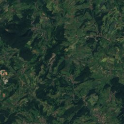
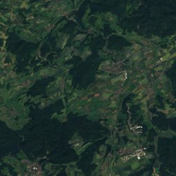
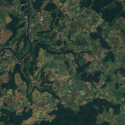
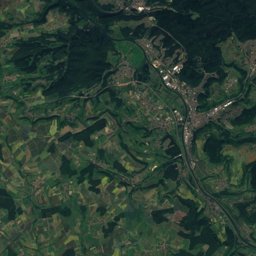
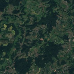
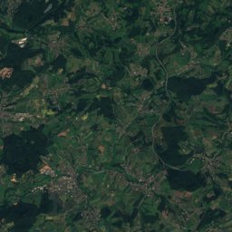
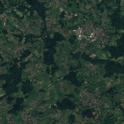
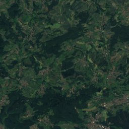
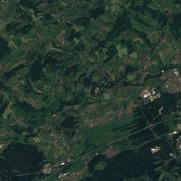
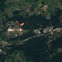
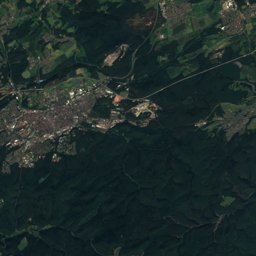
Satellite: Sentinel-2 cloudless 2016 by EOX IT Services GmbH · CC BY 4.0 · Contains modified Copernicus Sentinel data 2016
Outdoor activitiesSchwollen
Outdoors near Schwollen
within 15 km43places
Viewpoints22
Camp sites17
49.71° N, 7.17° EElevation 449 mUTC+1 · Central European Standard Time
When to goSchwollen · weather score
Best timeJun–Jul · Sep
October: high / low13° / 6°
Viewpoints
| Name | Nearby | Details |
|---|---|---|
| Wehlenstein | 4.6 km | 668 m |
| Aussichtsturm Hattgenstein | 1.9 km | |
| Erbeskopfturm | 6.6 km | |
| Aussichtspunkt mit Bank | 12.1 km | 432 m |
| Bergfried | 9.2 km | |
| Ringkopf | 5.5 km | |
| Windklang | 6.8 km | |
| Bärloch | 7.6 km | |
| Hohenfels | 7.7 km | |
| Weibersprung | 8.6 km | |
| Nahepanorama | 8.6 km | |
| Beilfels | 8.8 km |
Camp sites
| Name | Nearby | Details |
|---|---|---|
| Campingpark Waldwiesen | 5.6 km | ★★★★ · Website |
| Campingplatz Harfenmühle | 12.9 km | Website |
| Edelsteincamp | 12.7 km | Website |
| Outdoorcampingplatz Massingsmühle | 13.5 km | Website |
| Sensweiler Mühle | 7.4 km | Website |
| Höhenblickcaravans & motorhomes | 6.3 km | Website |
| TuS Tiefenstein | 8.7 km | Website |
| Reisemobilstellplatz Thalfangcaravans & motorhomes | 13.5 km | Website |
| Wohnmobilstellplatz Weiherschleife Idar-Obersteincaravans & motorhomes | 8.4 km | Website |
| Wohnmobilstellplatz Herrsteincaravans & motorhomes | 14.2 km | Website |
| Trekkingcamp Drachenlagerbackcountry | 7.7 km | Website |
| Trekkingcamp Wolfsheulenbackcountry | 8.4 km | Website |
Golf courses
| Name | Nearby | Details |
|---|---|---|
| Golfpark Bostalsee | 12.9 km | |
| Golfclub Edelstein-Hunsrück | 6.2 km |
Zoos
| Name | Nearby | Details |
|---|---|---|
| Wildfreigehege Wildenburg | 8.8 km | Website |
| Tierpark Birkenfeld | 4.9 km |
Diving
- Bostalsee17.3 km
Places come from an open map made by volunteers: well-known sites are there, small or new ones may be missing. Opening times and prices change, so check before you go.