
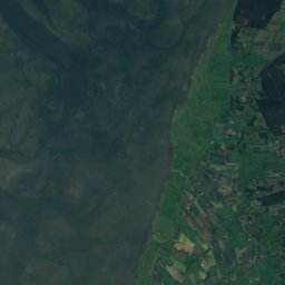
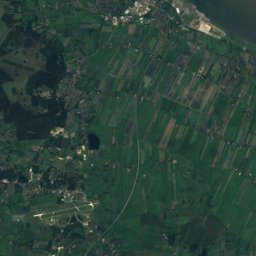
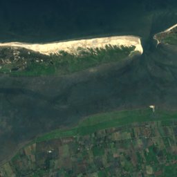
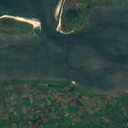
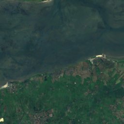
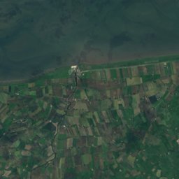
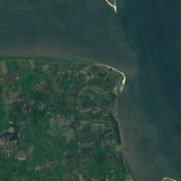
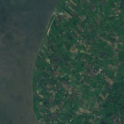
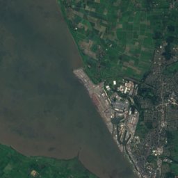
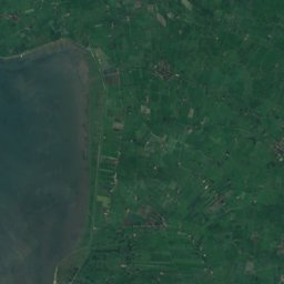
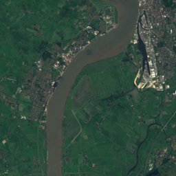
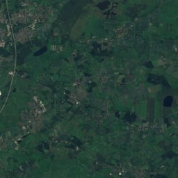
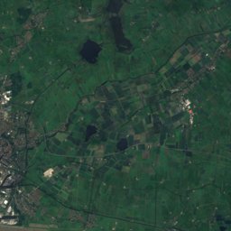
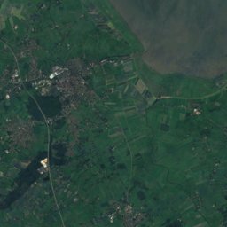
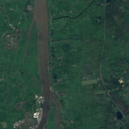
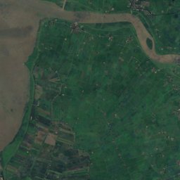
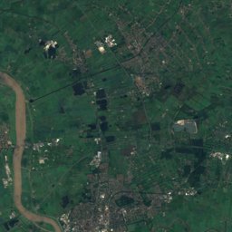
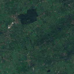
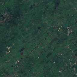
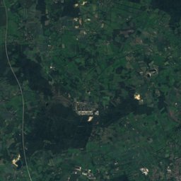
Satellite: Sentinel-2 cloudless 2016 by EOX IT Services GmbH · CC BY 4.0 · Contains modified Copernicus Sentinel data 2016
Outdoor activitiesSande, Germany
Outdoors near Sande
within 15 km38places
Camp sites19
Viewpoints6
53.50° N, 8.01° EElevation 2 mUTC+2 · Central European Summer Time
When to goSande · weather score
Best timeMay–Jul
October: high / low14° / 7°
Camp sites
| Name | Nearby | Details |
|---|---|---|
| Strandcampingplatz Dangast | 9.9 km | Website |
| KNAUS Campingpark Eckwarderhörne | 14.7 km | Website |
| Campingplatz Rennweide | 9.1 km | Website |
| Nordsee Park Hooksiel | 14.9 km | Website |
| Friesland-Camping | 7.2 km | Website |
| Camping-Club Grüner Wald | 10.5 km | Website |
| Camping auf dem Bauernhof Dangaster Weide | 10.6 km | Website |
| Wohnmobil-Parkplatz am Nautimocaravans & motorhomes | 6.6 km | Website |
| Reisemobilstellplatz - Stadt Jevercaravans & motorhomes | 11.4 km | Website |
| Wohnmobilstellplatz Altmarienhausencaravans & motorhomes | 0.8 km | Website |
| Wohnmobilstellplatz-Jade-Wilhelmshavencaravans & motorhomes | 5 km | Website |
| Reisemobil-Stellplatz "Am Meerwasser-Hallenwellenbad"caravans & motorhomes | 14.4 km | Website |
Viewpoints
| Name | Nearby | Details |
|---|---|---|
| Salzwiesenlehrpfad | 3.4 km | |
| Rüstringer Berg | 10.9 km | 13 m |
| KW Brücke | 8.1 km | |
| A.d. Rennweide | 9.2 km | |
| Namenstafel Wilhelmshaven | 9.5 km | |
| Schleusenblick | 11.2 km |
Water parks
Theme parks
Surf spots
| Name | Nearby | Details |
|---|---|---|
| Hooksieler Surf Club e V.surf | 15 km | Website |
| Surf Companysurf | 4.6 km |
Waves, next days
| Sat 24 | Sun 25 | Mon 26 | Tue 27 | Wed 28 | |
|---|---|---|---|---|---|
| Hooksieler Surf Club e V. | 4.4 m10 s · west | 4 m8 s · south-west | 4.2 m8 s · south-west | 3.7 m8 s · south-west | 2.7 m9 s · west |
| Surf Company | 4 m10 s · west | 3.8 m8 s · south-west | 3.9 m8 s · south-west | 3.4 m8 s · south-west | 2.5 m9 s · west |
Highest wave of each day in open water near the spot (significant height and period), from a global wave model; the break itself can differ.
Mountain huts
| Name | Nearby | Details |
|---|---|---|
| Schutzhütteunstaffed shelter | 12 km |
Climbing
| Name | Nearby | Details |
|---|---|---|
| Monte Pinnowcrag | 2 km | Website |
Golf courses
| Name | Nearby | Details |
|---|---|---|
| Golfclub Wilhelmshaven-Friesland e.V. | 5 km |
Aquariums
| Name | Nearby | Details |
|---|---|---|
| Aquarium Wilhelmshaven | 8.6 km | Website |
Diving
- Banter See - UWC Heim5.3 km
Places come from an open map made by volunteers: well-known sites are there, small or new ones may be missing. Opening times and prices change, so check before you go.