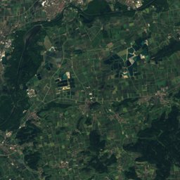
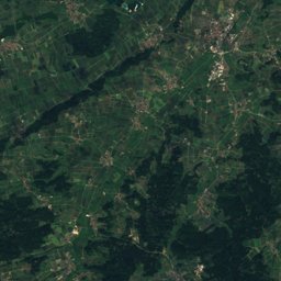
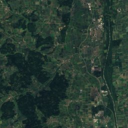
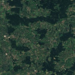
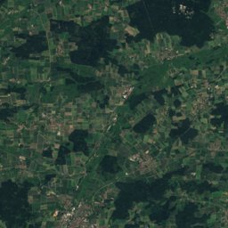
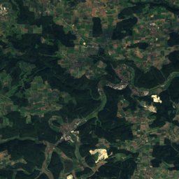
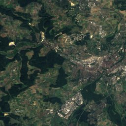
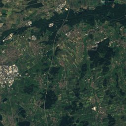
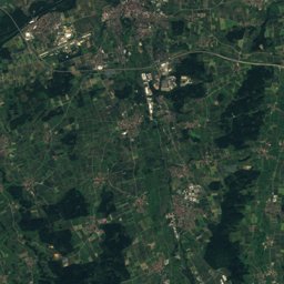
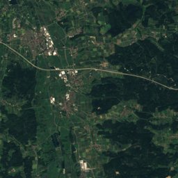
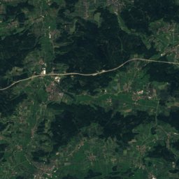
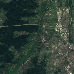
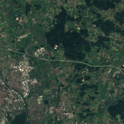
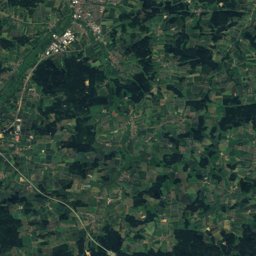
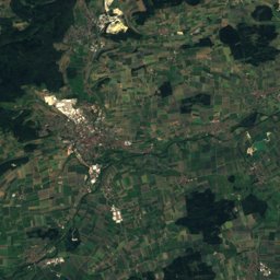
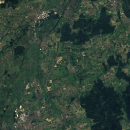
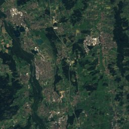
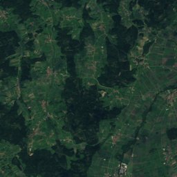
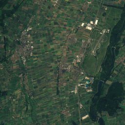
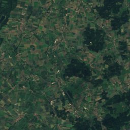
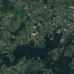
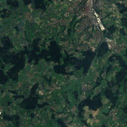
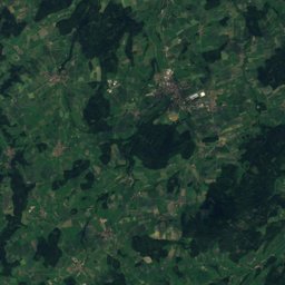
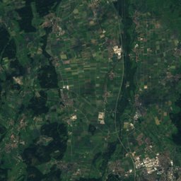
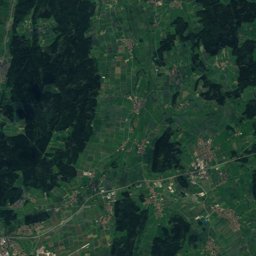
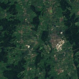
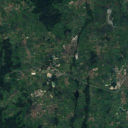
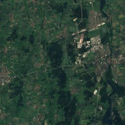
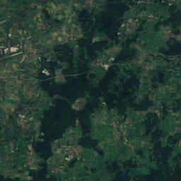
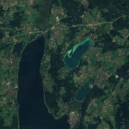
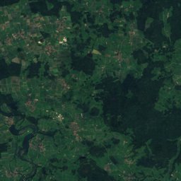
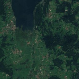
Satellite: Sentinel-2 cloudless 2016 by EOX IT Services GmbH · CC BY 4.0 · Contains modified Copernicus Sentinel data 2016
Outdoor activitiesSalgen
Outdoors near Salgen
within 15 km21places
Viewpoints8
Camp sites7
48.13° N, 10.48° EElevation 559 mUTC+1 · Central European Standard Time
When to goSalgen · weather score
Best timeJul–Sep
October: high / low14° / 5°
Viewpoints
Camp sites
| Name | Nearby | Details |
|---|---|---|
| Campingplatz Settele | 7.4 km | Website |
| Kur- & Vitalcamping | 14.8 km | Website |
| Wohnmobilpark Settelecaravans & motorhomes | 7.4 km | Website |
| Reisemobilpark der Therme Bad Wörishofencaravans & motorhomes | 14.9 km | Website |
| Stellplatz an der Kammelcaravans & motorhomes | 15 km | Website |
| Landlüftle | 10.2 km | Website |
| Garagenpark Staudencaravans & motorhomes | 14 km |
Hot springs & thermal baths
| Name | Nearby | Details |
|---|---|---|
| Therme Bad Wörishofenthermal baths | 14.8 km | Website |
| Naturtherme Bedernauthermal baths | 7.1 km |
Climbing
| Name | Nearby | Details |
|---|---|---|
| Kletteranlage des DAV Mindelheimclimbing gym | 10.8 km | Website |
Golf courses
| Name | Nearby | Details |
|---|---|---|
| Golfclub zu Gut Ludwigsberg | 12.8 km |
Theme parks
| Name | Nearby | Details |
|---|---|---|
| Allgäu Skyline Park | 13 km | Website |
Water parks
| Name | Nearby | Details |
|---|---|---|
| Spaßbad | 12.8 km | Website |
Diving
- Diving17.2 km
- Kaiser See18.1 km
- Bade- und Surfsee Thannhausen18.1 km
Places come from an open map made by volunteers: well-known sites are there, small or new ones may be missing. Opening times and prices change, so check before you go.