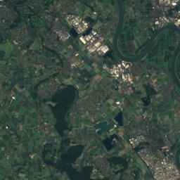
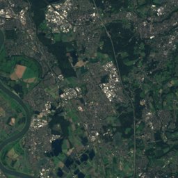
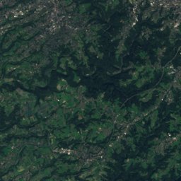
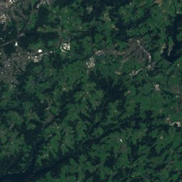
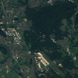
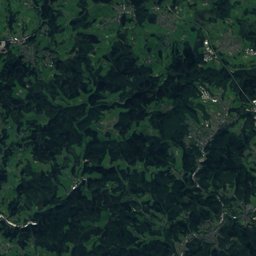
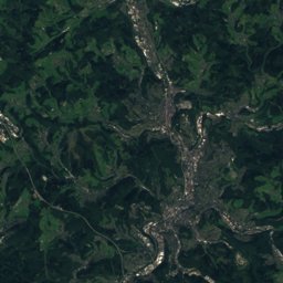
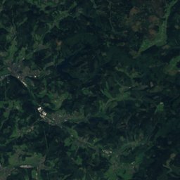
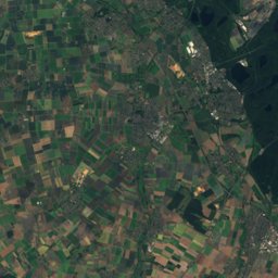
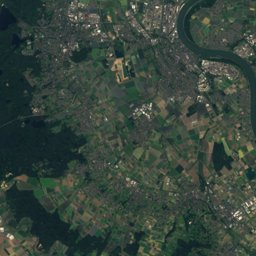
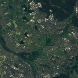
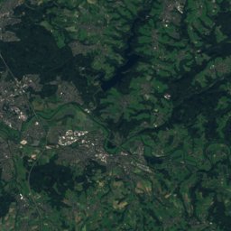
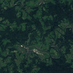
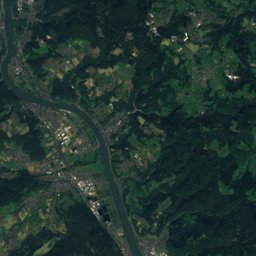
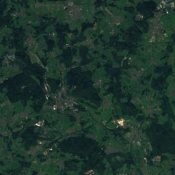
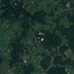
Satellite: Sentinel-2 cloudless 2016 by EOX IT Services GmbH · CC BY 4.0 · Contains modified Copernicus Sentinel data 2016
Outdoor activitiesRuppichteroth
Outdoors near Ruppichteroth
within 15 km47places
Viewpoints22
Camp sites18
50.84° N, 7.48° EElevation 169 mUTC+1 · Central European Standard Time
When to goRuppichteroth · weather score
Best timeJul–Sep
October: high / low14° / 7°
Viewpoints
| Name | Nearby | Details |
|---|---|---|
| Bismarckturm Wiehl | 12 km | 242 m |
| Aussichtsturm auf dem Lindchen | 8.7 km | |
| Die Mauer | 10 km | Website |
| Römerquelle | 3.5 km | |
| Panoramafenster | 7.4 km | |
| Düsseldorfer Hütte | 7.7 km | |
| Siegfall | 8.5 km | |
| Tafel3 | 8.5 km | |
| Tafel4 | 8.5 km | |
| Siegblick | 8.8 km | |
| Panarbora Baumwipfelpfad und Aussichtsturm | 8.8 km | |
| Leuscheider Höhe | 9 km |
Viewpoints in North Rhine-Westphalia
Camp sites
| Name | Nearby | Details |
|---|---|---|
| Siegpark-Hennef - Camping an der Sieg | 13.5 km | Website |
| Campingplatz Dattenfeld | 6.6 km | Website |
| Campingplatz Happach | 9.9 km | Website |
| Camping Paul | 14.8 km | Website |
| Camping Bröltal | 6.5 km | Website |
| Camping Krawinkel | 8 km | Website |
| Siegtal Camping | 13.7 km | Website |
| Camp-Rottura | 14.9 km | Website |
| Wohnmobilstellplatz “Dreisel”caravans & motorhomes | 8.3 km | Website |
| An der Burgruinecaravans & motorhomes | 7.5 km | Website |
| Wohnmobilstellplatz Nümbrechtcaravans & motorhomes | 7.5 km | Website |
| Wohnmobilstellplätze "Siegbrücke"caravans & motorhomes | 7.9 km | Website |
Camp sites in North Rhine-Westphalia
Golf courses
| Name | Nearby | Details |
|---|---|---|
| Golfclub Burg Overbach | 9 km | Website |
| Golfanlage Gut Heckenhof | 9.9 km | |
| Golf-Park Nümbrecht | 8 km |
Golf courses in North Rhine-Westphalia
Theme parks
Zoos
Ski areas
Diving
- Indoor-Tauchcenter dive4life19.2 km
Places come from an open map made by volunteers: well-known sites are there, small or new ones may be missing. Opening times and prices change, so check before you go.