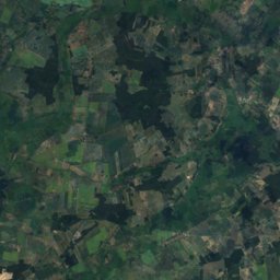
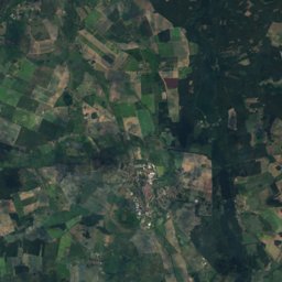
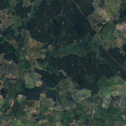
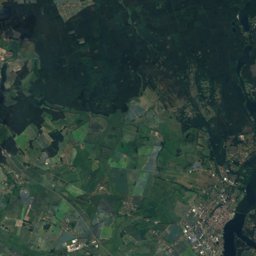
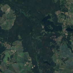
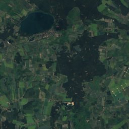
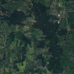
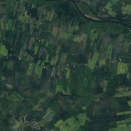
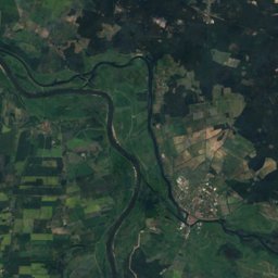
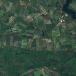
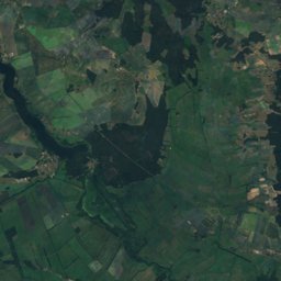
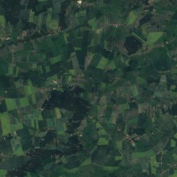
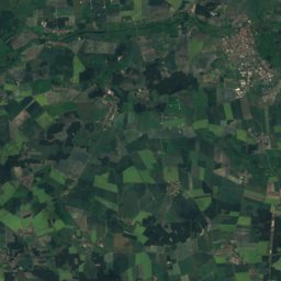
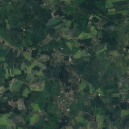
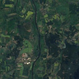
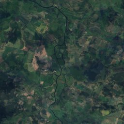
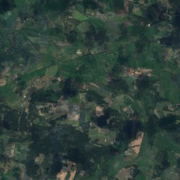
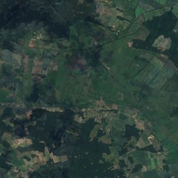
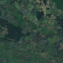
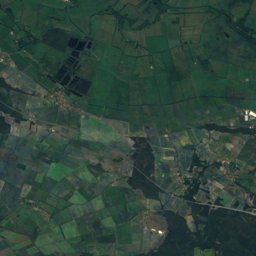
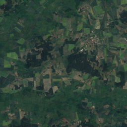
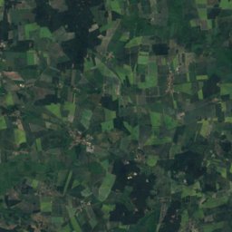
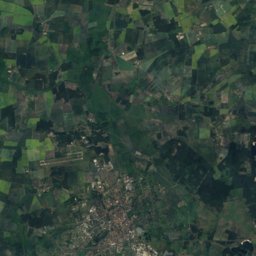
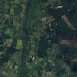
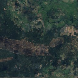
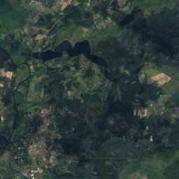
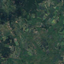
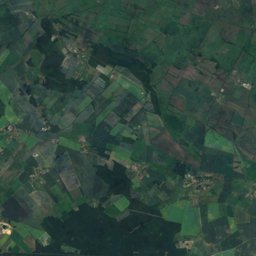
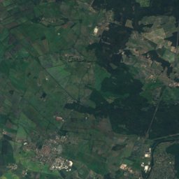
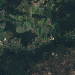
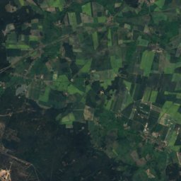
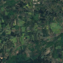
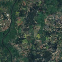
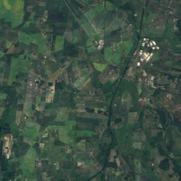
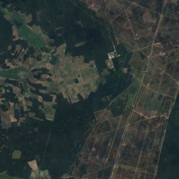
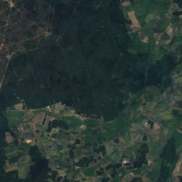
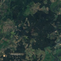
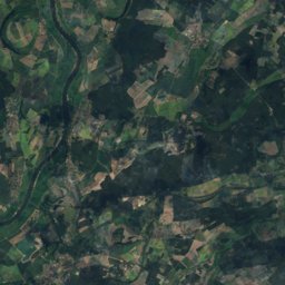
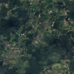
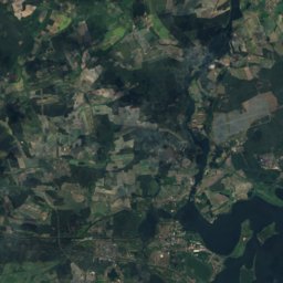
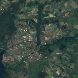
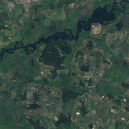
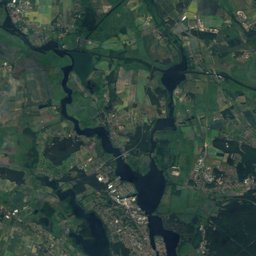
Satellite: Sentinel-2 cloudless 2016 by EOX IT Services GmbH · CC BY 4.0 · Contains modified Copernicus Sentinel data 2016
Outdoor activitiesRathenow
Outdoors near Rathenow
within 15 km30places
Camp sites16
Viewpoints13
52.61° N, 12.34° EElevation 31 mUTC+1 · Central European Standard Time
When to goRathenow · weather score
Best timeMay–Jun · Sep
October: high / low14° / 6°
Camp sites
| Name | Nearby | Details |
|---|---|---|
| Campingplatz Rathenow „Am Steggel“ | 4.2 km | ★★★★ · Website |
| Campingpark Buntspecht | 8.1 km | Website |
| Campingplatz Seeblick | 6.7 km | Website |
| Wasserwanderrastplatz Wassersuppe | 7.4 km | Website |
| Havel-Oasecaravans & motorhomes | 14.4 km | Website |
| Wohnmobilstellplatz Rathenowcaravans & motorhomes | 0.2 km | Website |
| Biwakplatz Mögelinbackcountry | 5.8 km | Website |
| Biwakplatz Grützbackcountry | 7.2 km | Website |
| Biwakplatz Milowbackcountry | 9.5 km | Website |
| Biwakplatz Bahnitzbackcountry | 13 km | Website |
| Campingplatz Grütz | 7 km | |
| Biwakplatz Göttlin | 3.7 km |
Viewpoints
| Name | Nearby | Details |
|---|---|---|
| Bismarckturm | 1 km | Website |
| Stargaze | 12 km | |
| Hochstand der Waldschule | 4.4 km | |
| Vogelbeobachtungshütte | 8.3 km | |
| Aussichtsplattform - Buga 2015 | 8.8 km | |
| Beobachtungsturm | 9.4 km | |
| Quellteich-Blick | 9.6 km | |
| Havelblick | 10.4 km | |
| Blick zum Flugplatz | 11 km | |
| Seeblick | 11.3 km | |
| Vogelbeobachtungshütte | 11.7 km | |
| Blick zur Kahnschleuse | 13.1 km |
Golf courses
| Name | Nearby | Details |
|---|---|---|
| Golf Resort Semlin am See | 5.4 km | Website |
Places come from an open map made by volunteers: well-known sites are there, small or new ones may be missing. Opening times and prices change, so check before you go.