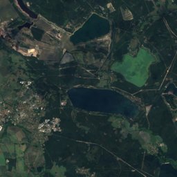
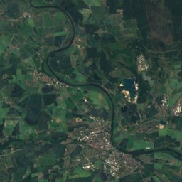
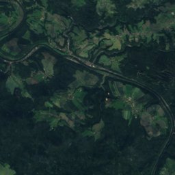
Satellite: Sentinel-2 cloudless 2016 by EOX IT Services GmbH · CC BY 4.0 · Contains modified Copernicus Sentinel data 2016
Outdoor activitiesRadebeul
Outdoors near Radebeul
within 15 km136places
Viewpoints67
Camp sites29
51.11° N, 13.66° EElevation 120 mUTC+1 · Central European Standard Time
When to goRadebeul · weather score
Best timeMay–Jun · Sep
October: high / low15° / 6°
Viewpoints
Camp sites
| Name | Nearby | Details |
|---|---|---|
| Ferienpark Bad Sonnenland | 4.3 km | Website |
| Campingplatz „Carad am See“ | 13.5 km | Website |
| Mittelteichbad Moritzburg | 8.2 km | Website |
| Campingplatz Dresden-Nord | 5.5 km | Website |
| Campingplatz Mockritz | 11.9 km | Website |
| Am Badesee Coswig-Kötitz | 6.9 km | Website |
| Rehbocktal | 12 km | Website |
| Kinder- & Jugenddorf "Karl May" | 4.4 km | Website |
| Schaffer-Mobilcaravans & motorhomes | 2.8 km | Website |
| roll&restcaravans & motorhomes | 12.4 km | Website |
| Waldbad Oberau | 10.6 km | Website |
| Wohnmobilstellplatz "Sachsenplatz" Dresdencaravans & motorhomes | 8.9 km | Website |
Climbing
| Name | Nearby | Details |
|---|---|---|
| Hoher Steincrag | 4.9 km | 199 m · Website |
| Klettergarten „Plauenscher Grund“crag | 9.4 km | Website |
| Kletterarena Dresdenclimbing gym | 8.2 km | Website |
| SBB-Vereinszentrumclimbing gym | 7.7 km | Website |
| Deutscher Alpenverein Kletterzentrumclimbing gym | 7.7 km | Website |
| boulderdromeclimbing gym | 5 km | Website |
| Mandala Boulderhalleclimbing gym | 7.6 km | Website |
| Bouldercityclimbing gym | 7.7 km | Website |
| Mandala Postplatzclimbing gym | 8 km | Website |
| SportScheckcrag | 8.3 km | Website |
| Kurt und Georg Löwinger Steigvia ferrata | 9.4 km | 4- · 25 m · Website |
| Prothesenwandcrag | 9.9 km | Website |
Zoos
Theme parks
Water parks
Surf spots
| Name | Nearby | Details |
|---|---|---|
| Windsurfen Dresdenwindsurf | 3.2 km |
Golf courses
| Name | Nearby | Details |
|---|---|---|
| Golfclub Dresden Elbflorenz e.V. | 14.9 km |
Diving
- Tauchschule Abyss5.8 km
- Tauchtreff12 km
- Tauchschule Abyss13.3 km
- Ponton13.3 km
Places come from an open map made by volunteers: well-known sites are there, small or new ones may be missing. Opening times and prices change, so check before you go.