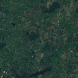
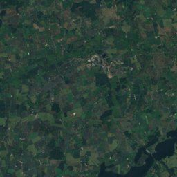
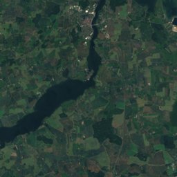
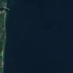





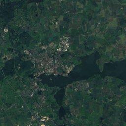




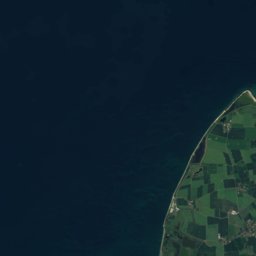
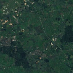
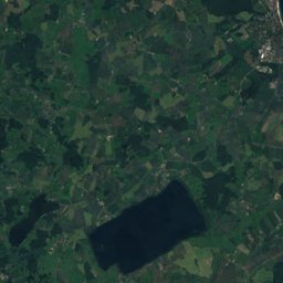
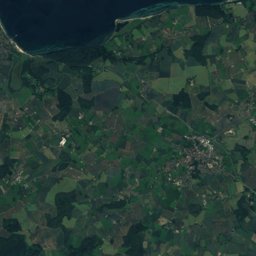
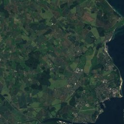
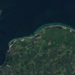

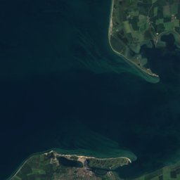
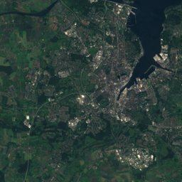
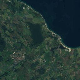
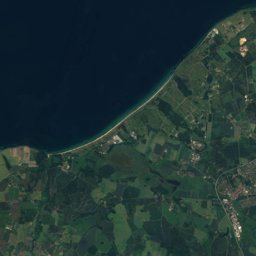
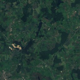
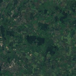
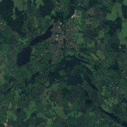
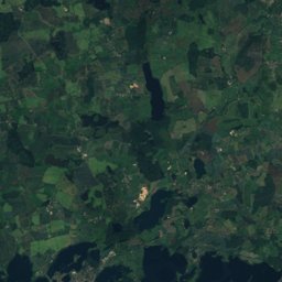
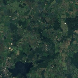
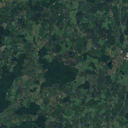
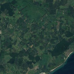
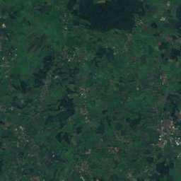
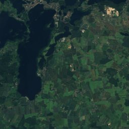
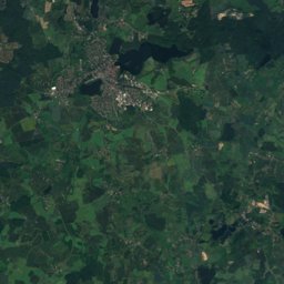
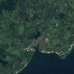
Satellite: Sentinel-2 cloudless 2016 by EOX IT Services GmbH · CC BY 4.0 · Contains modified Copernicus Sentinel data 2016
Outdoor activitiesPassade
Outdoors near Passade
within 15 km49places
Camp sites29
Viewpoints8
54.37° N, 10.32° EElevation 30 mUTC+2 · Central European Summer Time
When to goPassade · weather score
Best timeMay–Jun · Sep
October: high / low13° / 7°
Camp sites
| Name | Nearby | Details |
|---|---|---|
| Campingplatz Heidkoppel | 7.6 km | Website |
| Campingplatz Grasbleek | 8.2 km | Website |
| Camping Ferienpark California | 7.4 km | Website |
| Ferienanlage RegenBogen | 6.9 km | Website |
| Camping Fördeblick | 7.2 km | Website |
| Camping Bottsand | 7.2 km | Website |
| Campingplatz Hasselkrug | 8 km | Website |
| Ostsee-Camp Kliff Ellernbrook | 7.1 km | Website |
| Campingplatz Kiel-Falckenstein | 10.2 km | Website |
| Standcamping Radeland | 11.6 km | Website |
| Campingplatz Neustein | 7.4 km | Website |
| Campingpark Ostseestrand | 11.2 km | Website |
Camp sites in Schleswig-Holstein
Viewpoints
| Name | Nearby | Details |
|---|---|---|
| Rathausturm | 13 km | |
| Bakersberg | 14.6 km | 68 m |
| Wiker Balkon | 11.6 km | |
| Fördepanorama u. Kieler Bucht | 7.5 km | |
| Mönkeberger Bake | 8.2 km | |
| Ölberg | 9.4 km | |
| Fördeblick | 10.7 km | |
| Schleusen-Aussichtsplatform Kiel-Wik | 11.7 km |
Viewpoints in Schleswig-Holstein
Climbing
Climbing in Schleswig-Holstein
Golf courses
Golf courses in Schleswig-Holstein
Surf spots
| Name | Nearby | Details |
|---|---|---|
| DJH Youth Hostel Kielwindsurf | 12.8 km | Website |
| Surf Club Kiel e.V.windsurf | 12.6 km |
Waves, next days
| Fri 23 | Sat 24 | Sun 25 | Mon 26 | Tue 27 | |
|---|---|---|---|---|---|
| DJH Jugendherberge Kiel | 3.8 m7 s · south | 4.4 m11 s · west | 3.9 m10 s · west | 3.8 m9 s · south-west | 3.7 m9 s · south-west |
| Surf Club Kiel e.V. | 4 m7 s · south | 4.5 m11 s · west | 4 m10 s · west | 4 m9 s · south-west | 3.9 m9 s · south-west |
Highest wave of each day in open water near the spot (significant height and period), from a global wave model; the break itself can differ.
Zoos
Aquariums
| Name | Nearby | Details |
|---|---|---|
| Aquarium GEOMAR | 11.7 km | Website |
Diving
- Falkenstein8.9 km
- Kitzeberg9.2 km
- Falkenstein9.3 km
- Dieter's Tauchshop18.2 km
Places come from an open map made by volunteers: well-known sites are there, small or new ones may be missing. Opening times and prices change, so check before you go.