










Skip to content
Destinations
Weather & climate
Nature
Outdoors
Culture
Events
Sky & live
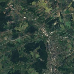
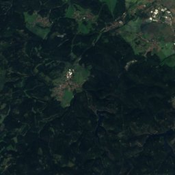
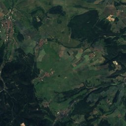
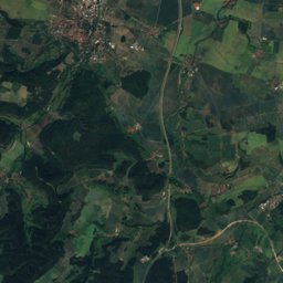
Satellite: Sentinel-2 cloudless 2016 by EOX IT Services GmbH · CC BY 4.0 · Contains modified Copernicus Sentinel data 2016
Outdoor activitiesOettern

Outdoors near Oettern

within 15 km32places
Viewpoints20
Camp sites6
50.92° N, 11.36° EElevation 246 mUTC+1 · Central European Standard Time
When to goOettern · weather score
JanFebMarAprMayJunJulAugSepOctNovDec46October
Best timeJun · Aug–Sep
October: high / low14° / 5°

Viewpoints

NameNearbyDetails
Bismarckturm Jena14.1 km329 m · Website
Paulinenturm4.6 km
Forstturm13.8 km
Denkmal Sperlingsberg 180610.2 km Website
Carolinenturm3.3 km
Hohe Nase2.8 km
Allee6.5 km
Fünf-Schlösser-Blick9.9 km
Rüttelsberg10.5 km
Schlossblick11.7 km
Ilmtalblick12.5 km
Alter Steinbruch12.5 km

Viewpoints in Thuringia

Camp sites

NameNearbyDetails
Camping Freizeitpark Stausee Hohenfelden13.9 km Website
Campingplatz Oettern0.8 km Website
Campingplatz Ettersburg13.5 km Website
Camping Tiefurt7.8 km Website
Bleichstraßecaravans & motorhomes5.7 km Website
Hermann-Brill-Platzcaravans & motorhomes7.6 km

Camp sites in Thuringia

Climbing

NameNearbyDetails
Plan B Jenaclimbing gym15 km Website
EnergieWände Kletterhalle Weimarclimbing gym8.2 km Website
Block'n'Roll Boulderhalleclimbing gym8.3 km Website

Climbing in Thuringia

Golf courses

NameNearbyDetails
GolfResort Weimarer Land5.2 km Website
Golfpark Jena10.6 km Website

Hot springs & thermal baths

NameNearbyDetails
Avenida-Therme Hohenfeldenthermal baths13.1 km Website

Places come from an open map made by volunteers: well-known sites are there, small or new ones may be missing. Opening times and prices change, so check before you go.