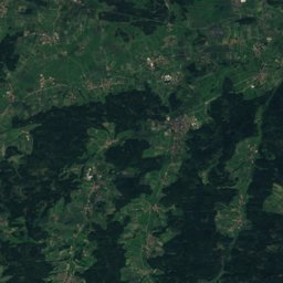
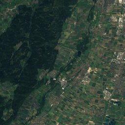
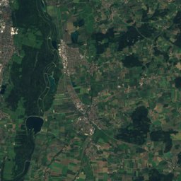
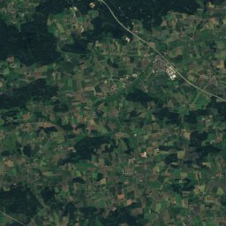
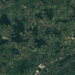
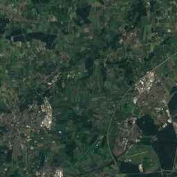
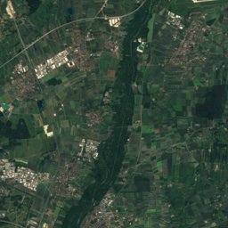
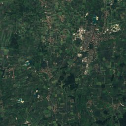
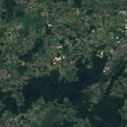
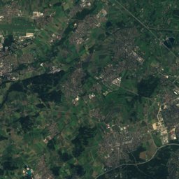
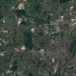
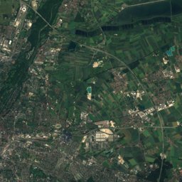
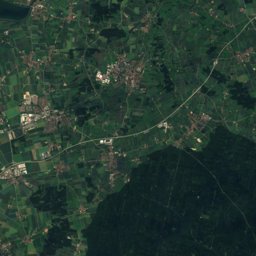
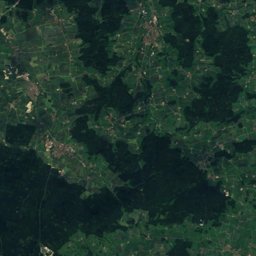
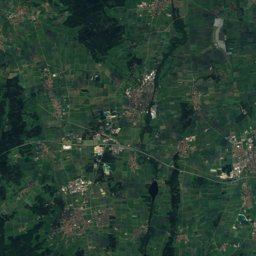
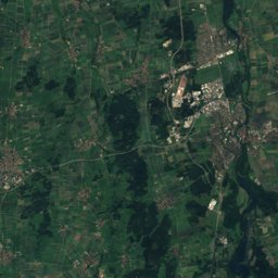
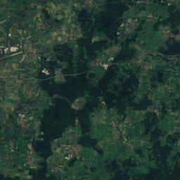
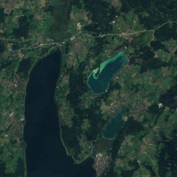
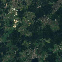
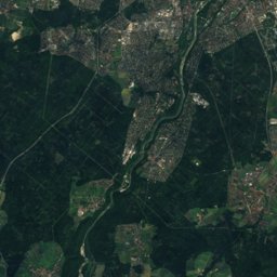
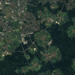
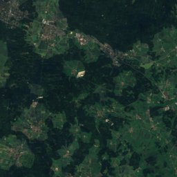
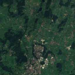
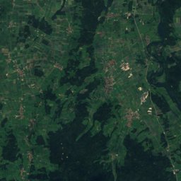
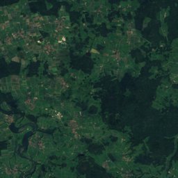
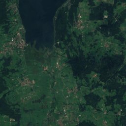
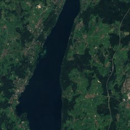
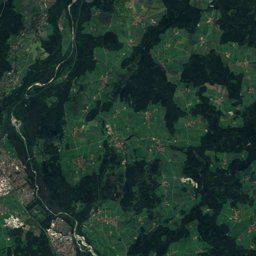
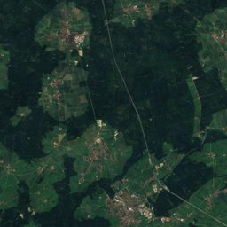
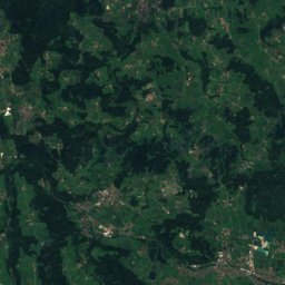
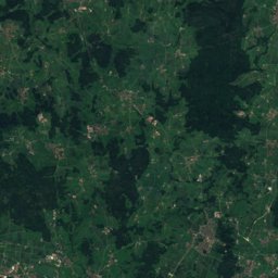
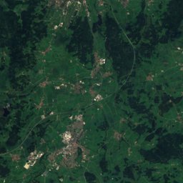
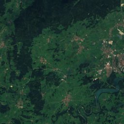
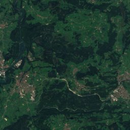
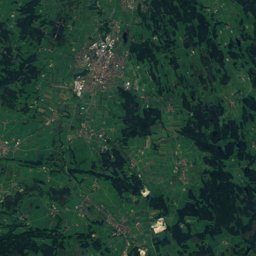
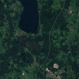
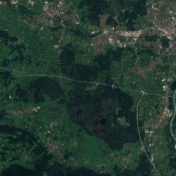
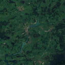
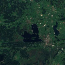
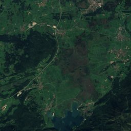
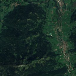
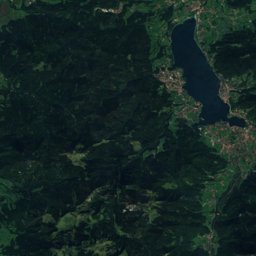
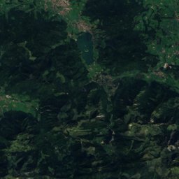
Satellite: Sentinel-2 cloudless 2016 by EOX IT Services GmbH · CC BY 4.0 · Contains modified Copernicus Sentinel data 2016
Outdoor activitiesMünsing
Outdoors near Münsing
within 15 km48places
Viewpoints23
Camp sites11
47.90° N, 11.37° EElevation 667 mUTC+2 · Central European Summer Time
When to goMünsing · weather score
Best timeMay · Jul–Aug
October: high / low14° / 5°
Viewpoints
| Name | Nearby | Details |
|---|---|---|
| Bismarckturm Assenhausen | 5 km | 665 m · Website |
| Ilkahöhe | 8.7 km | 726 m |
| Riemerschmid Gedenkstein | 6.2 km | |
| Weiße Wand | 6.8 km | Website |
| Peretshofer Höhe | 12.8 km | 729 m |
| Walchstädter Höhe | 5.8 km | 703 m |
| Ludwigshöhe | 13.3 km | 690 m |
| Pfarrbichl | 13 km | 679 m |
| Dorfner Höhe | 3.9 km | |
| Dorfener Höhe | 4 km | |
| Brahmspromenade | 6 km | |
| Seeblick | 6.3 km |
Camp sites
| Name | Nearby | Details |
|---|---|---|
| Jugendsiedlung Hochland | 13.8 km | Website |
| Campingplatz Königsdorf | 10.2 km | Website |
| Camping Ambach am See | 5.5 km | Website |
| Camping beim Fischer | 8.3 km | Website |
| Campingplatz Seeshaupt | 9.4 km | Website |
| Campingplatz Fohnsee | 13.7 km | Website |
| Campingplatz Wolfratshausen | 4 km | Website |
| Campingplatz Fohnsee 2 | 14 km | Website |
| Jugendzeltplatz Eitzenberger Weiher | 12.8 km | Website |
| Jugendcampingplatz der Freiwillige Feuerwehr Geretsried | 11.2 km | Website |
| Campingplatz Jugendherberge Possenhofen | 7.8 km |
Golf courses
| Name | Nearby | Details |
|---|---|---|
| Münchner Golf Club e.V. - Straßlach | 14.2 km | Website |
| Golfclub Beuerberg | 10.2 km | Website |
| Golfplatz Tutzing | 8.9 km | Website |
| Golfanlage Gut Rieden | 14 km | Website |
| Golfanlage Iffeldorf | 14 km | Website |
| Golfclub Starnberg e.V. | 14.3 km | Website |
| Golfclub Hohenpähl | 13.2 km | Website |
| St. Eurach Land- und Golf Club | 12.7 km | Website |
| Golfanlage Bergkramerhof | 2.9 km | Website |
| Golfclub München-Riedhof | 8.3 km | Website |
| Golfplatz Feldafing | 6.9 km | Website |
Climbing
| Name | Nearby | Details |
|---|---|---|
| Kletterturm DAV-Sektion Starnbergclimbing gym | 13 km | Website |
Theme parks
| Name | Nearby | Details |
|---|---|---|
| Märchenwald Isartal | 5.4 km | Website |
Zoos
| Name | Nearby | Details |
|---|---|---|
| Voliere Beuerberg | 8.8 km |
Diving
- Allmannshausen: Naturschutzgebiet3.8 km
- Allmannshauser Steilwand4.2 km
- Allmannshausen: Wasserwacht (Tauchen)4.2 km
- Allmannshausen: Seeburg4.4 km
Places come from an open map made by volunteers: well-known sites are there, small or new ones may be missing. Opening times and prices change, so check before you go.