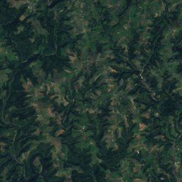
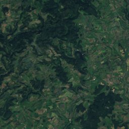
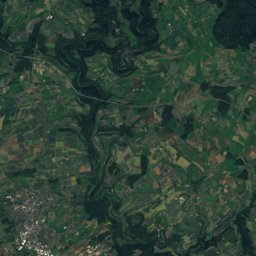
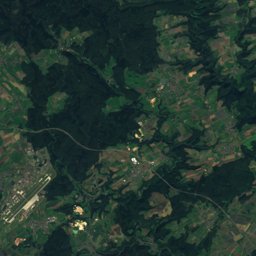
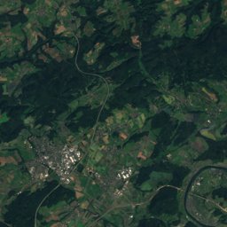
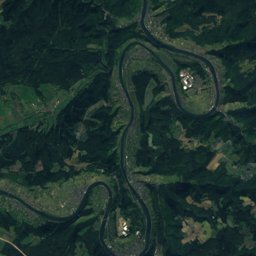
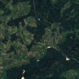
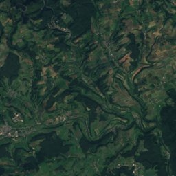
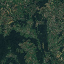
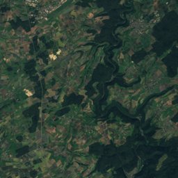
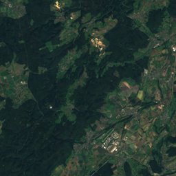
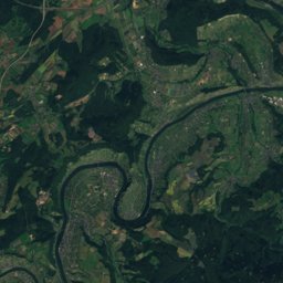
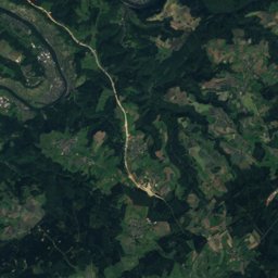
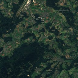
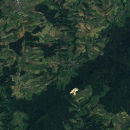
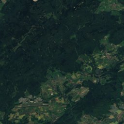
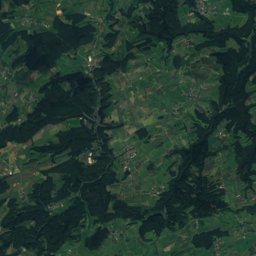
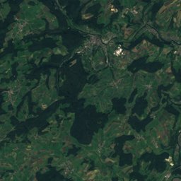
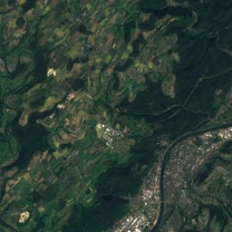
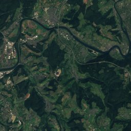
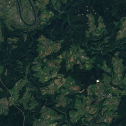
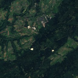
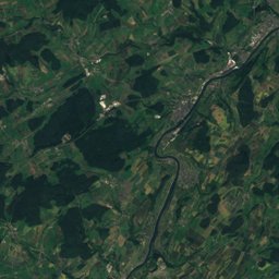
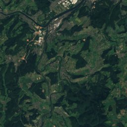
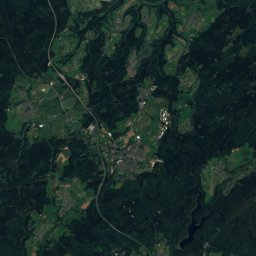
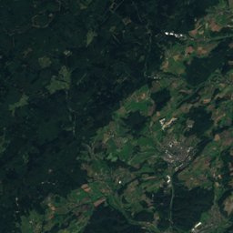
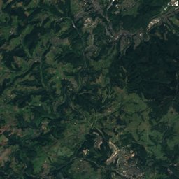
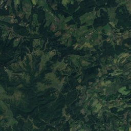
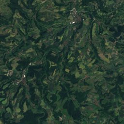
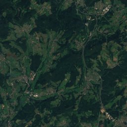
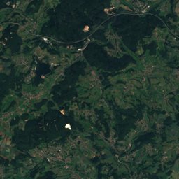
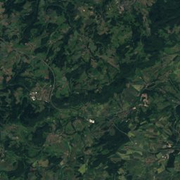
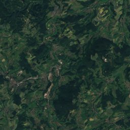
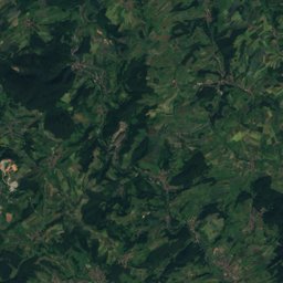
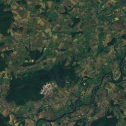
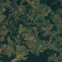
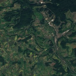
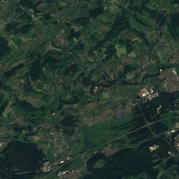
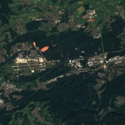
Satellite: Sentinel-2 cloudless 2016 by EOX IT Services GmbH · CC BY 4.0 · Contains modified Copernicus Sentinel data 2016
Outdoor activitiesMalborn
Outdoors near Malborn
within 15 km51places
Viewpoints26
Camp sites20
49.72° N, 6.98° EElevation 477 mUTC+2 · Central European Summer Time
When to goMalborn · weather score
Best timeJun–Jul · Sep
October: high / low13° / 6°
Viewpoints
| Name | Nearby | Details |
|---|---|---|
| Wehlenstein | 11 km | 668 m |
| Erbeskopfturm | 7.8 km | |
| Aussichtsturm Hattgenstein | 12.4 km | |
| Aussichtspunkt Felsenkreuzkanzel | 14.5 km | 322 m · Website |
| Panoramablick | 12.5 km | Website |
| Moselkino Leiwen | 12.9 km | Website |
| Parking Mehringer Höhe - Moselle valley view | 14.1 km | |
| Turm Nationalparkblick | 3.7 km | |
| Naturdenkmal Kugelbaum | 7.4 km | |
| Windklang | 7.7 km | |
| Gräfendhroner Wacken | 8.9 km | |
| Beilfels | 10.1 km |
Camp sites
| Name | Nearby | Details |
|---|---|---|
| Camping Reinsfeld | 9 km | ★ · Website |
| Camping Sonnenberg | 11.6 km | Website |
| Outdoorcampingplatz Massingsmühle | 8.4 km | Website |
| Camping Moselhöhe | 10.1 km | Website |
| Campingplatz „Pölicher Held“ | 13 km | Website |
| Campingplatz Trittenheim | 12.9 km | Website |
| Wohnmobilstellplatz Trittenheimcaravans & motorhomes | 13.4 km | Website |
| Moselbeachcaravans & motorhomes | 14.7 km | Website |
| Wohnmobilstellplatz Zellerhofcaravans & motorhomes | 14.6 km | Website |
| Reisemobilstellplatz Thalfangcaravans & motorhomes | 3.9 km | Website |
| Auf den Schiefergrubencaravans & motorhomes | 14 km | Website |
| Wohnmobilstellplatz "Am Labachweg"caravans & motorhomes | 7.7 km | Website |
Theme parks
| Name | Nearby | Details |
|---|---|---|
| Alpine Coaster Triolago | 14.8 km | Website |
| Segway Parcours | 14.9 km |
Zoos
| Name | Nearby | Details |
|---|---|---|
| Wildgehege | 12.4 km | |
| Tierpark Birkenfeld | 14.9 km |
Golf courses
| Name | Nearby | Details |
|---|---|---|
| Golfpark Bostalsee | 12.1 km |
Diving
- Bostalsee18 km
Places come from an open map made by volunteers: well-known sites are there, small or new ones may be missing. Opening times and prices change, so check before you go.