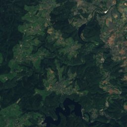
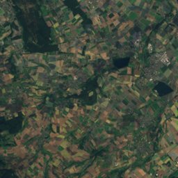
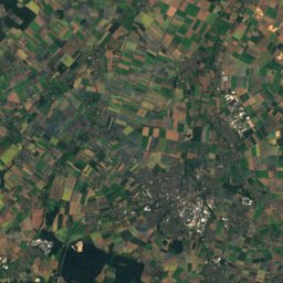
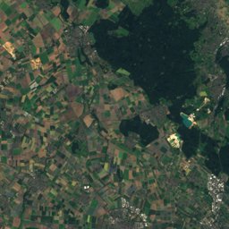
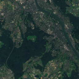
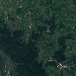
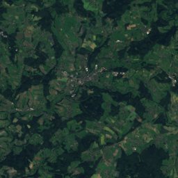
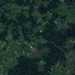
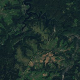
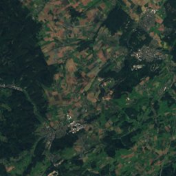
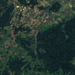
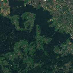
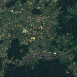
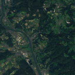
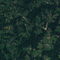
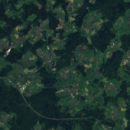
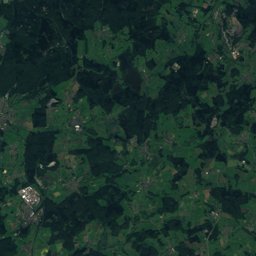
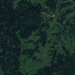
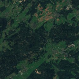
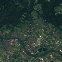
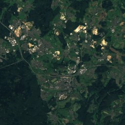
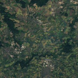
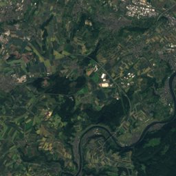
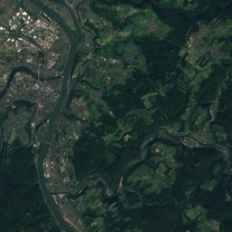
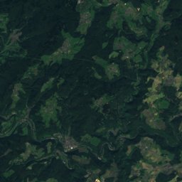
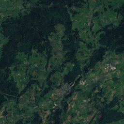
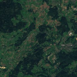
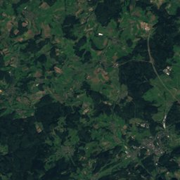
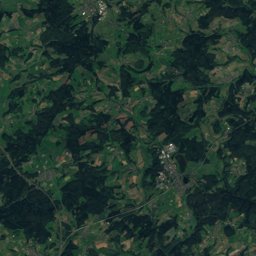
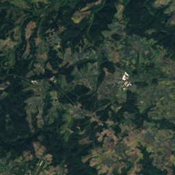
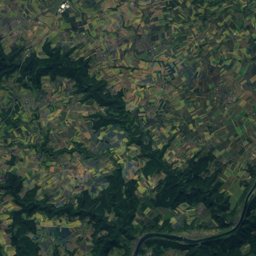
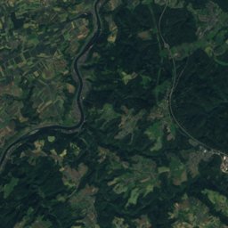
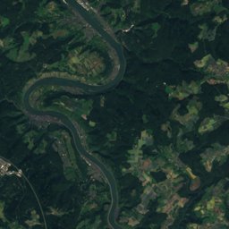
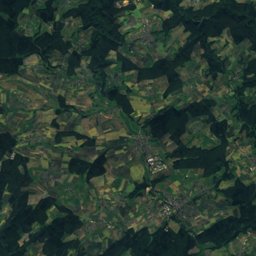
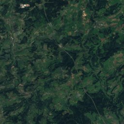
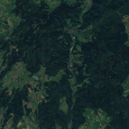
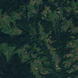
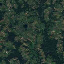
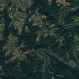
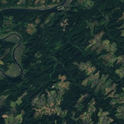
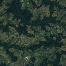
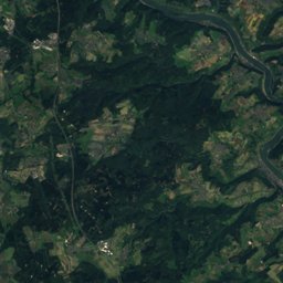
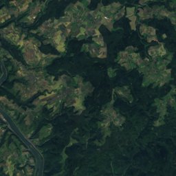
Satellite: Sentinel-2 cloudless 2016 by EOX IT Services GmbH · CC BY 4.0 · Contains modified Copernicus Sentinel data 2016
Outdoor activitiesKottenheim
Outdoors near Kottenheim
within 15 km110places
Viewpoints56
Climbing34
50.35° N, 7.25° EElevation 231 mUTC+2 · Central European Summer Time
When to goKottenheim · weather score
Best timeJun · Aug–Sep
October: high / low14° / 6°
Viewpoints
| Name | Nearby | Details |
|---|---|---|
| Hochsimmerturm | 3.6 km | 588 m |
| Richtfunkturm Gänsehals | 6.2 km | |
| Lydia-Turm | 8.7 km | |
| Bergfried | 12.8 km | |
| Udelsheck | 6.8 km | 485 m |
| Goloturm | 3.3 km | |
| Bergfried | 12.6 km | |
| Fernblick Traumpfad | 3.1 km | |
| Simmer-Hütte | 3.4 km | |
| Fernblick zum Rheintal | 3.4 km | |
| Aussichtspunkt Genovevahöhle | 3.4 km | |
| Fernblick 90km | 3.6 km |
Climbing
| Name | Nearby | Details |
|---|---|---|
| Freiraum Basecampclimbing gym | 14.9 km | Website |
| Romani ite domumclimbing gym | 10 km | |
| Mordorclimbing gym | 9.8 km | |
| Lichtungclimbing gym | 10.3 km | |
| Südblöckeclimbing gym | 9.7 km | |
| Kruzifixclimbing gym | 10.4 km | |
| Mauerlaycrag | 10.5 km | |
| Labyrinthclimbing gym | 9.9 km | |
| Bleusardclimbing gym | 10.7 km | |
| Westblöckeclimbing gym | 9.7 km | |
| Terra incognitaclimbing gym | 9.8 km | |
| Daumencrag | 0.9 km |
Camp sites
| Name | Nearby | Details |
|---|---|---|
| Camping Laacher See | 8.2 km | Website |
| Falkleymühle | 9.9 km | Website |
| Siesta Campingplatz | 4.5 km | Website |
| Campingplatz Leutesdorf | 14.9 km | Website |
| Leyenwiese | 12.8 km | Website |
| Zeltwiese Laacherseehaus | 4.8 km | Website |
| Reisemobilstellplatz am Viehmarkt Mayencaravans & motorhomes | 3.4 km | Website |
| Wohnmobilstellplatz Oberzissencaravans & motorhomes | 12 km | Website |
| Stellplatz Monte Mare Andernachcaravans & motorhomes | 12.8 km | Website |
| Wohnmobilstellplatz Stadthalle Münstermaifeldcaravans & motorhomes | 14.3 km | Website |
| Jugendzeltplatz St. Jost | 10.9 km | |
| Wohnmobilstellplatz Brauerstraße Mendigcaravans & motorhomes | 3.8 km |
Mountain huts
| Name | Nearby | Details |
|---|---|---|
| Schutzhütte Brohltahlblickunstaffed shelter | 13.2 km |
Golf courses
| Name | Nearby | Details |
|---|---|---|
| Swin Golf-Anlage Am Neuen Maarhof | 13.3 km |
Theme parks
| Name | Nearby | Details |
|---|---|---|
| Tolli-Park | 2 km | Website |
Water parks
| Name | Nearby | Details |
|---|---|---|
| Erlebnisbad Münstermaifeld | 13.9 km |
Places come from an open map made by volunteers: well-known sites are there, small or new ones may be missing. Opening times and prices change, so check before you go.