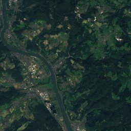
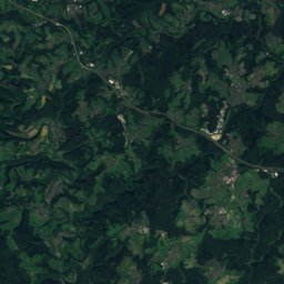
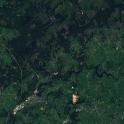
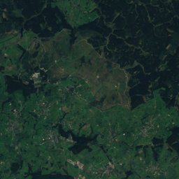
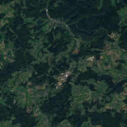
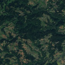
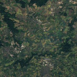
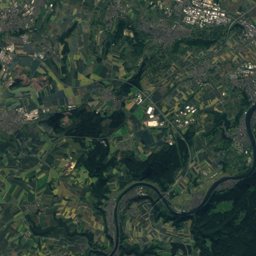
Satellite: Sentinel-2 cloudless 2016 by EOX IT Services GmbH · CC BY 4.0 · Contains modified Copernicus Sentinel data 2016
Outdoor activitiesKelberg
Outdoors near Kelberg
within 15 km48places
Viewpoints26
Camp sites17
50.29° N, 6.92° EElevation 481 mUTC+1 · Central European Standard Time
When to goKelberg · weather score
Best timeJun · Aug–Sep
October: high / low13° / 6°
Viewpoints
| Name | Nearby | Details |
|---|---|---|
| Booser Eifelturm | 6.9 km | Website |
| Vulcano Infoplattform | 12.6 km | Website |
| Dronketurm | 14 km | |
| Emperor Wilhelm Tower | 12.4 km | |
| 11-Dörfer-Blick | 14 km | 530 m · Website |
| Aussichtsturm Eifelguck | 4.5 km | 557 m |
| Maarkreuz | 13.7 km | 535 m |
| Info und Aussichtsplattform "altes Pumpwerk" | 10 km | |
| Baumelbank Köttelbach | 2.1 km | |
| Hohe Eifel Blick | 7 km | |
| Panoramarahmen RENGEN | 8.9 km | |
| Aussichtspunkt Hömmerich | 8.9 km |
Camp sites
| Name | Nearby | Details |
|---|---|---|
| Camping am Nürburgring | 3.8 km | Website |
| Dockweiler Mühle | 10.7 km | Website |
| Frings-Mühle | 13.1 km | Website |
| Jungferweiher | 9.1 km | Website |
| Camping Am Maar | 14.6 km | Website |
| Jugendzeltplatz der Stadt Adenau im Extalbackcountry | 11.1 km | Website |
| Wohnmobilpark am Lieserbogencaravans & motorhomes | 12 km | Website |
| Nürburgring Caravan Parkcaravans & motorhomes | 5.2 km | Website |
| Wohnmobilpark Vulkaneifelcaravans & motorhomes | 14 km | Website |
| Schwalbenschwanz | 8.8 km | |
| Jugendzeltplatz Leimbachsbrückbackcountry | 10.9 km | Website |
| Wohnmobilstellplatz Masburgcaravans & motorhomes | 14.8 km | Website |
Mountain huts
| Name | Nearby | Details |
|---|---|---|
| Wacholderhüttestaffed | 12.6 km | Website |
| Grillhütte St. Florianunstaffed shelter | 13 km | |
| Matteshütteunstaffed shelter | 13.2 km |
Mountain huts in Rheinland-Pfalz
Zoos
| Name | Nearby | Details |
|---|---|---|
| Wild- und Erlebnispark Daun | 14.7 km | |
| Streichelzoo | 5.4 km |
Places come from an open map made by volunteers: well-known sites are there, small or new ones may be missing. Opening times and prices change, so check before you go.