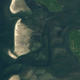
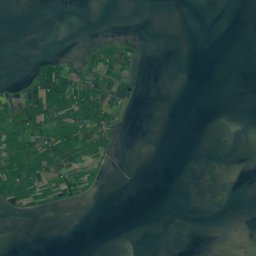
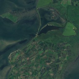
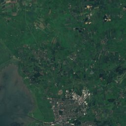
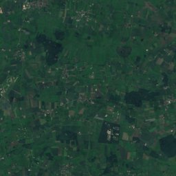
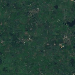
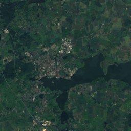
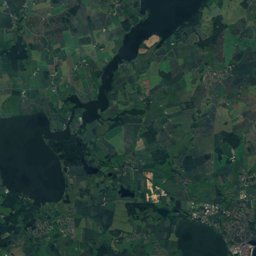
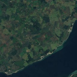
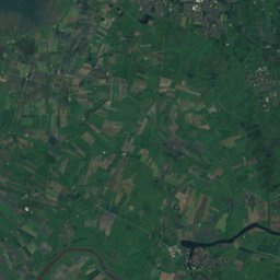
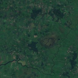
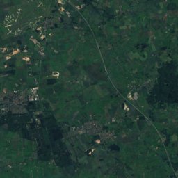
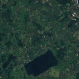
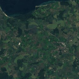
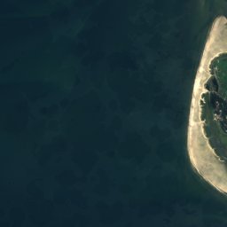
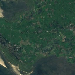
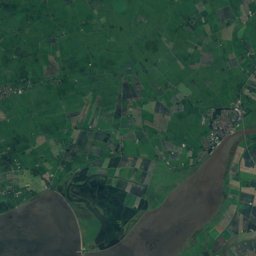
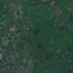
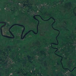
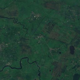
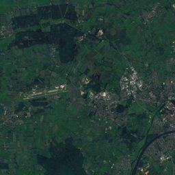
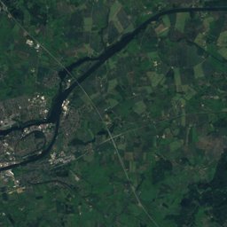
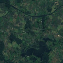

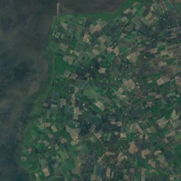
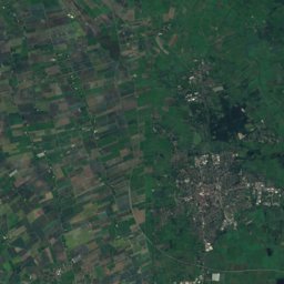
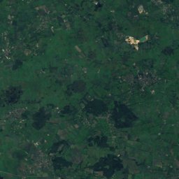
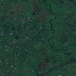
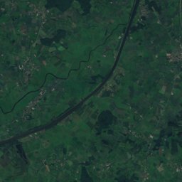
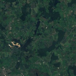

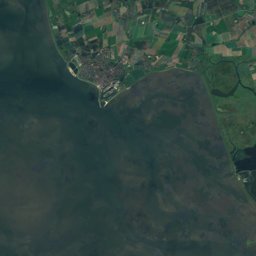
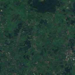
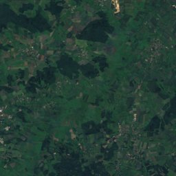
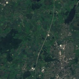

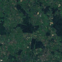
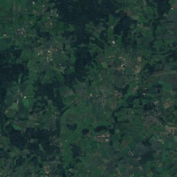
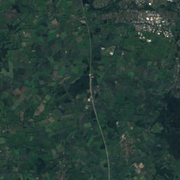
Satellite: Sentinel-2 cloudless 2016 by EOX IT Services GmbH · CC BY 4.0 · Contains modified Copernicus Sentinel data 2016
Outdoor activitiesHövede
Outdoors near Hövede
within 15 km23places
Camp sites14
Viewpoints7
54.24° N, 9.29° EElevation 5 mUTC+2 · Central European Summer Time
When to goHövede · weather score
Best timeMay–Jul
October: high / low13° / 6°
Camp sites
| Name | Nearby | Details |
|---|---|---|
| Eidertal | 7.3 km | Website |
| CampingOase Eider | 10.3 km | Website |
| Ferienpark Süderstapel | 12.4 km | Website |
| Wohnmobil-Stellplatz Heidecaravans & motorhomes | 12.7 km | Website |
| Wohnmobilstellplatz Tellingstedt | 4.4 km | Website |
| Gaststätte Jägerstuben, Barkenholmcaravans & motorhomes | 7.8 km | Website |
| Eiderhafen Lexfähre | 9.7 km | Website |
| Trekkingplatz Klimawald Nordhastedtbackcountry | 10 km | Website |
| Wohnmobilstellplatz Albersdorfcaravans & motorhomes | 10.4 km | Website |
| Trekkingplatz Gieselautal/Albersdorfbackcountry | 12.4 km | Website |
| 1nitetent Übernachtungsplatz 254 | 13.2 km | Website |
| Bargener Fähre | 6.2 km |
Camp sites in Schleswig-Holstein
Viewpoints
| Name | Nearby | Details |
|---|---|---|
| Hellhornberg | 2.7 km | |
| Delver Koog | 10.5 km | |
| Hartshoper Moor | 10.6 km | |
| Fuchsberg | 11.5 km | |
| Gieselautal | 12.5 km | |
| Königsmoor | 12.5 km | |
| Beobachtungsturm "Alte Sorge-Schleife" | 13.4 km |
Viewpoints in Schleswig-Holstein
Mountain huts
| Name | Nearby | Details |
|---|---|---|
| Schutzhütteunstaffed shelter | 12.4 km |
Golf courses
| Name | Nearby | Details |
|---|---|---|
| Gut Apeldör | 7.2 km | Website |
Places come from an open map made by volunteers: well-known sites are there, small or new ones may be missing. Opening times and prices change, so check before you go.