

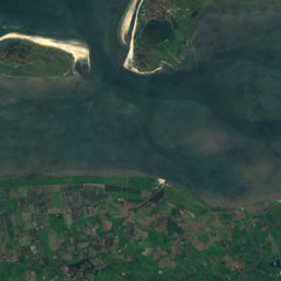
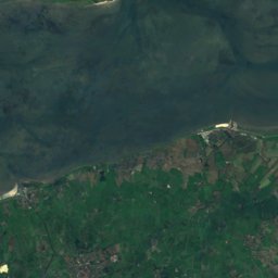
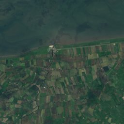

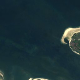
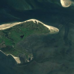
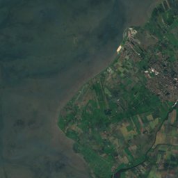
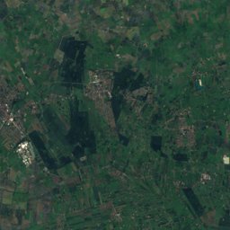
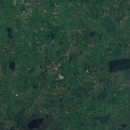
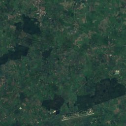
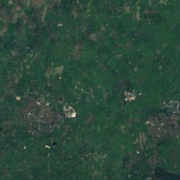
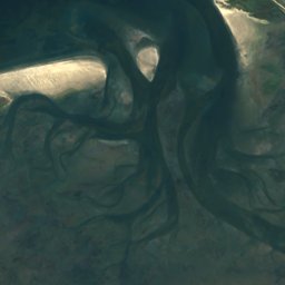
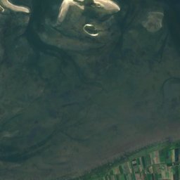
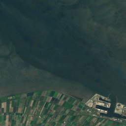
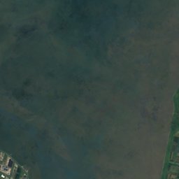
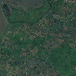
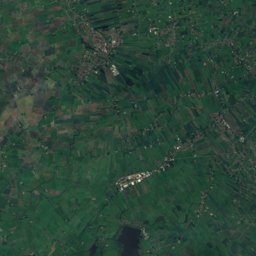
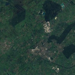
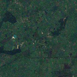
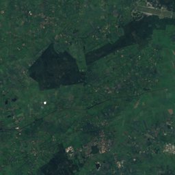
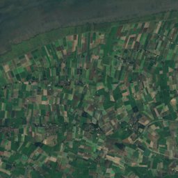
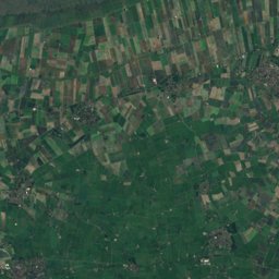
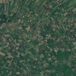
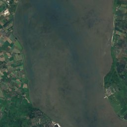
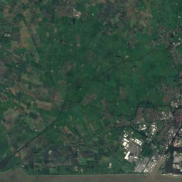
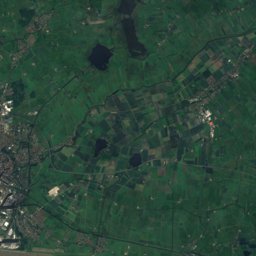
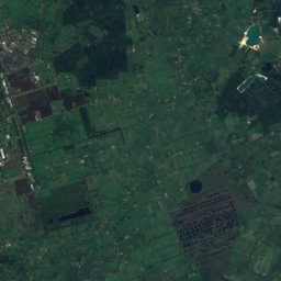
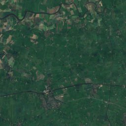
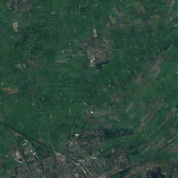
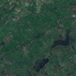
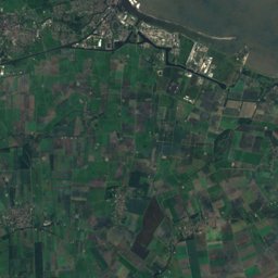
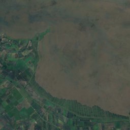
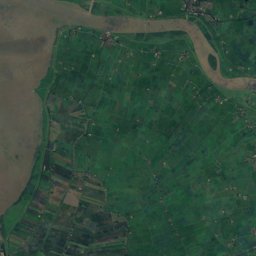
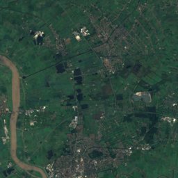
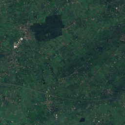
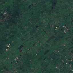
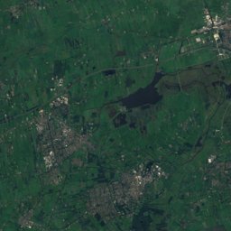
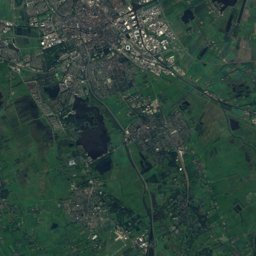
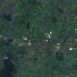
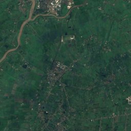
Satellite: Sentinel-2 cloudless 2016 by EOX IT Services GmbH · CC BY 4.0 · Contains modified Copernicus Sentinel data 2016
Outdoor activitiesHinte
Outdoors near Hinte
within 15 km30places
Camp sites15
Viewpoints12
53.41° N, 7.20° EElevation 1 mUTC+1 · Central European Standard Time
When to goHinte · weather score
Best timeMay–Jul
October: high / low14° / 7°
Camp sites
| Name | Nearby | Details |
|---|---|---|
| Camping am Deich | 12.3 km | Website |
| Campingplatz Knock | 12.9 km | Website |
| Campingplatz Großes Meerbackcountry | 8.3 km | Website |
| Reisemobilhafen am Deichcaravans & motorhomes | 11.7 km | Website |
| Wohnmobilhafen am Großen Meer (P2)caravans & motorhomes | 8.4 km | Website |
| Reisemobilhafen bei den Zwillingsmühlen Greetsielcaravans & motorhomes | 12 km | Website |
| Wohnmobilstellplatz Alter Emder Binnenhafencaravans & motorhomes | 4.9 km | Website |
| Ankerplatz Edeka Ditzumcaravans & motorhomes | 11.3 km | Website |
| Stellplatz Tjücher Moortuncaravans & motorhomes | 14.7 km | Website |
| Wohnmobilstellplatz Friesentherme Emdencaravans & motorhomes | 3.5 km | Website |
| Emder Kanu Club | 4.2 km | Website |
| Bei Cassicaravans & motorhomes | 14.1 km | Website |
Viewpoints
| Name | Nearby | Details |
|---|---|---|
| View of mill | 0.7 km | |
| Störtebekerturm | 13.8 km | 5 m |
| Schreyers Hoek | 4.7 km | |
| Schöpfwerk | 9.6 km | |
| Diekhörn | 10.4 km | |
| Siel | 11.4 km | |
| Pilsum Kreuzkirche | 12.5 km | |
| Knock | 13.8 km | |
| Industrie und Rinder | 14 km | |
| Vogelbeobachtung | 14.1 km | |
| Knock | 14.2 km | |
| Zeehondenkijkwand | 14.4 km |
Hot springs & thermal baths
| Name | Nearby | Details |
|---|---|---|
| Friesenthermethermal baths | 3.6 km | Website |
Surf spots
| Name | Nearby | Details |
|---|---|---|
| Kite-/Windsurfschule Windloop Emdenkitesurf | 12.4 km |
Waves, next days
| Sun 25 | Mon 26 | Tue 27 | Wed 28 | Thu 29 | |
|---|---|---|---|---|---|
| Kite-/Windsurfschule Windloop Emden | 4.1 m8 s · south-west | 4.3 m9 s · south-west | 3.7 m8 s · south | 2.9 m9 s · west | 4.2 m7 s · south-east |
Highest wave of each day in open water near the spot (significant height and period), from a global wave model; the break itself can differ.
Aquariums
| Name | Nearby | Details |
|---|---|---|
| NordicPond | 10.5 km | Website |
Places come from an open map made by volunteers: well-known sites are there, small or new ones may be missing. Opening times and prices change, so check before you go.