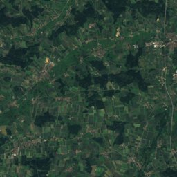
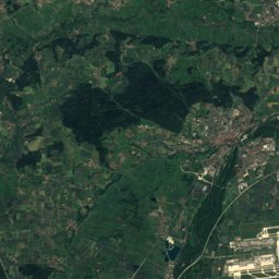
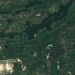
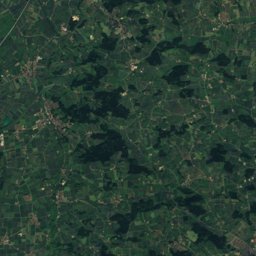
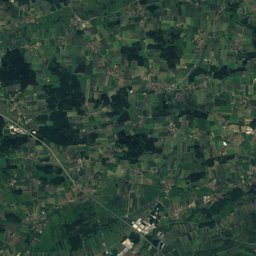
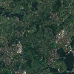
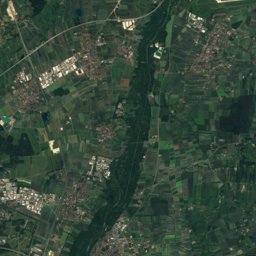
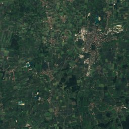
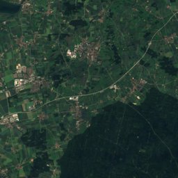
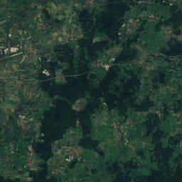
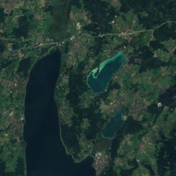
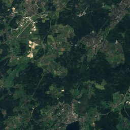
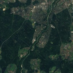
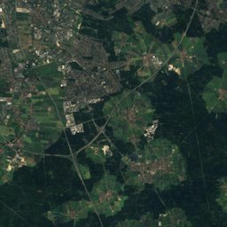
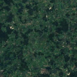
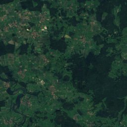
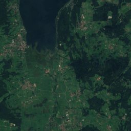
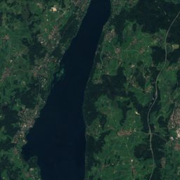
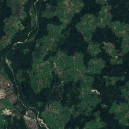
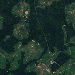
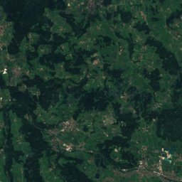
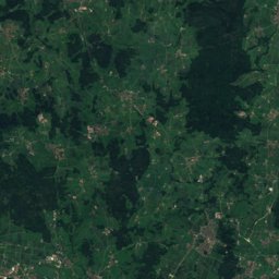
Satellite: Sentinel-2 cloudless 2016 by EOX IT Services GmbH · CC BY 4.0 · Contains modified Copernicus Sentinel data 2016
Outdoor activitiesHaar
Outdoors near Haar
within 15 km50places
Viewpoints18
Climbing11
48.11° N, 11.73° EElevation 545 mUTC+2 · Central European Summer Time
When to goHaar · weather score
Best timeJul–Sep
October: high / low14° / 5°
Viewpoints
Climbing
| Name | Nearby | Details |
|---|---|---|
| Boulderwand Riesige Rosiclimbing gym | 8.4 km | Website |
| DAV Kletter- und Boulderzentrum München-Südclimbing gym | 13.4 km | Website |
| Kletterturm Taufkirchencrag | 11.6 km | Website |
| Boulderwelt München Ostclimbing gym | 8.8 km | Website |
| Boulderblock “The Cave”climbing gym | 11.6 km | Website |
| SVN Kletter- und Boulderzentrumclimbing gym | 5.6 km | Website |
| Boulderwelt München Südclimbing gym | 8.9 km | Website |
| Heavens Gateclimbing gym | 9.1 km | Website |
| Dicker Hanscrag | 11.5 km | Website |
| Element Bouldersclimbing gym | 14.4 km | Website |
| High Eastclimbing gym | 5.9 km |
Golf courses
| Name | Nearby | Details |
|---|---|---|
| Golfpark München Aschheim | 8.2 km | Website |
| Golfzentrum München Riem | 5.8 km | Website |
| Green Hill Golf & Eventpark München-Ost | 8.5 km | Website |
| Golfclub Schloß Egmating e.V. | 13.4 km | |
| Golf Club Grasbrunn | 6.6 km | |
| Münchner Golf Club e.V. Thalkirchen | 13.9 km | |
| GolfRange München-Brunnthal (Platz Brunnthal) | 10.1 km | |
| GolfRange München-Brunnthal (Platz Kirchstockach) | 10 km | |
| Golfcenter Eicherloh | 14.1 km | |
| GC Egmating Arabella Course | 13 km | |
| GolfRange München-Brunnthal (3-Loch Platz) | 9.9 km |
Camp sites
Surf spots
| Name | Nearby | Details |
|---|---|---|
| Eisbach surfer wavesurf | 11 km | Website |
| Surf-Vereinsurf | 10.3 km |
Zoos
Theme parks
| Name | Nearby | Details |
|---|---|---|
| Cavalluna Park | 13.8 km | Website |
Aquariums
| Name | Nearby | Details |
|---|---|---|
| SeaLife München | 14.6 km | Website |
Ski areas
Diving
- Beyond Diving5.2 km
- Dive Support6.9 km
- HEDRA Tauchsport10 km
- Sub Sea11.9 km
Places come from an open map made by volunteers: well-known sites are there, small or new ones may be missing. Opening times and prices change, so check before you go.