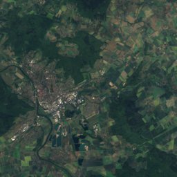
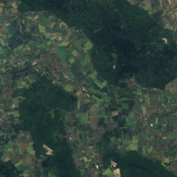
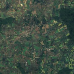
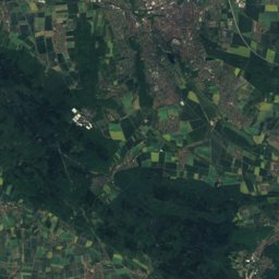
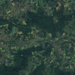
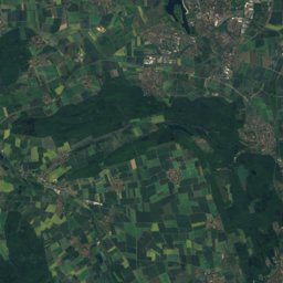
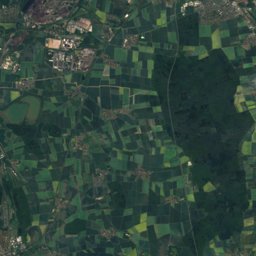
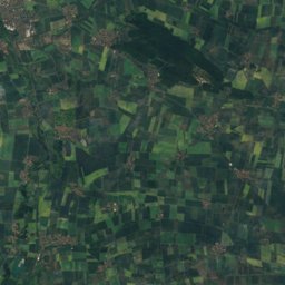
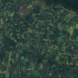
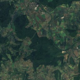
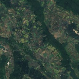
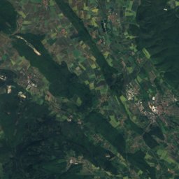
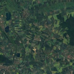
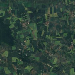
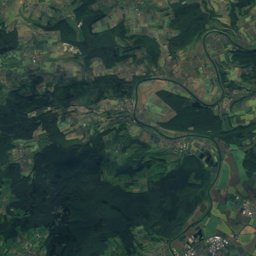
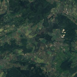
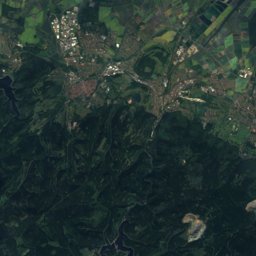
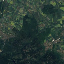
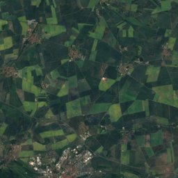
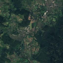
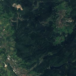
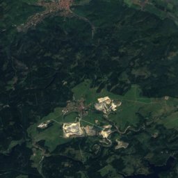
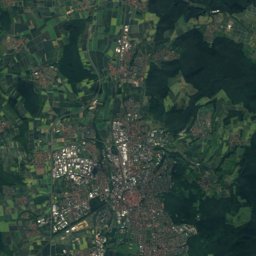
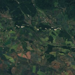
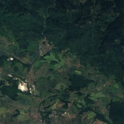
Satellite: Sentinel-2 cloudless 2016 by EOX IT Services GmbH · CC BY 4.0 · Contains modified Copernicus Sentinel data 2016
Outdoor activitiesGittelde
Outdoors near Gittelde
within 15 km58places
Viewpoints34
Camp sites17
51.80° N, 10.19° EElevation 196 mUTC+2 · Central European Summer Time
When to goGittelde · weather score
Best timeMay · Aug–Sep
October: high / low13° / 6°
Viewpoints
| Name | Nearby | Details |
|---|---|---|
| Iberger Albertturm | 4.6 km | |
| Aussichtsturm Kuckholzklippe | 9.4 km | |
| Schalker Turm | 14.5 km | |
| Teufelsecker Höhe | 11 km | 425 m |
| Burgruine Stauffenburg | 2.9 km | |
| Entdeckerturm | 3.4 km | |
| Schönhofsblick - Fritze‘s Ruh | 3.9 km | |
| Hübichenstein | 4 km | |
| Bismarcksklippe | 4.5 km | |
| Blick auf Eisdorf | 4.9 km | |
| Schöne Aussicht | 5.4 km | |
| Buchenblick | 6.1 km |
Camp sites
| Name | Nearby | Details |
|---|---|---|
| Campingplatz Prahljust | 11.2 km | Website |
| Regenbogen Bad Gandersheim | 12.2 km | Website |
| Das Kreuzeck | 12.4 km | Website |
| Wildwood Camping Harz | 9.3 km | Website |
| Harz Hideaway | 10.3 km | Website |
| Campingplatz Eulenburg | 10.4 km | Website |
| Campingplatz Innerstetalsperre | 14 km | Website |
| Campingplatz Brillteich | 12 km | Website |
| Obere Innerste | 8.1 km | Website |
| Wohnmobilstellplatz Lautenthalcaravans & motorhomes | 10.5 km | Website |
| Wohnmobilstellplatz Stabkirche Hahnenkleecaravans & motorhomes | 12.5 km | Website |
| Aloha Aqualandcaravans & motorhomes | 9.4 km | Website |
Mountain huts
| Name | Nearby | Details |
|---|---|---|
| Sepp-Ruf-Hütteunstaffed shelter | 7.5 km | Website |
| Schutz- und Wanderhütte Wrescherodeunstaffed shelter | 12.1 km |
Theme parks
| Name | Nearby | Details |
|---|---|---|
| Rutschenturm | 13.3 km | |
| Märchental | 4.8 km |
Zoos
| Name | Nearby | Details |
|---|---|---|
| Waldvogelstation | 10.5 km | Website |
| Streichelzoo - Ponyhof | 14.9 km |
Climbing
| Name | Nearby | Details |
|---|---|---|
| Kletterwand ehemaliger Steinbruchcrag | 11.4 km | Website |
Diving
- Northeimer Seenplatte17.5 km
Places come from an open map made by volunteers: well-known sites are there, small or new ones may be missing. Opening times and prices change, so check before you go.